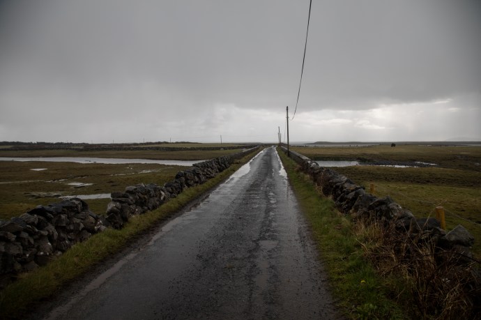
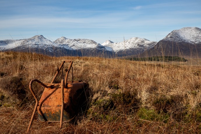
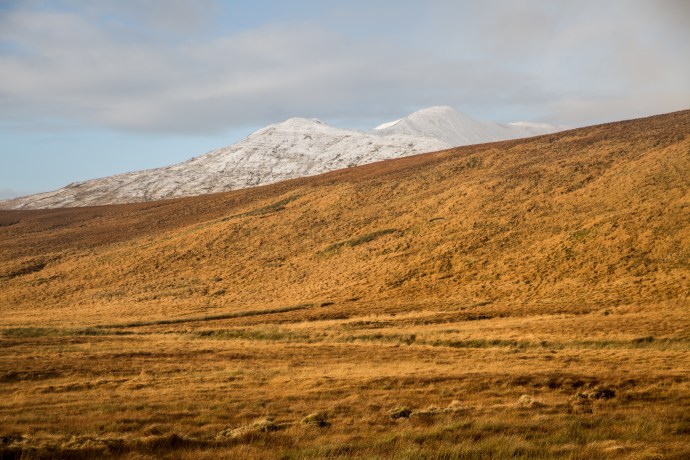
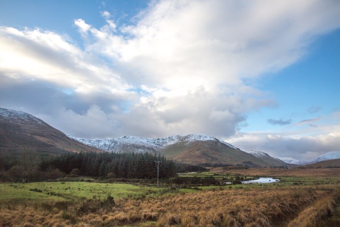
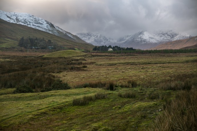
After days of virally-enforced isolation I looked out my window one Friday morning in March, to a cloudless sky over Quilty. For the five weeks I had been back such a day had only happened a couple of times. I wasted no time, grabbed my camera and pointed the car northwards. Don’t get me wrong; not to get away from Quilty but here was my opportunity to visit Connemara again. OK, so it was a three-hour drive but I have experienced this place in all its moods and it is unbeatable in the sunshine. My destination ths time was Roundstone, a little corner of Connemara that I hadn’t properly explored. To get there you go through Oughterard and Maam and head out on the road to Clifden.
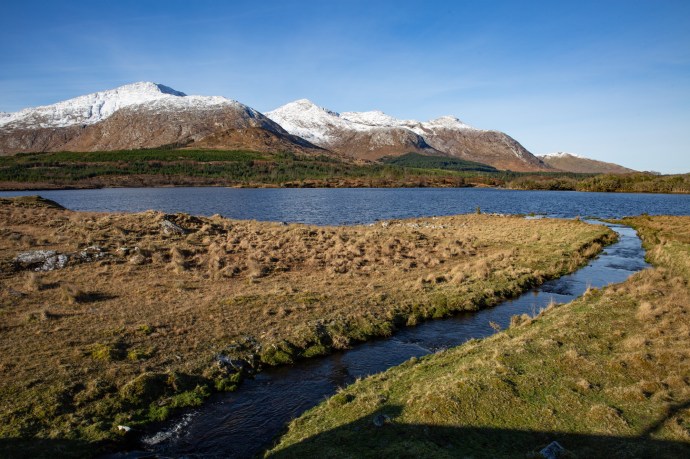
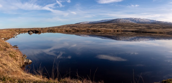
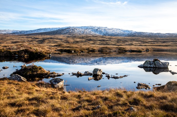
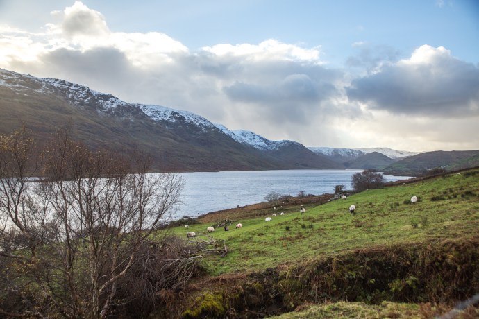
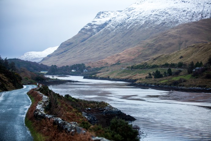
The view from Pine Island lookout
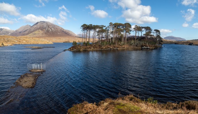
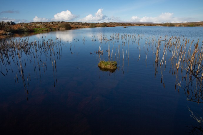
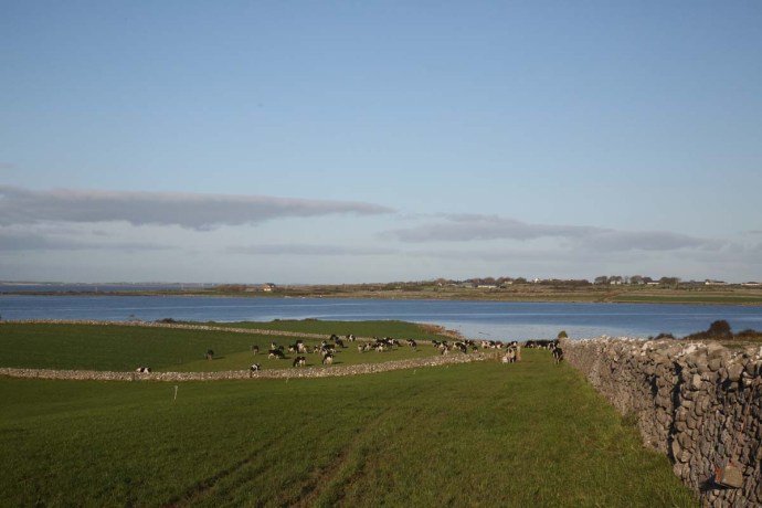
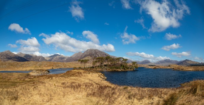
Twelve Pines Island
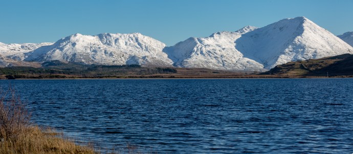
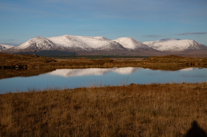
And that is not too shabby a drive. There’s one spot on this route that I cannot drive past without taking a photo. Just past Recess is the Pine Island Lookout at the western end of Derryclare Lough. Not surprisingly it looks out over a pine covered island, named Twelve Pines Island framed in the distance by the mountains of Connemara National Park. Not sure why it is called Twelve Pines, because there are more that 12 but ‘Twelve Pines’, ‘Twelve Pins’, maybe someone is having a little joke. It certainly is the spot for a that classic Connemara postcard shot.
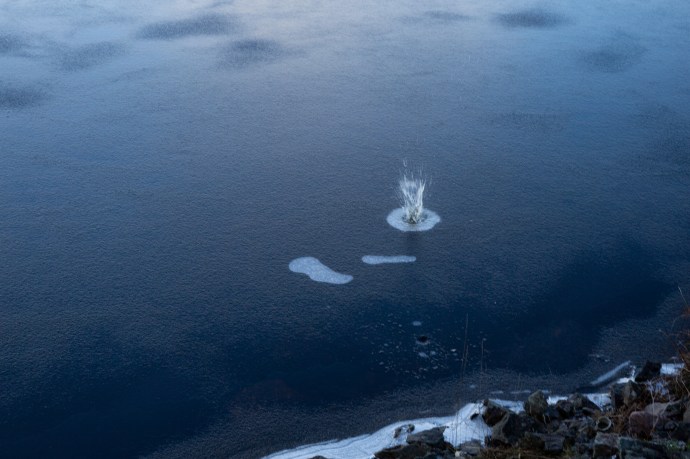
I met Hugh Sweeney there; a filmmaker from Galway, who was obtaining some drone footage. It was fascinating to watch the process and then to see the result, which he posted the following day. I have added a link to the finished product. You can even see yours truly at the end of the first shot if you look closely.
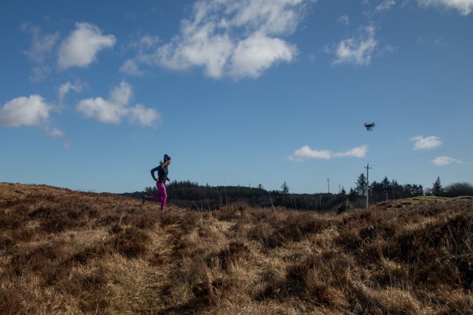
Tracked by a drone at Pine Island Lookout
We chatted, from a distance of course, and he told me about a little hut on the Owenmore River on the way to Roundstone. which he thought would be a good location for a photo opportunity.
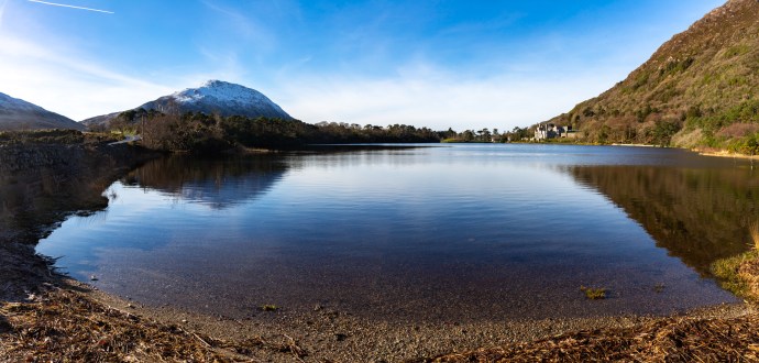
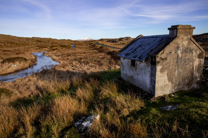
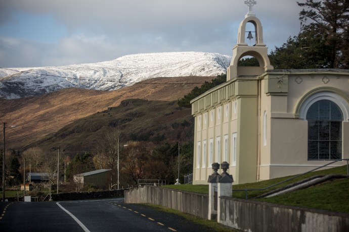
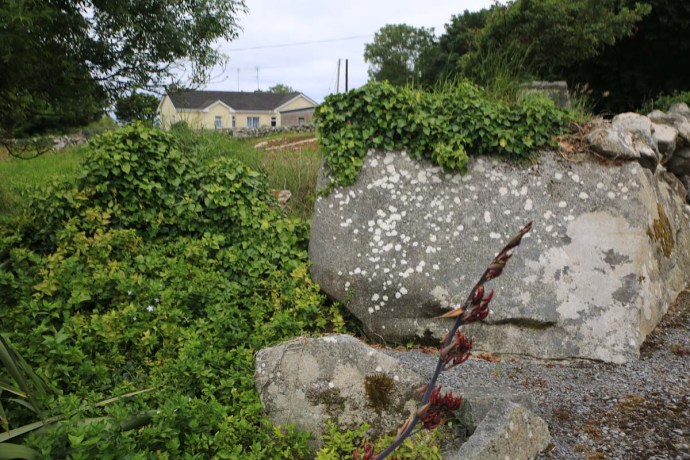
It was on my way; but of course I got distracted. The road was winding along the shoreline of Ballynahinch Lake and on the left near a bridge just before Ballinafad was a little church and a graveyard behind it. A simple building painted white and blue and nestled on a little river with those 12 Pins as a backdrop on one side and craggy hills with gravestones poking randomly out of the tussocky grass on the other.

St Bridget’s Church and Graveyard with the Twelve Pins in the background.

The graveyard extends for hundreds of metres along the lake shore.
St Bridget’s Church viewed from the New Cemetery across the Lough.
It is hard to imagine a more peaceful, wild and naturally unkempt cemetery. I think it’s marvelous that it has been left that way with no new burials. The graves seem to continue for a considerable distance along the lake shore and beyond that is the New Cemetery visible on the other side of Lough Nacoogarrow.

The New Cemetery at Ballinafad viewed from the Old cemetery.
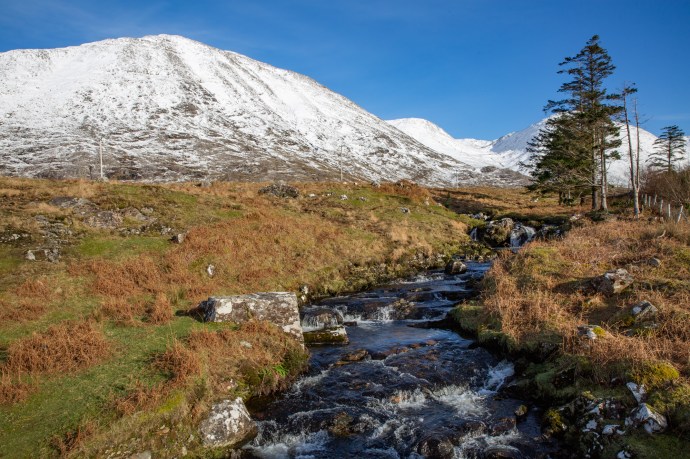
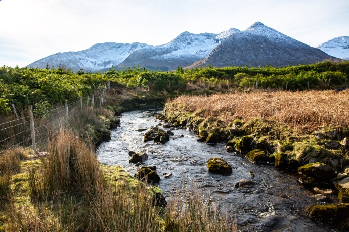
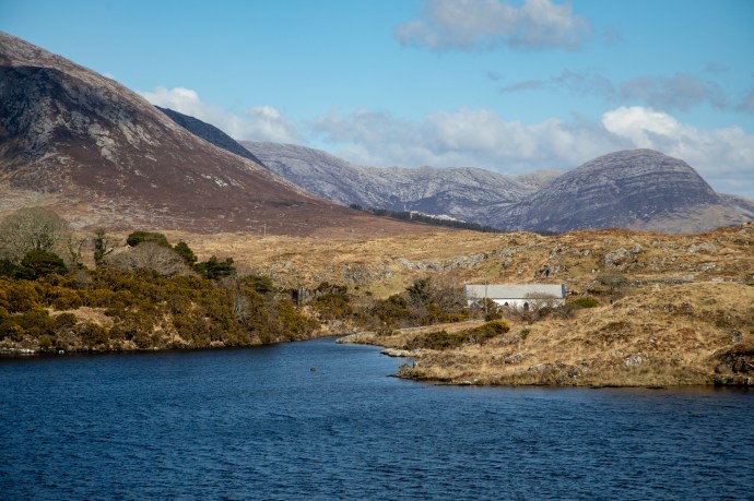
I found what I thought was the fishing hut Hugh had told me about on the banks of the Owenmore River. A priceless view and I took some pics. I had to pinch myself to remind me that I was still in Ireland and not the Canadian Rockies.
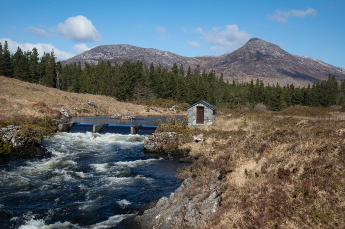
Fishing hut on the Owenmore River

Fishing hut on the Owenmore River
Driving on a few hundred metres donw the river was another hut and there I caught up with Hugh again. So a few more pics of course.

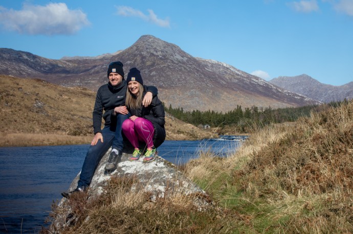
Hugh Sweeney and Jenny on the Owenmore River
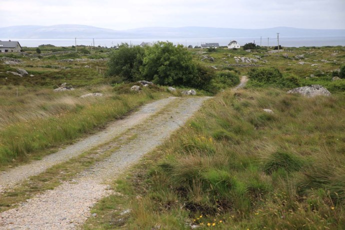
Heading on to the sparklingly pretty village of Roundstone perched on the shore of Roundstone Bay across which the Twelve Bens can be seen in the distance. A fishing village still, but well known now for its arts and crafts as well as its incredible natural beauty. And with all the cafes restaurants and bars shut during the Corronavirus lockdown why were there so many people around I asked myself.

The village of Roundstone
View across Roundstone Bay I

View across Roundstone Bay II
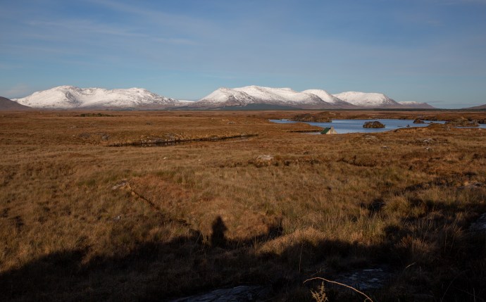
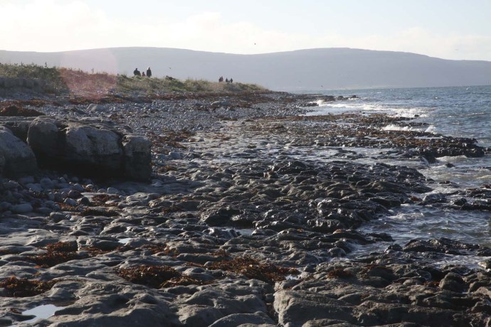
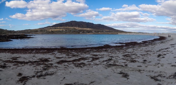
The answer lies a few kilometres further down the road at Gurteen Bay. Here are two beaches that regularly appear on the lists of Ireland’s Best Beaches. The two beaches, Poll na Madrai (Dog’s Bay) and Pol na Feadóige (Plover Bay, although Feadóige also means tin whistle – I think I prefer the alternative name Tin Whistle Beach) are on either side of a spit of sand and grassland with a granite island at the end. This type of isthmus is known as a Tombola.

The Tombola near Roundstone. Plover Bay on the left and Don’s Bay on the right.

Dog’s Bay looking south.
Another view of Dog’s Bay looking north towards Errisbeg.

Tin Whistle Beach
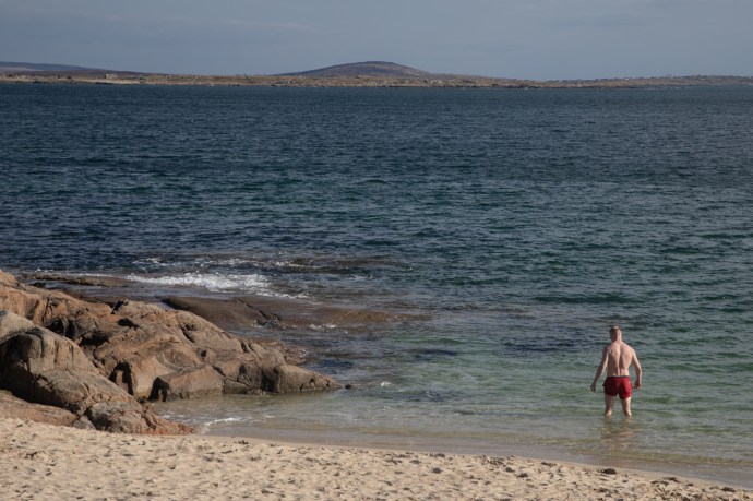
Mad Dogs and Irishmen
White sandy beaches line each of the Bays bays and they are simply stunning
The white sand is unique. It is not quartz or coral as I have encountered regularly elsewhere but a mix of foraminifera and shell fragments. What are foraminifera (forams for short)? They are single-celled tiny marine organisms, related to amoeba, but with a hard shell They are abundant, both today and in the fossil record going back to the Cambrian (540 million years). The shells are made of crystalline CaCO3 and occasionally as at Dog’s Bay and Gurteen accumulate as beach sand.
The fine sand has crept over the granite hills nearby creating what I would like to call pseudo dunes. But there are ‘real’ dunes however, particularly behind Dog’s Bay and continuing erosion has created moonscape of remnant pinnacles which are remarkable in their own right.

Sand dunes sculpted into pinnacles at Dog’s Bay
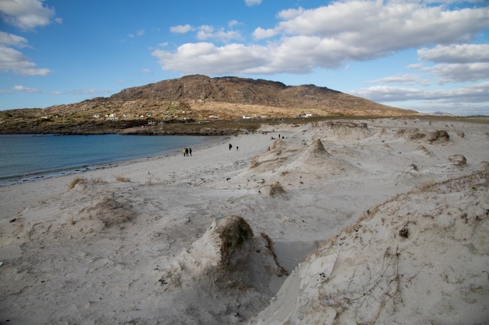
Remnants of sand dunes at Dog’s Bay. Looking towards Errisbeg.
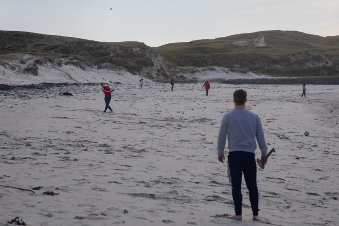
Social distancing at Dog’s Bay
Despite it being a Friday in March and the coronavirus lockdown it was very difficult to find a car park at Dog’s Bay. The beach is completely undeveloped with no facilities and that adds enormously to its appeal. I can just imagine what it would be like in summer.
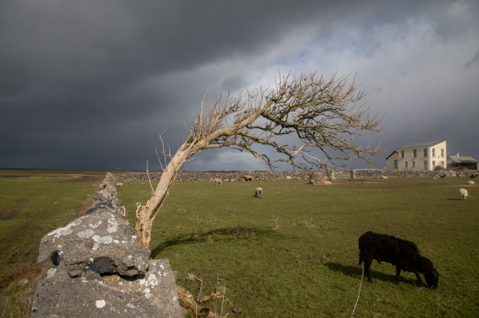
As the clouds rolled in about 4 pm the normal Irish winter-dull greyness reappeared. But what a wonderful day of discovery I had, and a perfect cure for cottage fever and enforced distancing from society. I can totally recommend it. There is nowhere in Connemara you won’t be rewarded with a magic experience. It never fails to deliver.