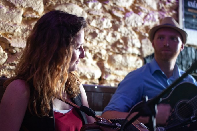
Anton Zille is from Moscow. He plays the fiddle, is a regular visitor to Ireland and is totally obsessed with Irish music. Not just Irish music but music from Sliabh Luachra. He runs Sliabh Luachra sessions and dances in Moscow and is a fund of knowledge on the genre.
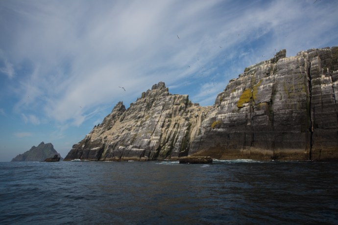
Sliabh Luachra is an ill defined area in the heart of Munster, straddling the Cork-Kerry border. Here a unique musical and dance tradition evolved, perhaps, due to its isolation. Perhaps also because of this isolation it remains preserved to this day. Numerous dance sets survive with local variations and with local tunes for accompaniment.
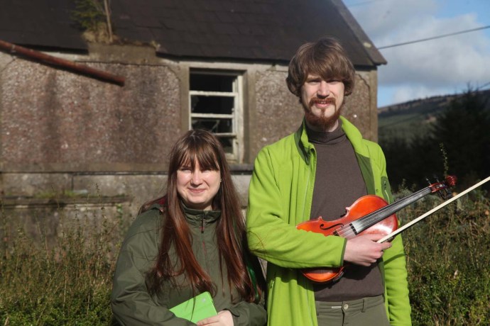
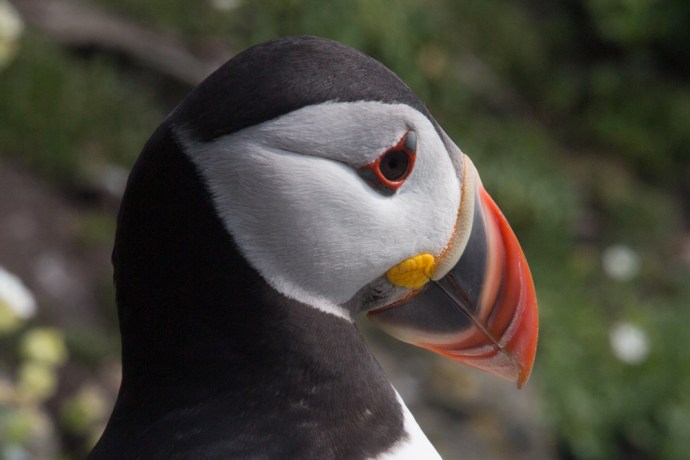
Catherine Mosksovskova and Anton Zille outside Padraig O’Keeffe’s house, Glentaune.
Oh yes, Anton. I had spent the week with him and another visitor from Moscow, harp player Catherine Moskovskova, at the Scoil Cheoil an Earraigh in Ballyferriter, near Dingle. This was back in February 2016. When I mentioned to Anton that I knew nothing of Sliabh Luachra, he seized the opportunity. “Oh there’s a session in Newmarket you might like on Monday. Why dont you give me and my friend Catherine, a lift there?” “And I will show you Sliabh Luachra”.
It did cross my mind that there was something ironic about being shown the hidden secrets of an area, that most Irish know nothing about, and having the culture explained to me by a fiddling Muscovite. Naturally I agreed.
Mea culpa time. I have already admitted I knew nothing about Sliabh Luachra. Its music, its geography, the culture. Of course I had heard of Padraig O’Keeffe and Johnny O’Leary and Jackie Daly and Denis Murphy and Julia Clifford (I even own a copy of Star Above the Garter on vinyl). But growing up in the Australian trad music scene, such as it was, no one played polkas except beginners and if they did play them they didn’t know how to play them properly. This was reinforced when I moved to Ennis, where it is rare to hear a polka or slide in a session. When you do, often as not, someone would raise their fingers forming a cross as if to ward off vampires.
But Sliabh Luachra is not just polkas and slides. Reels, hornpipes and jigs get a good look in. There is a wonderful book on Johnny O’Leary’s music by Terry Moylan. His repertoire showed a surprisingly even distribution of polkas, slides, jigs, reels and hornpipes, though slides and polkas together made up nearly 50%. This pie chart shows this.

Tune types in Johnny O’Leary’s repertoire. Data from Johnny O’Leary of Sliabh Luachra by Terry Moylan.
In fact the arrival of polkas and slides was probably in the late 19th Century. Prior to this manuscripts from Sliabh Luachra are devoid of these tunes and dominated by reels, jigs, airs and programme music.
The name Sliabh Luachra. One translation is ‘mountain of rushes’ which would be fairly apt as it is covered by bog and beds of rushes. Another says the name comes from Ciarraí Luchre, a pre-celtic god who also gave Kerry its name. In any case the area was largely uninhabited until the 16th Century and then stayed a remote outpost away from the gaze of the authorities. It wasn’t until the 19th Century that roads were built and the area became noted for butter production.
Culturally the area has a unique heritage. Famed for it’s literature and poetry as well as its music.
So Monday night in Newmarket found us in Scully’s pub.
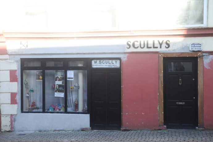
Scully’s Bar Newmarket.
Behind the simple unpretentious façade is the perfect session pub. The music is in the back room as it has been for over forty years. Large enough to accommodate twenty musicians comfortably. This night there were a dozen.
The pub has been in the Scully family for over nearly 100 years. Sessions started at the behest of Jackie Daly, who lived five minutes away in Kanturk, in the early 70s and have been held every Monday since.
It became THE gathering place with Jackie Daly joined by Johnny Leary, Julia Clifford, Jimmy Crowley and many others. With many of the attendees being taught by Padraig O’Keeffe there was a direct link to the master. It is kept alive today by stalwarts like Timmy O’Connor, who unfortunately wasn’t there this time, and Ray O’Sullivan and John Walsh, who led the session this time.
This was a gathering of musicians who wanted to play together for the sheer fun of it. So of course it was a bit up and down. There were some beginners and they were given quite a bit of scope to start tunes. There was Marie Forrest on the piano; she’s been coming for 36 years. This added a strong rhythmic element and you could just imagine the floor filled with dancers.
Of course there were polkas and slides but there was a good mix of all the old standards. Many of the polkas I didn’t recognise, but many I did. It certainly helped that I play regularly with Jackie Daly, who now lives in Miltown Malbay in County Clare and plays in Friels Pub every week. What I really loved was the sharing culture of this session. If people didn’t know the tune then it was played again, slower, for people to pick it up. Perhaps this was a hangover from the days when people such as Jackie and Johnny O’Leary were the custodians of the tunes and passed them to the next generation.
The pace was gentler than I expected. Sweeter. Not at all like the West Kerry version with its preponderance of accordions and driving rhythm (Cooney/Begley influence?) .
This seems to be the only regular session in the Sliabh Luachra region which was surprising for an area with such a rich tradition. A bit like East Clare I suppose where it is hard to find a session outside of Feakle.
Next day Anton, as promised, was my guide on a tour of the area. There were so many familiar town names. Ballydesmond, Scartaglen, Newmarket. All with polkas and slides named after them. Apparently the local set dances had no names and the early collectors identified them by the locality. The tunes attached to these sets were then somewhat arbitrarily named also. Many tune names became attached to towns only as a matter of convenience so not too much can be read into the name.
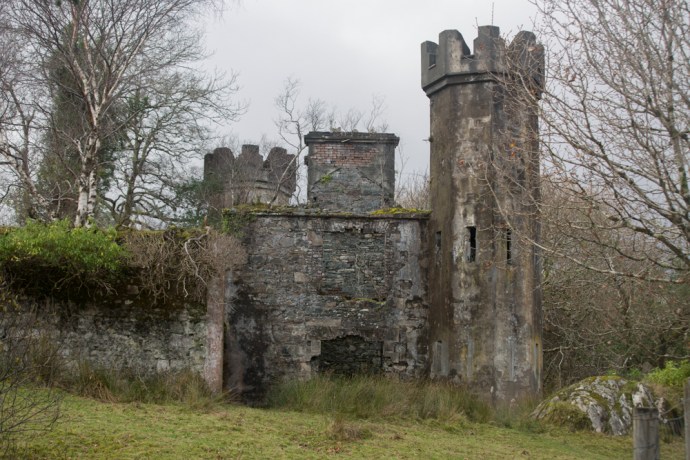
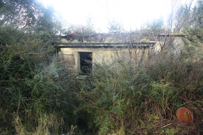
We had to visit the holy shrine. The birthplace of Padraig O’Keefe. The house where he was born in 1887 is at Glountane Cross. It is still there. Just. He lived there until he died in 1963.


Padraig O’Keeffe’s house. Another view.

Commemorative plaque at Padraig O’Keeffe’s house

Padraig O’Keeffe’s house. Beyond repair?
His father was the headmaster of the nearby national school and Padraig became a teacher there in 1915. We visited the school which is also a crumbling ruin.
National School at Glountane.

Interior of National School, Glountane

Anton Zille at National School Glountane
He was not happy in the job and left about 1920 to become and itinerant fiddle teacher. For the next 40 years he walked up and down the hills of Kerry/Cork sometimes as much as 30 miles a day.
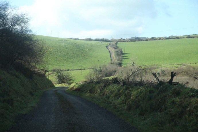
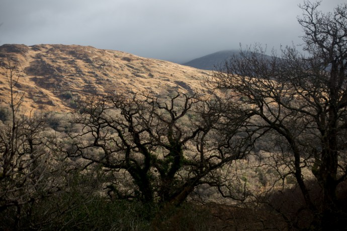
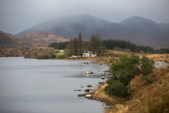
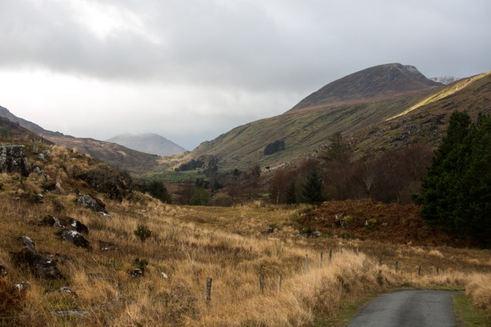
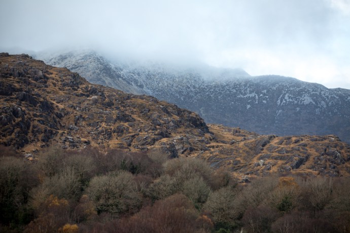
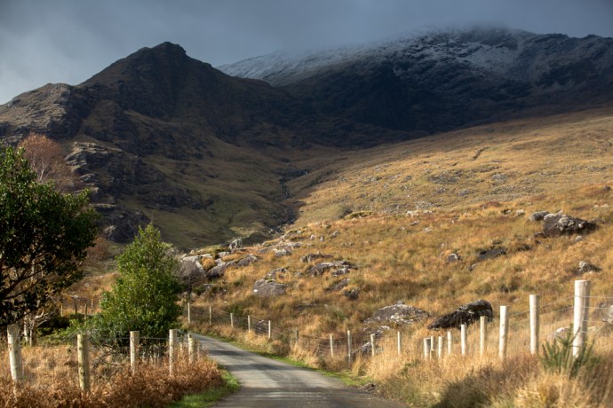
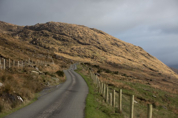
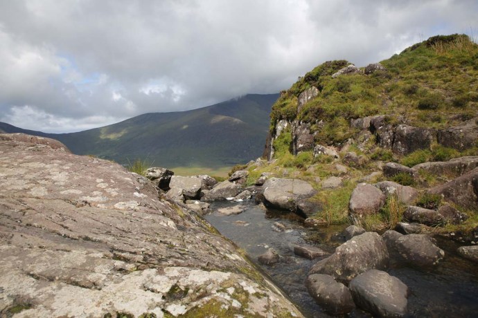
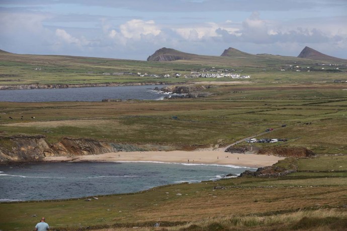
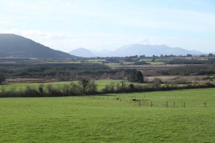
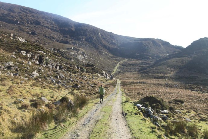
General view Sliabh Luachra
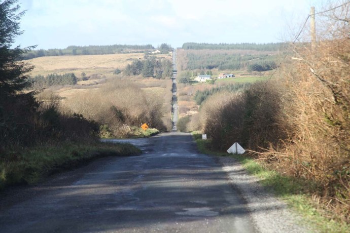
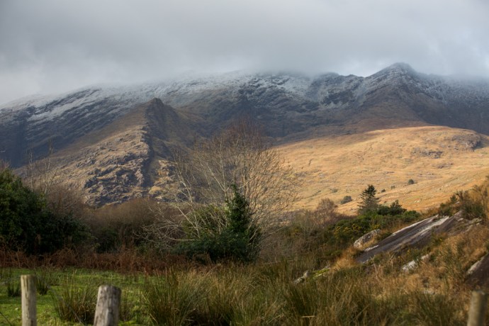
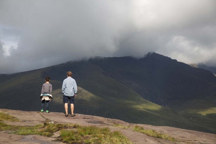
Padraig O’Keeffe walked these roads for forty years
By all accounts he was a good teacher and developed his own style of notation. A system of 4 spaces between 5 lines to show the strings and the numbers 0 1 2 3 4 to show the fingers. A number of his manuscripts survive and are housed in the Irish Music Traditional Archive. These images come from their online copies.
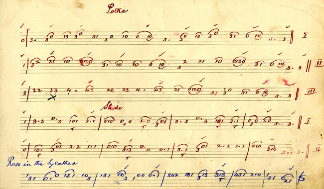
From a manuscript showing Padraig O’Keeffe’s unique notation. Courtesy ITMA.
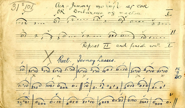
Another page from the same manuscript. Courtesy ITMA
He frequently played in Jack Lyon’s Pub in Scartaglen which is still there.

Lyon’s Bar Scartaglen.
Among his pupils were Denis Murphy, Murphy’s sister Julia Clifford and Johnny O’Leary.
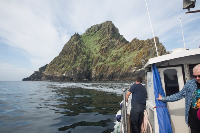
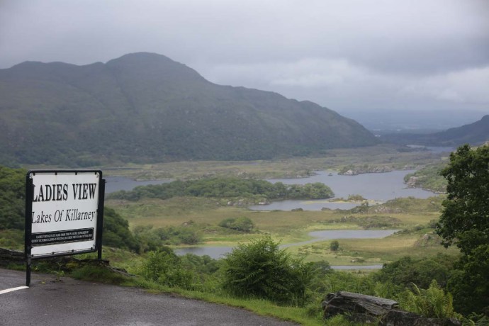
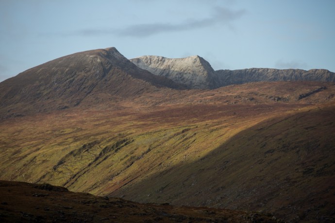
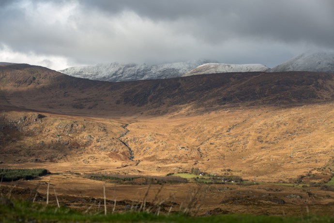
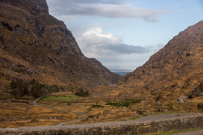
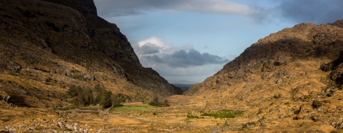
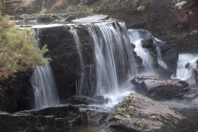
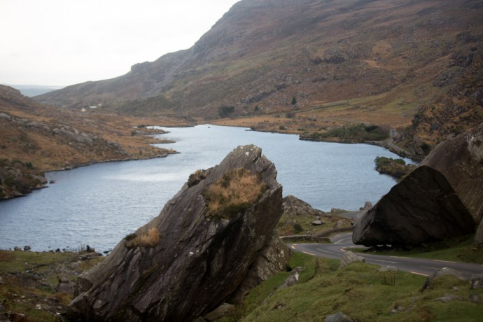
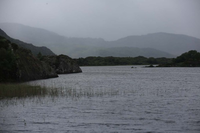
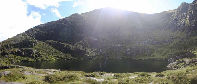
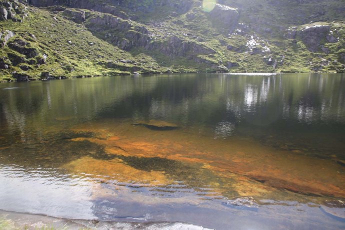
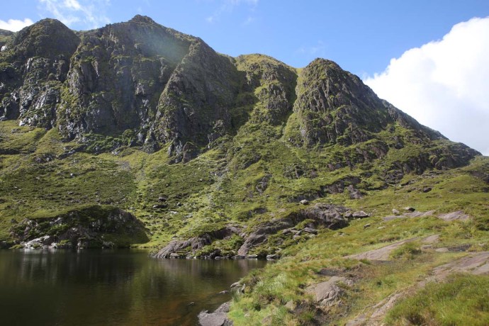
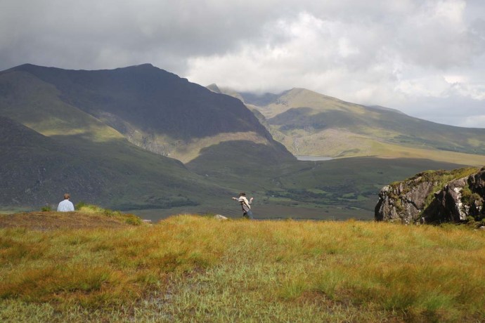
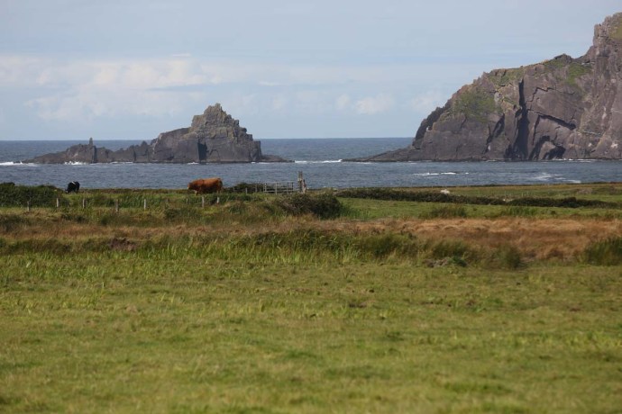
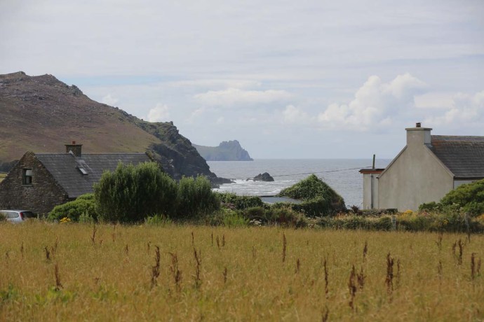
Sliabh Luachra is not just Padraig O’Keeffe and the music. There are a lot of interesting things to see. It gets quite hilly to the south with the Paps of Anu dominating the landscape to the south. The name originates from the similarity of the two mountains to the shape of the breasts of the legendary pre-Christian goddess Anu (Danu). THis is the same Danu that gave her name to the Well known traditional band, the River Danube and Denmark! You can drive through these mountains though the roads get a bit rough. We visited Shrona Lake. Ruggedly spectacular.
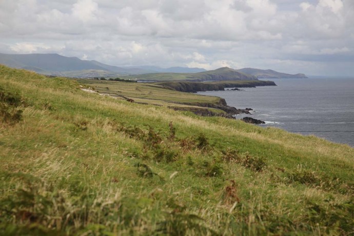
The Cork and Kerry Mountains
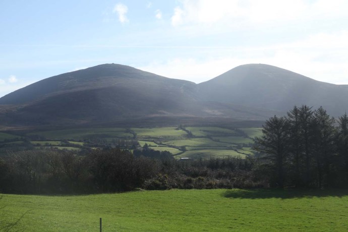
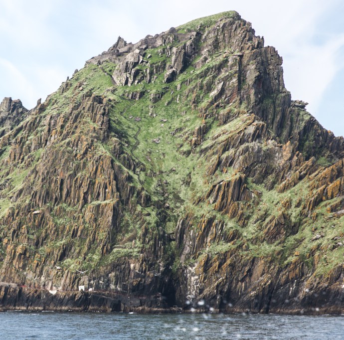
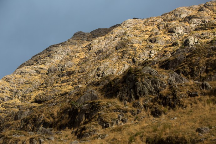
The Paps of Anu
Walking in the Paps
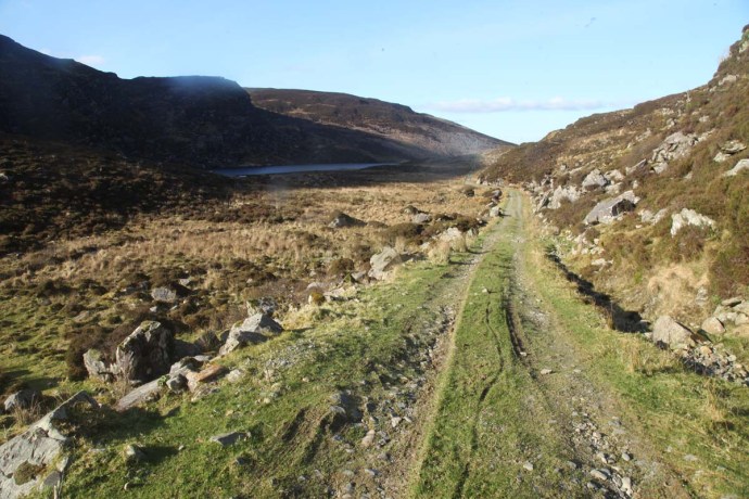
Lake Shrona
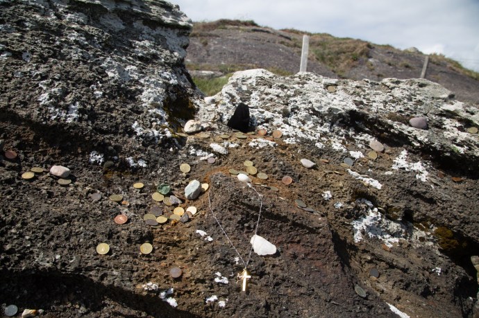
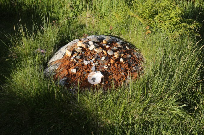
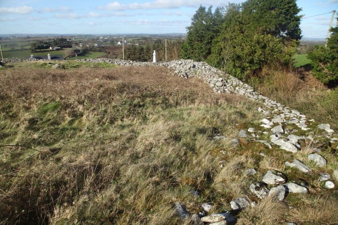
Then there is An Cathair Cubh Dearg. Also known as The City, this site with the Paps as a backdrop is said to be the first place populated in Ireland and the oldest centre of continuous worship in the world! Tuatha De Danann (descendants of Danu) settled here 10,000 years ago. The ring fort wall dates from this time. It was later used as a place of Christian worship.
Ring fort wall at The City. Paps of Anu in the background.
An Cathair Cubh Dearg, showing ancient wall and Christian elements.
So that’s it. Sliabh Luachra. Great music, heritage, landscape. And thanks to Russian ‘collusion’ I now understand it better!