One of the things I love about touring in Ireland is that you find so much to enjoy in the most unheralded and remote corner of of the country. You don’t need to join the throngs of visitors kissing stones, ticking boxes and visiting interpretive centres to enjoy the ‘real’ Ireland.
Take the village of Maghery in the the area know as The Rosses near Dungloe in west Donegal.
What drew me there was a sunny Donegal Saturdayin late autumn and a vague knowledge of some sea arches at nearby Crohy Point, a spot favoured by photographers.
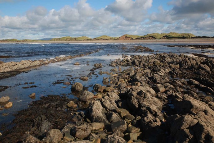
Clohy Sea Arches
But I found far more.
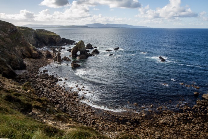
Yes there was the Bristi Stack and the Clohy Sea Arches. Unique land forms such as these are found dotted up and down the Irish coastline. It was easy enough to find the location along a scary single lane cliff road. And I mean scary; you have no choice but to rely on the other driver to be doing the right thing.
The Clohy Sea Arches are marked on GoogleMaps but not on the ground. Clearly they don’t want people stopping. There is space for two cars to park on the verge and you can’t actually see the rock formations from the road. Feeling that sense of welcome provided by a locked farm gate you climb it and follow a track that leads toward the coast and down the hill where you get your first look at the unusual triangular arch.

Panoramic view of Clohy Sea Arches

The Bristi Sea Stack
Nestled in a small bay it is accompanied by a number of pinnacles which are the remains of similar collapsed arches. There is another quite different arch attached to the mainland at the other end of the bay where the rocks are dragged into near vertical by a fault which has since eroded out.
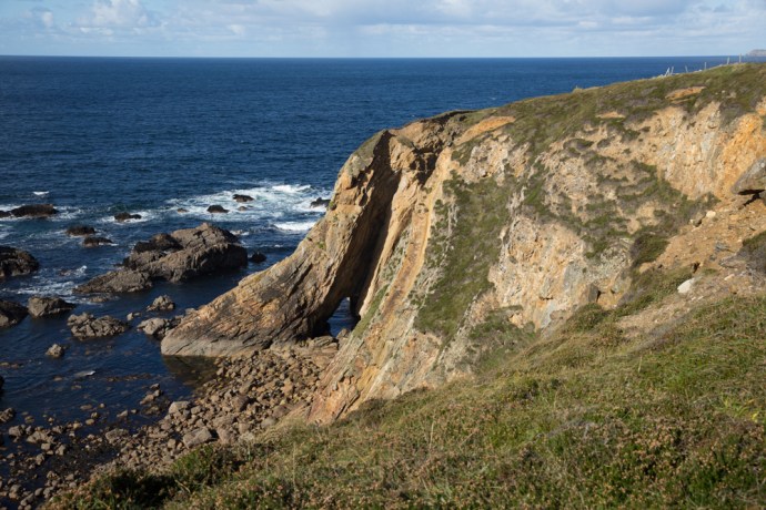
Natural bridge formed by erosion of fault fill material
The Bristi stack was first climbed by professional sea stack climber Iain Miller in 2011. If you are contemplating it you need ropes, a dinghy to get there, amazing skill and a whole lot of heart. Not for me but have a look at this video on climbing Bristi Sea Stack

That’s Iain Miller stands on Bristi Sea Stack. Unknown photographer. Unknown date
For more sedate pleasures I drove back to the village. Past the 1804 Signal Tower, like many others that dot dozens of remote headlands and islands along the west coast of Ireland. Built to give warning of an impending invasion by Napoleon. This one looks to be in excellent condition. I wasn’t up to the hill walk to get there this day. Thanks be to long lenses.

View in the vicinity of Maghery. Napoleonic signal tower.
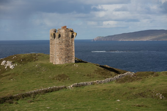
Napoleonic signal tower
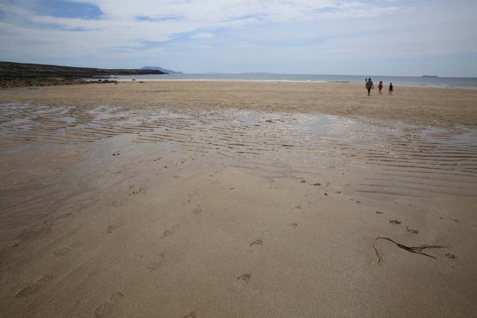
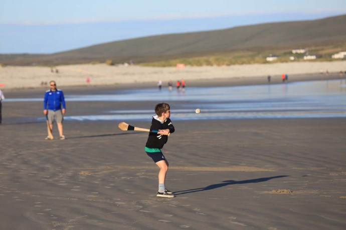
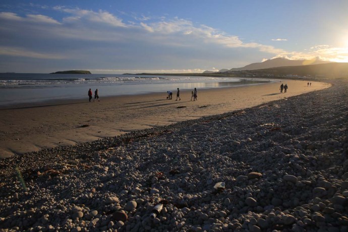
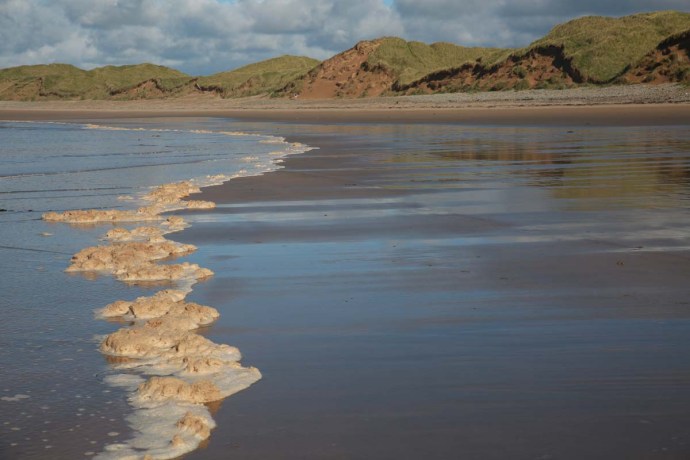
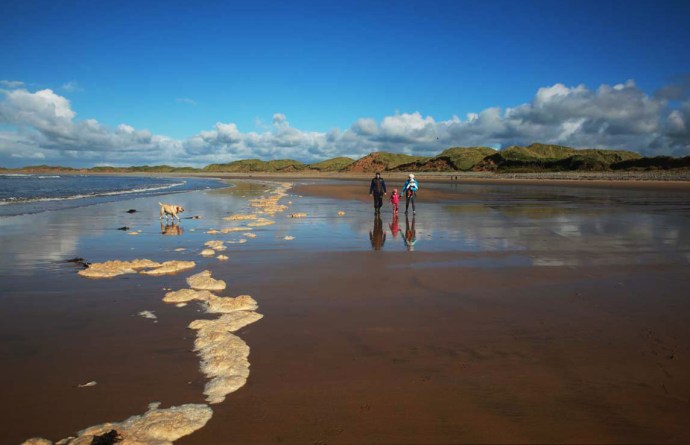
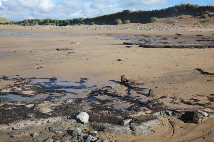
The village itself lies adjacent to a beautiful wide sandy strand. This Saturday it was empty except for the local equestrian group practicing their show jumping in this idyllic location. Happy horses indeed.

Maghery nestled in the bay

Practicing show jumping on the beach at Maghery


Hand painted signs on slate placed by the roadside led me to other points of interest. There is an impressive stone circle just north of the village. Again you are left to your own devices; there is no marker on the ground and no directions as to how to get there. Twenty metres in diameter and a bit overgrown but some diligent searching found this 4-5,000 year old monument. These circles are very rare in west Donegal, I believe.

Termon Stone Circle
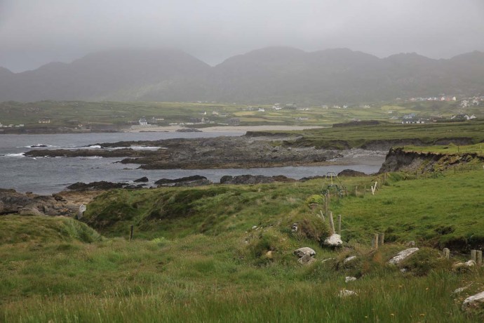
From here you get a sense of that Donegal wildness as you look to the north east across Dungloe Bay towards Mt Errigal 23 km away on the horizon.
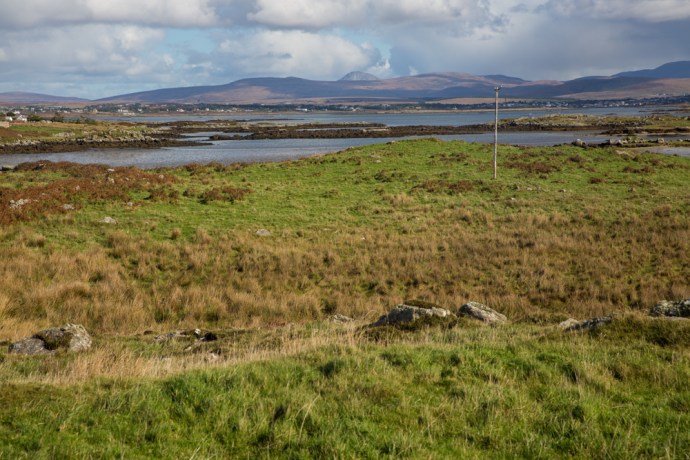
View across Dungloe Bay to Mt Errigal
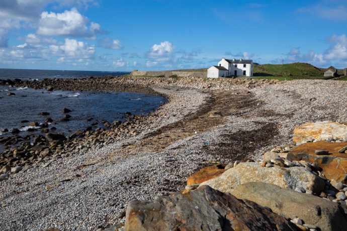
Nearby is Termon House built in late 18th century and once owned by the local clergy sits on its own glorious beach. It is available as a luxury holiday rental.
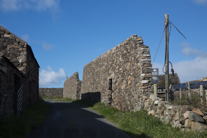
Adjacent to the house are some impressive walls built as work relief for those affected by the famine of 1847. Hence ‘Famine Walls’. Apparently the government refused to support the then landowner who ended up footing the £1,500 cost of paying his labourers 1d a day to build the wall. Beautifully constructed though they remain standing 170 years later.
The afternoon was closing in and I could hear the ringing sounds of twenty fiddles filling my head with mazurkas and schottisches so it was time to return to Glenties. I was well satisfied with this little village that delivered a slice of Donegal’s wild coastal scenery and its human history of over 5,000 years.