I visited Connemara at the beginning of February 2019 after an extensive snowall and having mentioned this to a friend, and how beautiful it was, I was surprised at her response. “What did I mean by beautiful? Was it just the snow?”
I hadn’t really thought about it; it just was. I could have just quoted the Oxford definition – ‘pleasing the senses or mind aesthetically’ but that would have been too glib. For millenia philosophers and poets have struggled with the notion of beauty so who am I to think I can explain it, but I felt obliged to respond and to try to put my thoughts into words.
So what did I mean by beautiful?
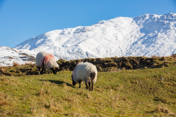
I just love snow so of course that was part of it but it was a lot, lot more. I’ve been to Connemara many times and each time it has presented a different face. And each time I have loved it, but it is notorious for its bleak, drab weather; rain and fog has been the norm in my experience. Never, for me, have the Gods conspired to produce such sheer perfection as this paraticular weekend. A world that defies description and conditions attuned to capture every nuance of the landscape. The mountains of Connemara, the Twelve Bens, have a sublime beauty at any time, but when covered in snow they are dizzyingly so. And this was no ordinary snow. Locals I talked to said it’s like this perhaps every ten years. The purest white. But what was so special was that the weather, the light and the landscape were in perfect harmony. That’s what I mean by beautiful.
Let me explain a bit more.
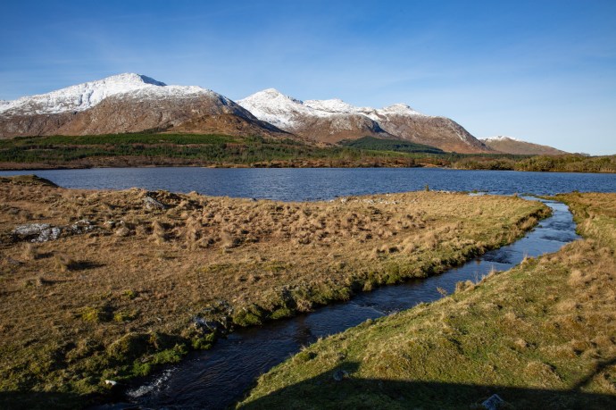
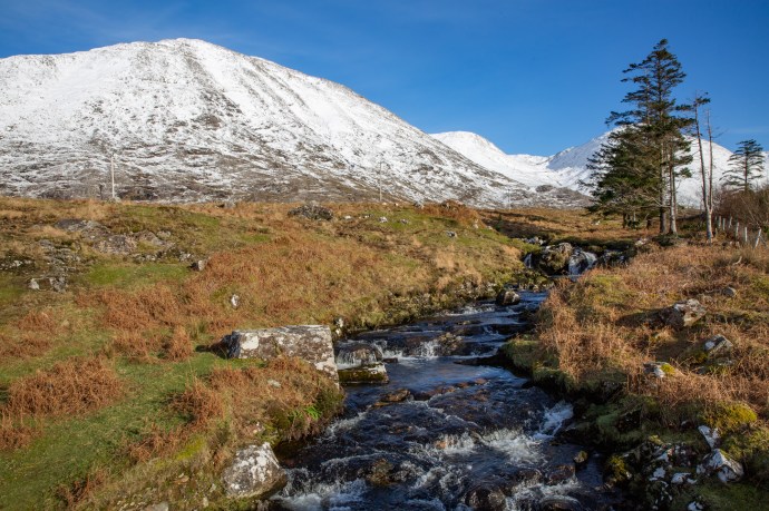
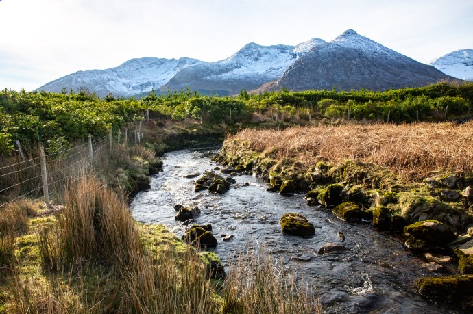
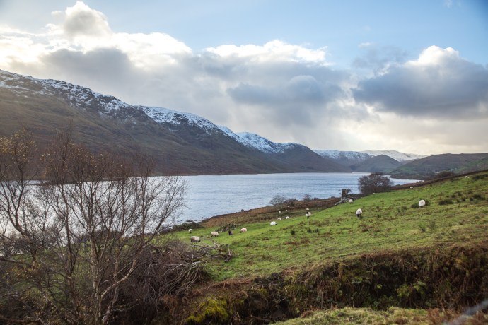
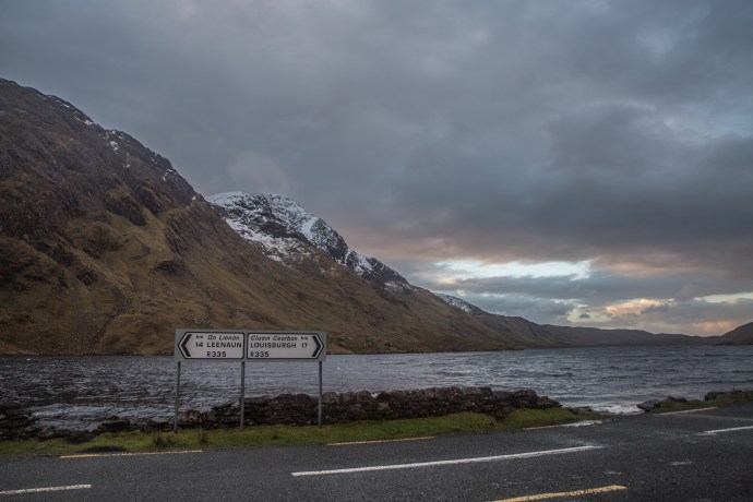
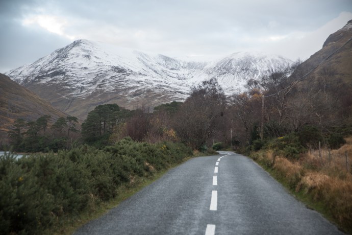
On the Friday I travelled from Oughterard through Maam Cross to Letterfrack. Taking in Lough Inagh and Kylemore Abbey. A continually moving image of the bluest of lakes, snow-covered rocky mountains, treeless bogs with tussocky grass, or rubble-strewn fields of boulder granite and cascading streams. All illuminated by the low winter sun, with not a trace of haze, giving an extraordinary light, and enabling capture in my photos of every detail against an endless, azure, cloudless sky. It was cold; the temperature hardly getting above 0°C, but around every corner I had to stop the car, rug up and get just a bit closer.

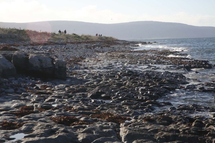
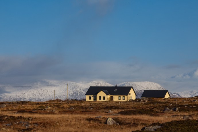
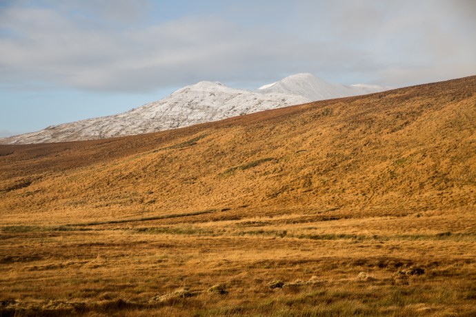
Levallinee, Connemara, Co Galway.

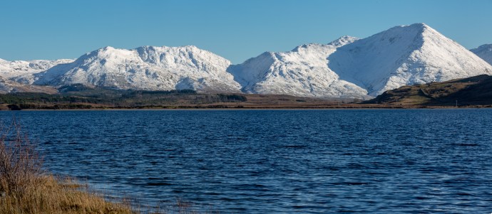
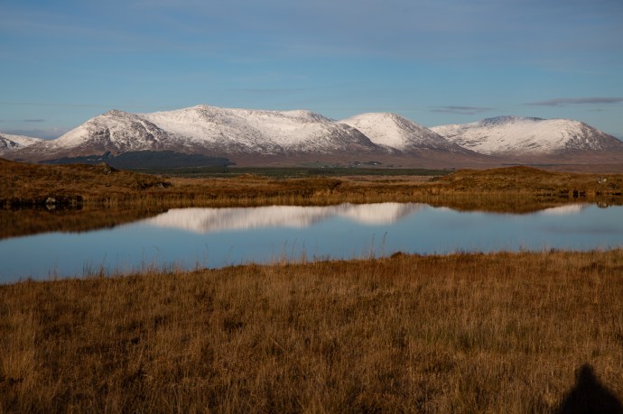
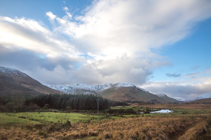
Lough Inagh, Connemara

A morning stroll
Lough Inagh
Monarch of the Glen
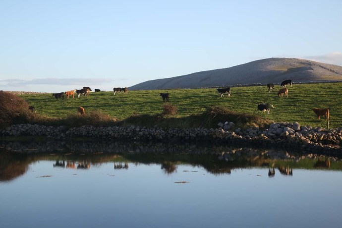
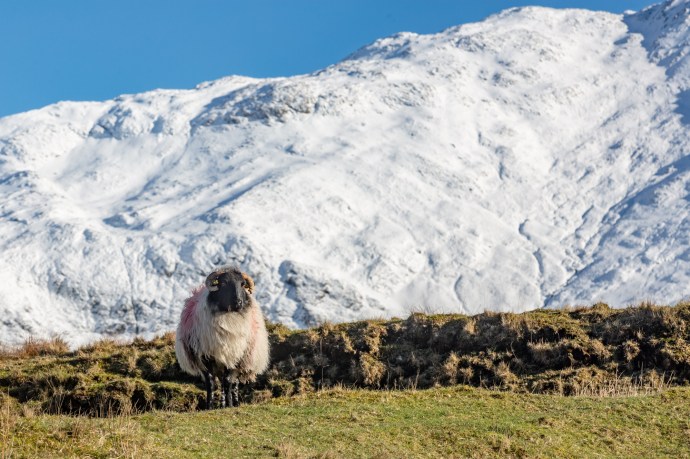
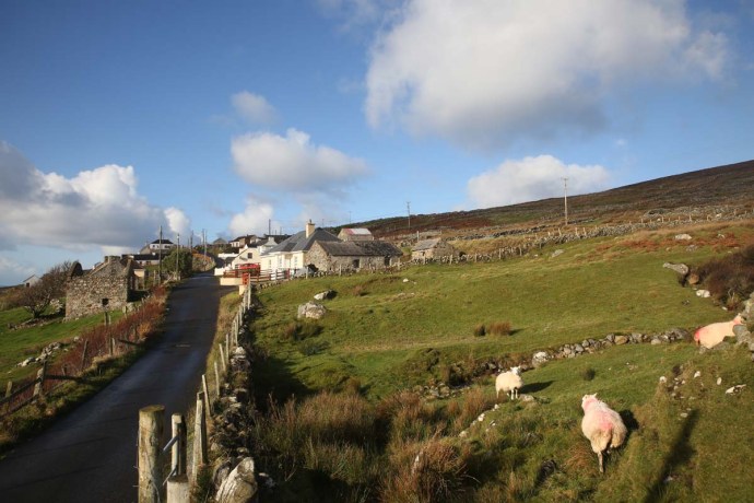
Happy sheep

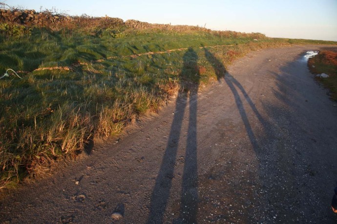
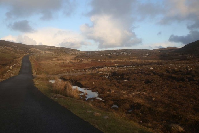
May the road rise to meet you.
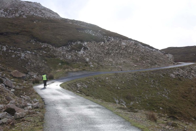
Is this really Ireland?
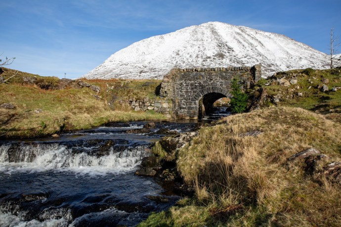
The bridge between ice and water.
Sometimes the view is better when you turn around.

A Connemara winterscape.
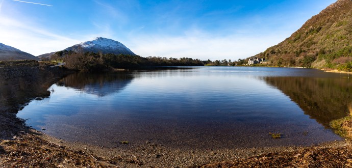
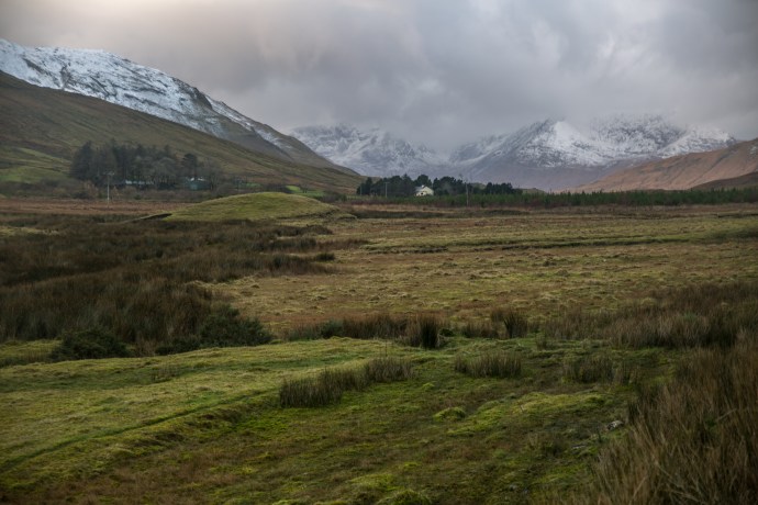
And then there was the beautiful Lough Kylemore and Kylemore Abbey.


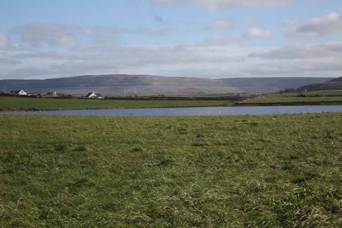
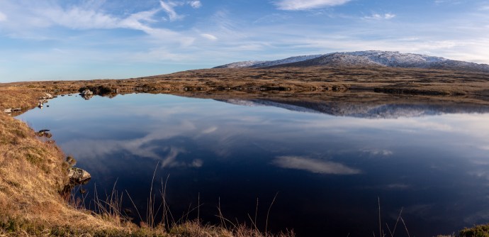
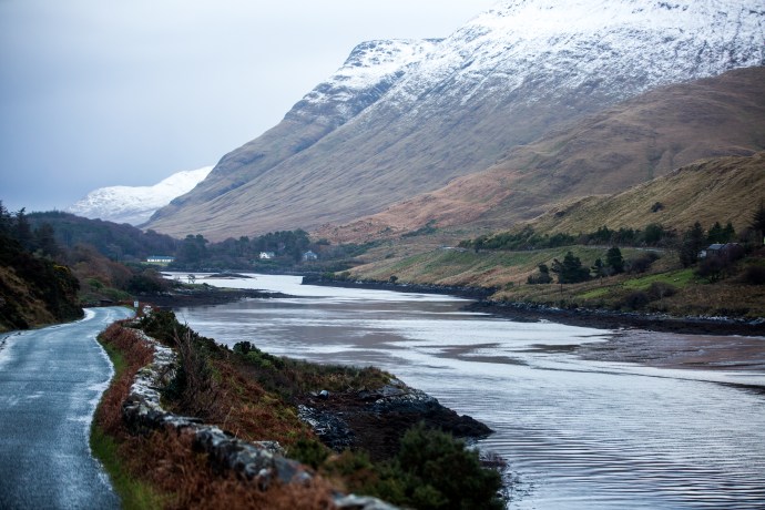
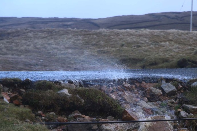
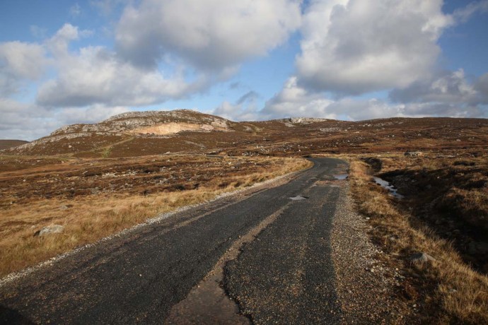
Later that day I headed back east on a little travelled road that takes you across the middle of Connemara from Garroman to Inver. The locals call it ‘The Bog Road’. A tundra-like land of grassy plains, granite tors, lakes and bulrushes, turf cutting and the mighty Twelve Bens Range ever-present to the north. A different beautiful.
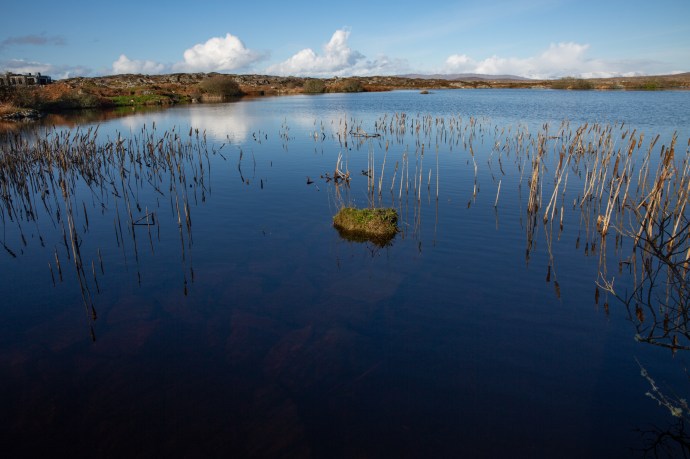
Lough Avally iced over. A reflective scene

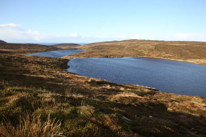
Lough Nacoogarrow near Garroman
The legacy of the turf cutter
Cottage on the Owengowla River.

Lougharnillam and the Owengowla River

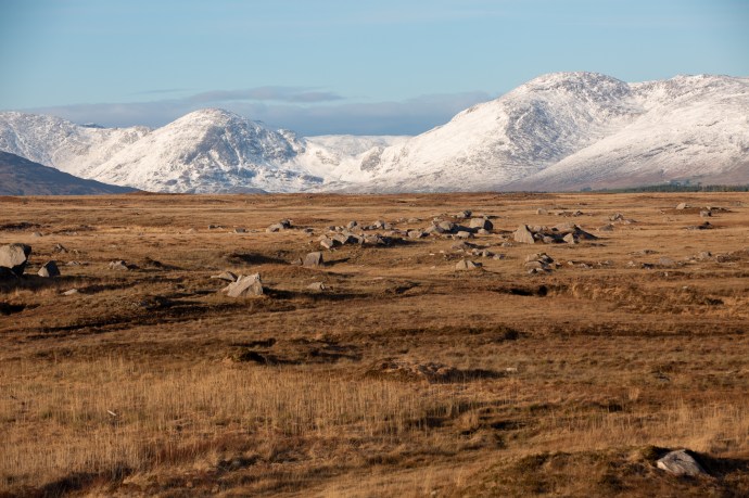
One Twelfth of the Bens
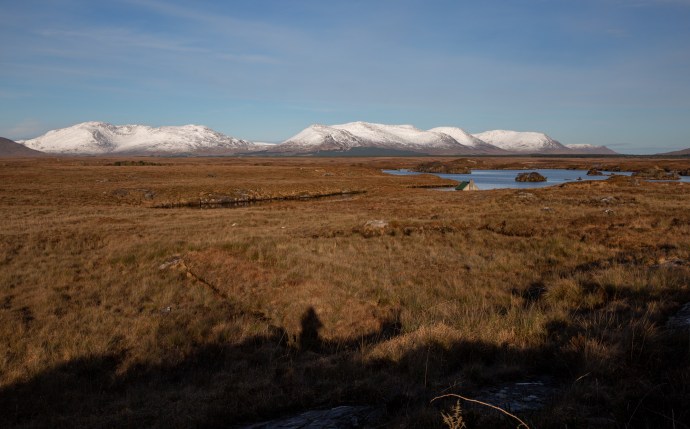
Bog, lake, river and mountain. One of the prettiest views in Ireland?

Another view of Lougharnillam and the Twelve Bens
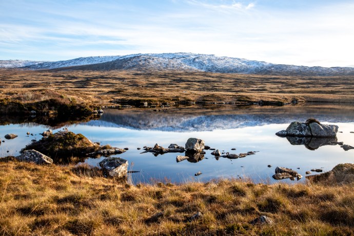
Lough Avally near Derryrush. Walking on thin ice.
Winter colour.
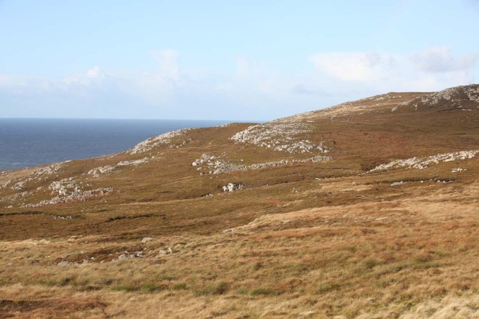
Where the plain meets the mountain
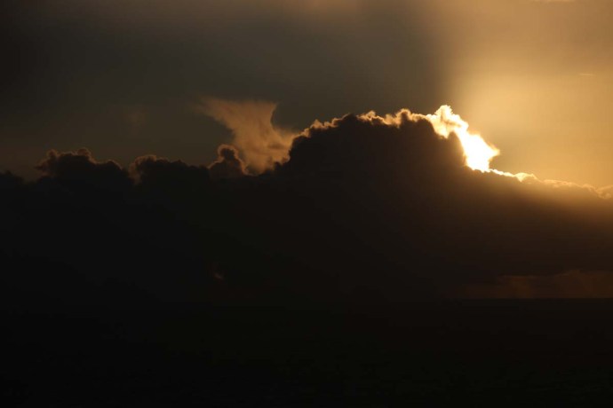
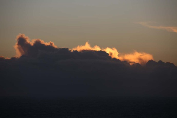
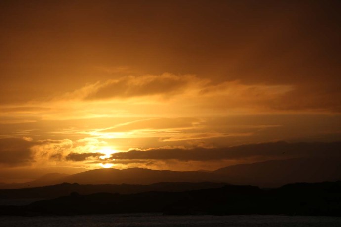
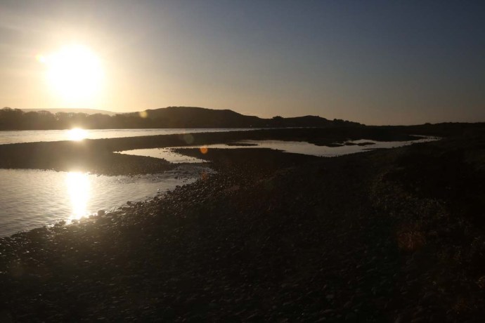
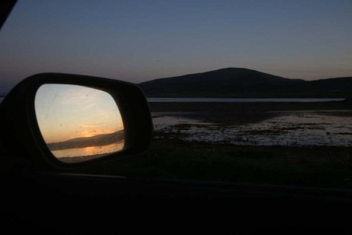
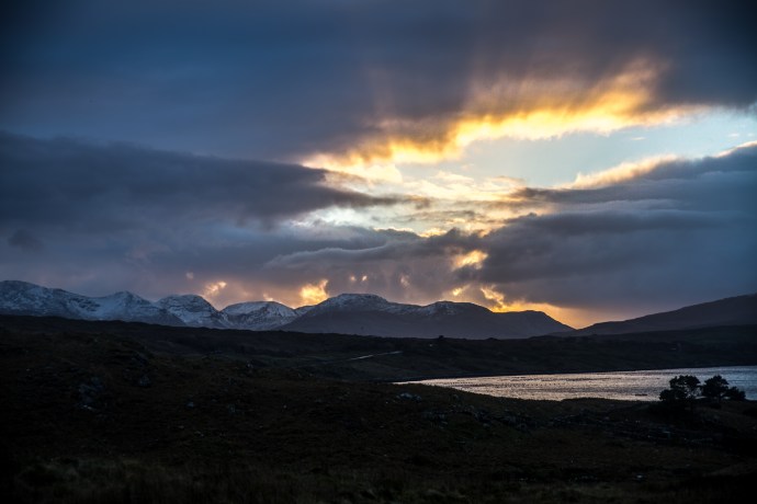
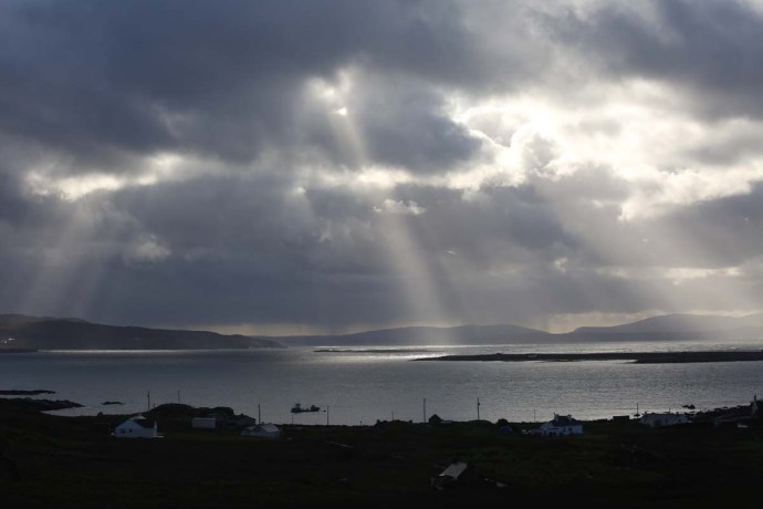
As the end of this extraordinary day approached and I took a little time to reflect at Inver on the southern shore of Connemara and watch the sun light up the clouds and the sea. Beautiful.


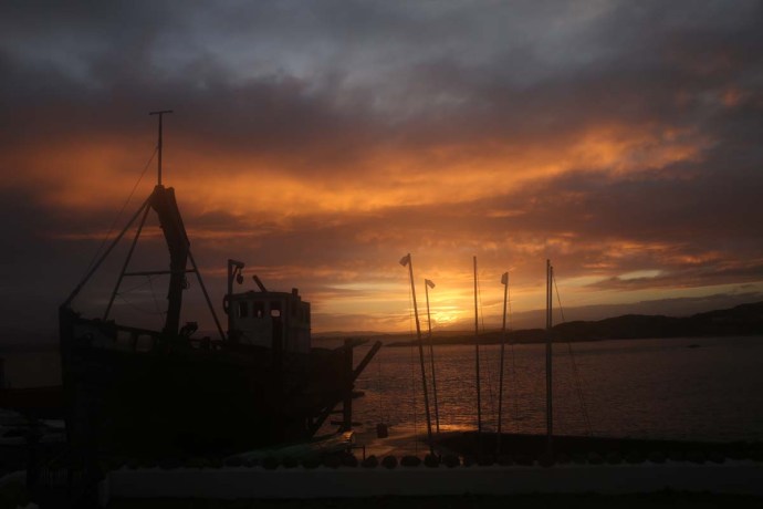
Never far from the music I stayed with some friends at nearby Camus. There is nothing on this planet sweeter than the sound of two fiddles. More beautiful. Thanks Bridge.
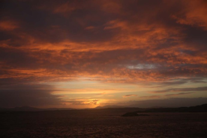
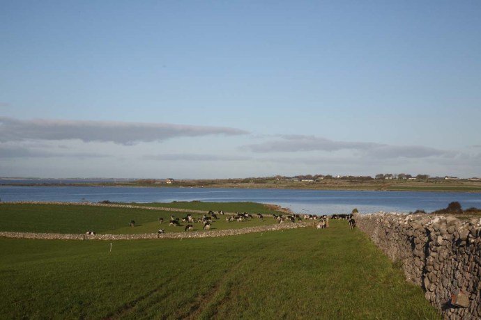
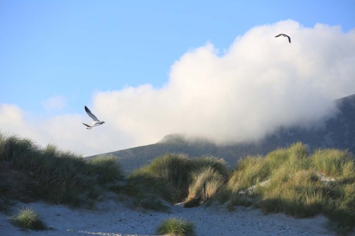
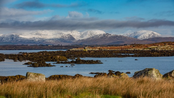
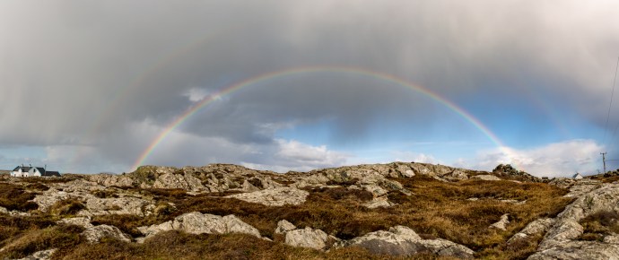
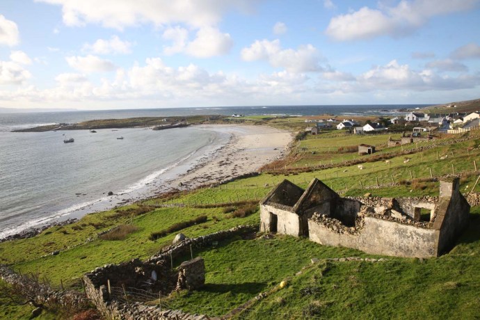
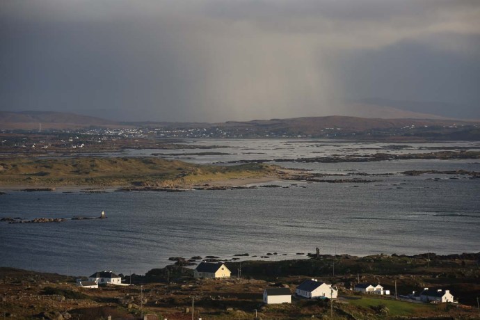
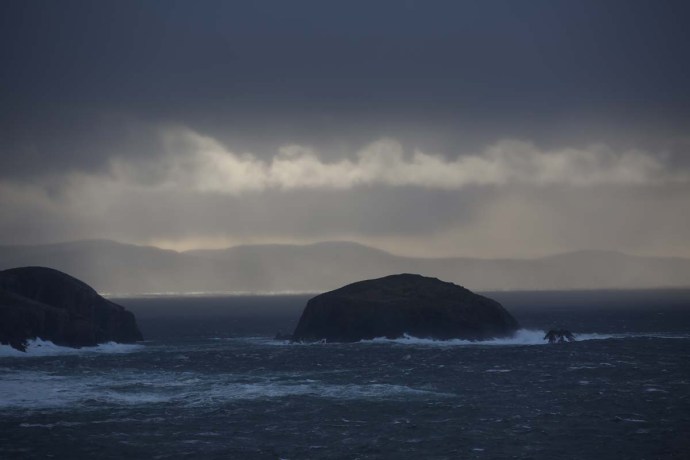
That should have been enough but I was ready for another course of Connemara’s extraordinary visual degustation. Predicted showers saw me resist a return visit to the mountains and, following Bridge’s advice, I headed to the coast for a taste of what she calls the ‘real’ Connemara. With unfamiliar names like Annaghvaan, Lettermore, Gorumna, Lettermullen, Furnace and Crappagh I travelled this string of rugged, unforgiving rocky islands, linked by causeways; so wild it was left out of the Wild Atlantic Way. I just loved it. Met Éireann was spot on though. Storms rolled in from the north bringing snow, sleet and hail and then just as quickly disappeared over Galway Bay. The stunning landscape with its sculpted coastline and quiet inlets, ice covered mirror-blue loughs, stone walls, thick bogs, neat cottages and rocky fields creates a frowzled, disorderly wildness. Framed always by the serenity of the snowy mountains to the north. The interplay of black clouds, dappled sunshine and an extraordinary pallete of rich colours made for vistas that would have defied the painter. Truly beautiful.
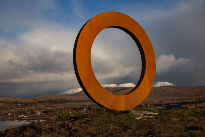
The Ring near Camus

View north from Camus Hill. A storm rolling in

A Connemara scene. The Twelve Bens completely shrouded in black cloud.

One minute before the snow and rain hit.. South of Camus

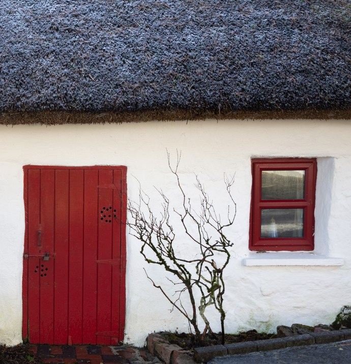
A Connemara cottage under a light dusting of snow

Swans fishing through the ice. Carrowmore West

The storm has passed.
Snow settles on the ice over this lake at Carrowroe West.
Home sweet home. Near Carrowmore West.
Looking across the estuary from Lettermore to Annaghvaan

The estuary at Lettermore
A cottage near The Hooker Bar on Annaghvaan Island

Cottage, walls and a boreen on the island of Furnace.

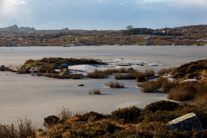
A small iced lake at Derrynea, near Carraroe. Completely frozen over at 3:30 pm still.

Lough Awilla on the island of Gorumna. [sounds like a kingdom in Game of Thrones] The ice is thawing. Twelve Bens in the distance.
Lough Awalia, Gorumna Island. Bulrushes poke throught the ice.

Reflections on the ice. Loch Awalia,. The handful of stones I threw rest on top of the ice.
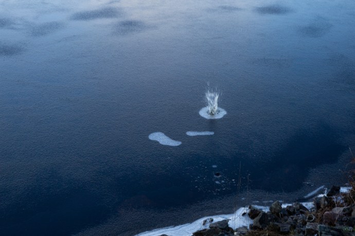
Breaking the ice.
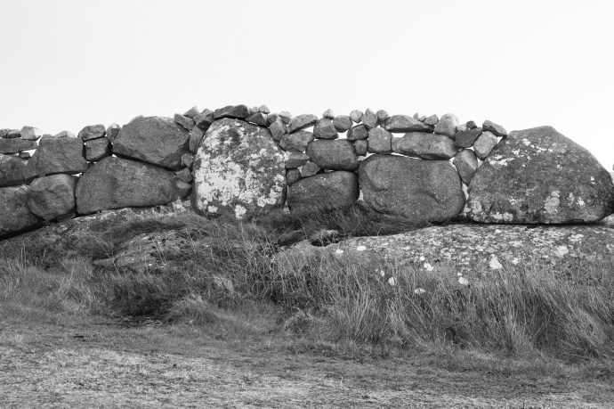
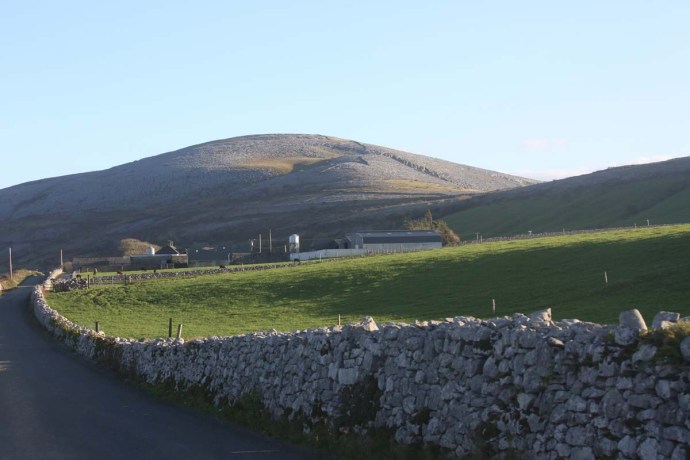
A Connemara granite wall incorporates existing granite boulders.

The island of Lettermullen. Glowing in the afternoon sun

Lettermullen from Crappagh as the rain sweeps by

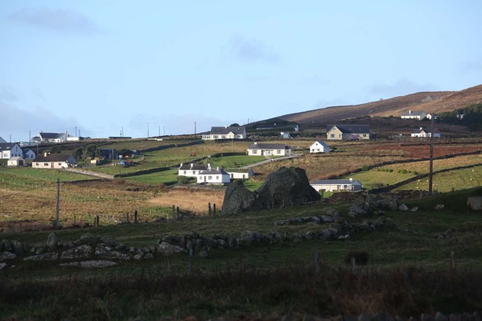
White cottages occupy the hills between the bogs. Lettermullen.

A study in dark and light. Lettermullen.
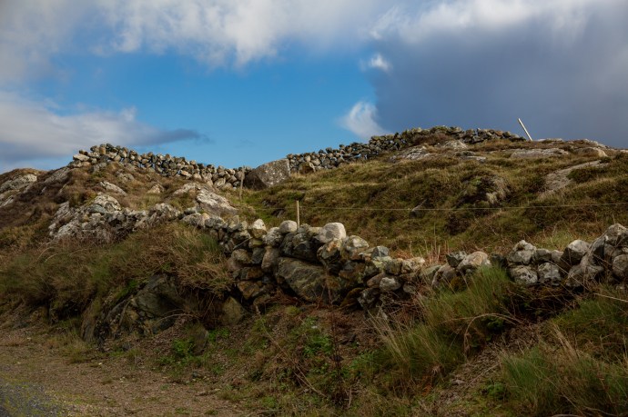
Connemara walls take everything in their stride.
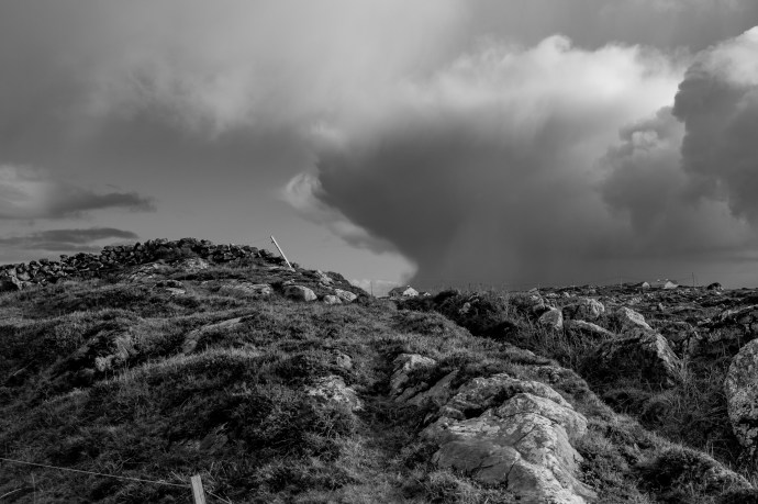
A thundercloud develops over the hills of Connemara
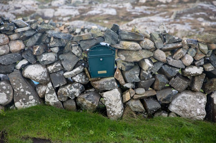
…..and letterboxes.

The prettiest golf course in Ireland? Connemara Isles Golf Club on Annaghvaan Island.

The view from the Third Tee at Connemara Isles Golf Club
As I sorted through my images from those two days, I felt so grateful that I was able to be there, and to experience this release from the endless drabness of the Irish winter. I got more images in those two days than a photographer should reasonably expect in a year.
That’s what I meant by beautiful.


![arranmproc3[1]](https://singersongblog.me/wp-content/uploads/2017/11/arranmproc31.jpg?w=690)