
Many Irish towns are built on a river. This had obvious logistical, transport and strategic benefits and of course is not unique to Ireland. Ennis’ name pays homage to this and derives from Inis Cluana Rámhfhada, an island formed by two forks of the river. That river is the Fergus. It rises west of Corofin and enters the Shannon Estuary after a journey of 60 km.
One dull April day, with spring making a late attempt to burst through, while I waited for my car brakes to be fixed yet again (one of the prices you pay for being shrouded in salt spray on the edge of Ireland), I decided to walk the Fergus River. This proved to be more difficult than I thought.
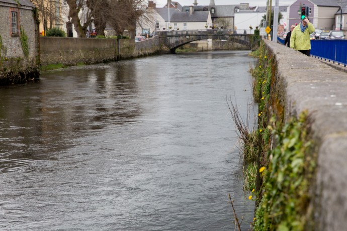
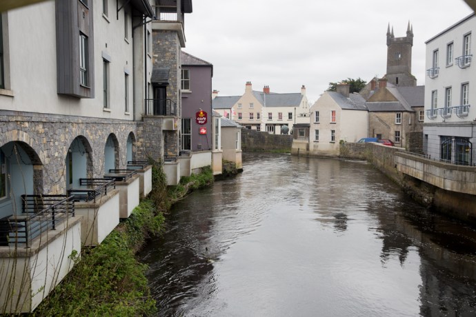
Fergus River looking south to the bridge at Abbey Street
While the river twists its way through the town, for most of its length it is well hidden. It struck me that maybe Ennis doesn’t regard it as something to utilise or promote, just an obstacle to be crossed. Indeed six bridges cross it and the layout of the town is very much controlled by the loops of the river.

Bridge at Bank Place looking west.

Footbridge over River Fergus
Clon Bridge
Victoria Bridge
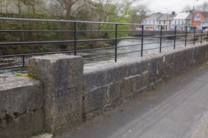
Where you can find it, the banks of the river either have a high stone wall that restricts view and access or are hideously overgrown and littered. Yes I know the river floods but surely space could be found for a park or a bit of open space where you can sit. And if there are seats they are facing the other way or you stare at a wall. You can’t even get to the river at the historic Steele;s Rock.

Steele’s Rock on River Fergus
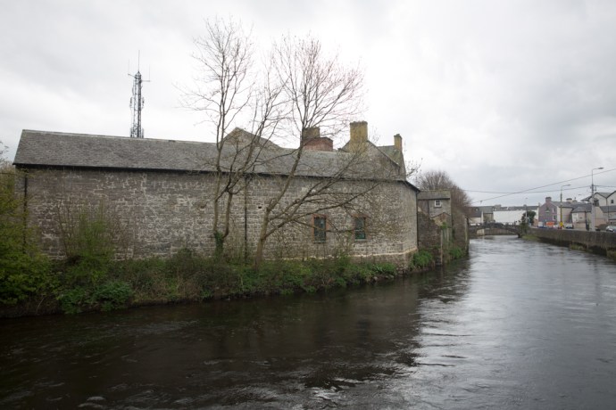
Building on the banks
River edge on New Street
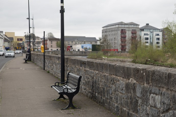
Riverside seating. You need eyes in the back of your head. Converted cornstores in the distance
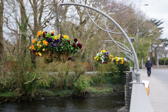
In the town proper only very short bits of the river can be approached. The one exception is the River Walk a part of which is a designated Sculpture Trail. The walk runs from a car park near the town centre (unfortunately much of the river edge is used for car parking) to the Old Mill and then the short distance to Victoria Bridge. There is quite a bit of interest along the way in addition to the sculptures, including apartments converted from old cornstores, sluice gates and the remains of the Old Mill. But it’s all too short.

Sculpture ‘Fishy Tale’ by Carmel Doherty on the Sculpture Trail

Sluice Gates on Fergus.

Sluice Gates. Another view.
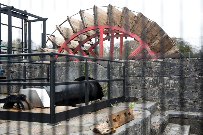
Remains of the Old Mill.
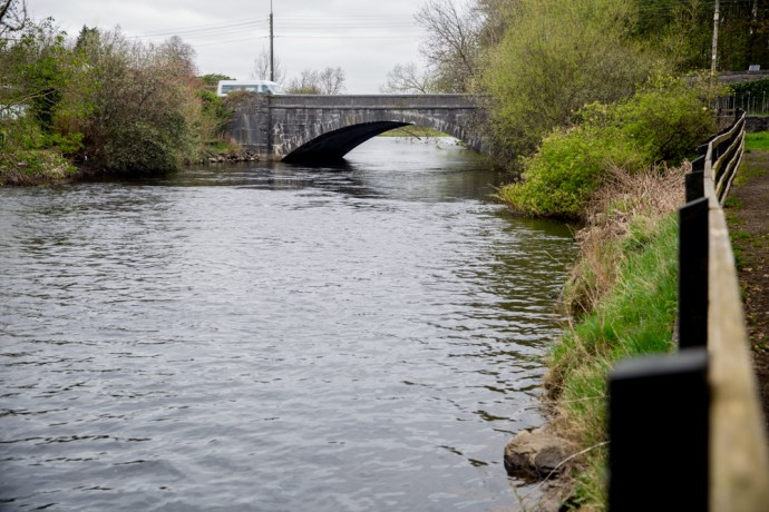
If you try and follow the river the other way (to the east), you soon lose access. It is built up all the way to the Clon Bridge. Beyond this a small walkway runs parallel to a set of rapids but the weed covered banks seem only useful as a repository for abandoned shopping trolleys.
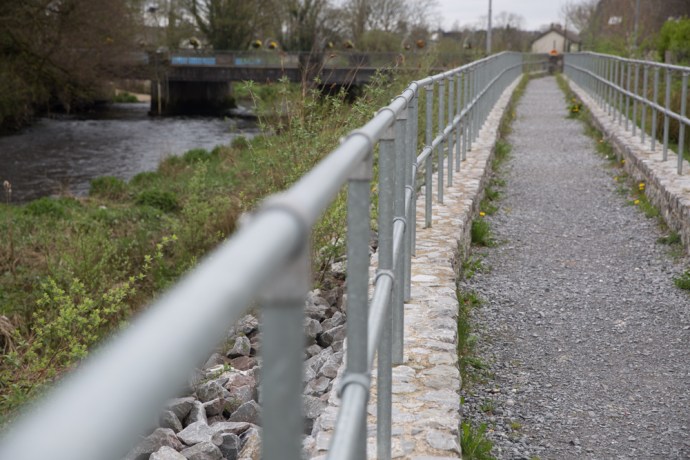
Walkway on the Fergus near Clon Bridge.
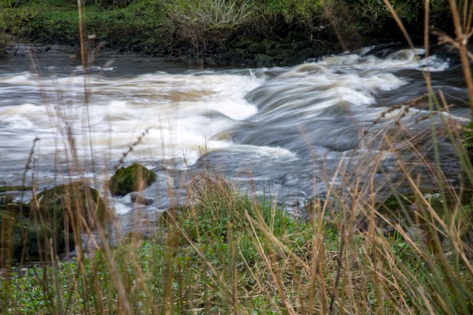
Cascades on the Fergus near Clon Bridge.
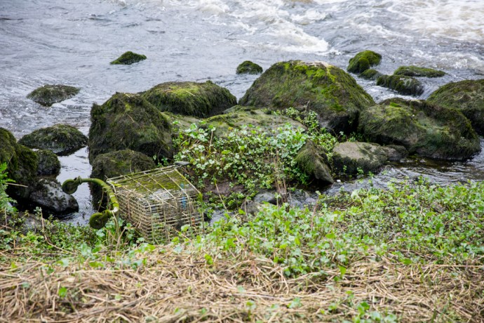
Weeds and lost trolleys
I couldn’t help but notice one large area of apparent wasteland between St Coulmba’s Church and the river. There is direct river frontage, and the geese and ducks seem to be the only inhabitants this time of the year. This would make a perfect Riverside Park. I asked a young traveler lad I met along the path why it wasn’t. “Too boggy” he said dismissively. Maybe; but if there was a will I’m sure it could be overcome.
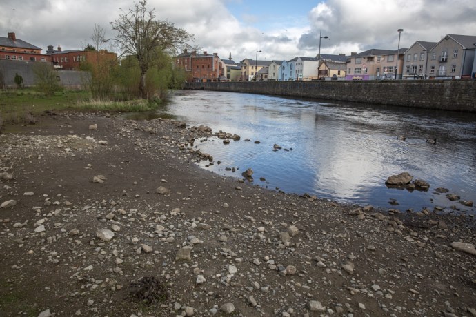
Unfortunately I found only one spot in Ennis, near Clon Bridge, which you could loosely call a park and even it was walled off and paved with gravel. Anyway just saying. It’s what this town needs.

Suitable for a Riverside Park?
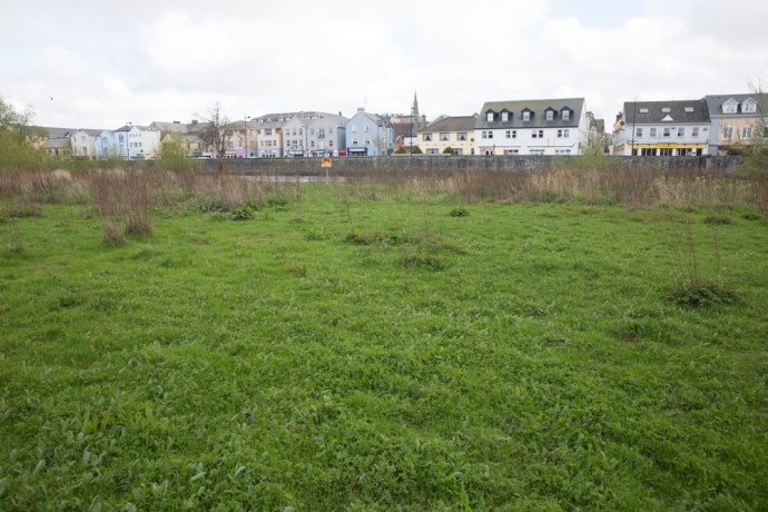
A wide area of open land
with direct access to the river… paddle boats?

and with a beautiful backdrop

Open space on the river edge near Clon Bridge.
Lastly there is hardly anywhere to eat or enjoy a coffee on the river bank except The Rowan Tree which is a wonderful exception and maybe O’Briens Cafe. But again there is a wall. I hear it everywhere though. ‘Ah, yes but what about the weather?’ but, hey, when the sun shines where do you go?
C’mon Ennis. Embrace your river.
The Rowan Tree Cafe. Riverside dining.
