Monthly Archives: September 2018

The Colorado Rockies 3. Independence Pass.

Independence Pass

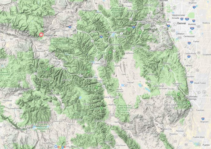
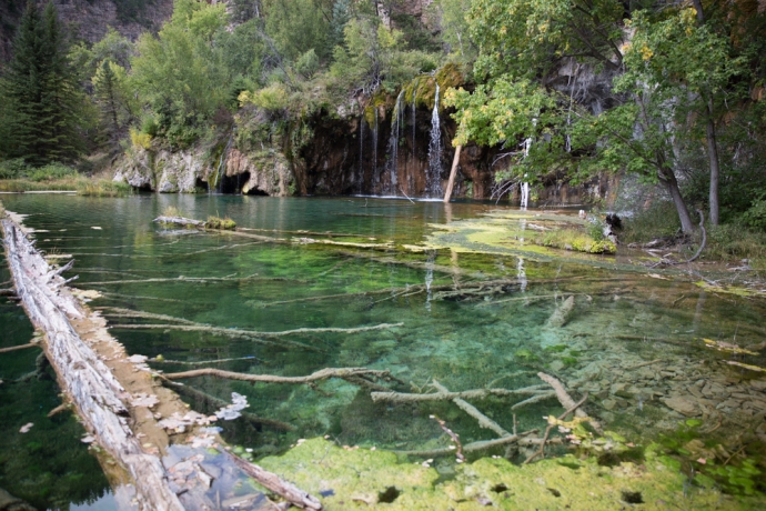
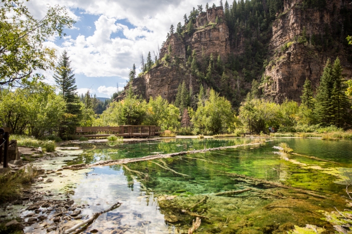
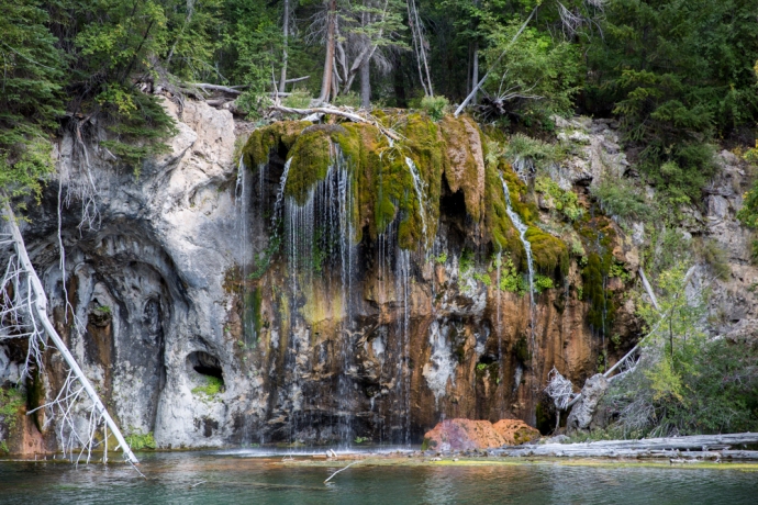
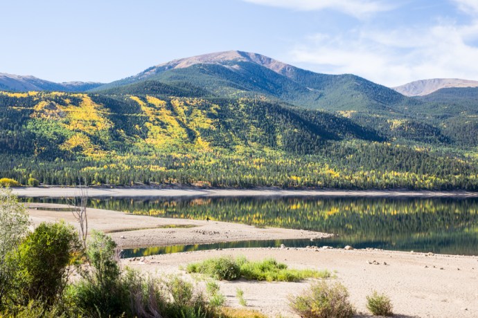
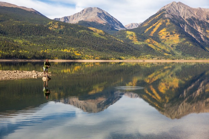
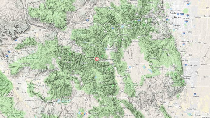
This is the third in a series of blogs on the Colorado Rockies following my visit during September 2018.  In an earlier blog I looked at Twin Lakes.  If you continue driving west from here along Highway 82 towards Aspen you cross the Independence Pass.  That’s where we will go today.

Independence Pass is the highest paved crossing of the Continental Divide in the USA.  The Divide runs like a spine through North and South America from the Beering Straits to the Straits of Magellan and marks the hydrological divide between rivers that drain into the Atlantic to the east and the Pacific to the west.  Independence Pass reaches an elevation of 12,095 feet (3,687m) in the Sawatch Range.  It is closed for much of the year, from October, due to extreme snowfalls.  But this September day, clear blue skies greeted me and not a trace of snow.

IG3C1128

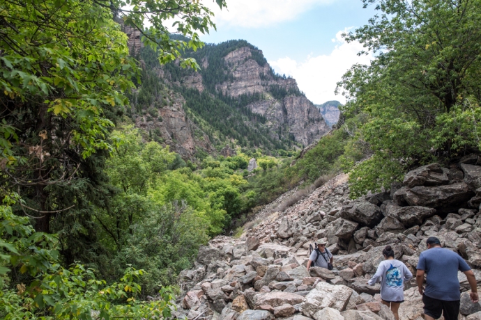
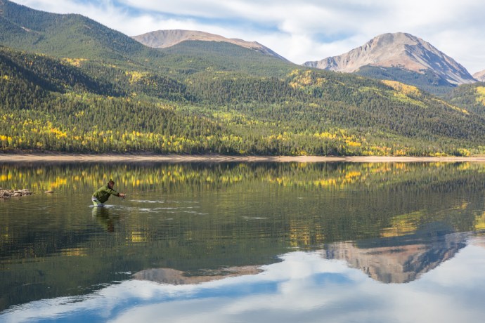
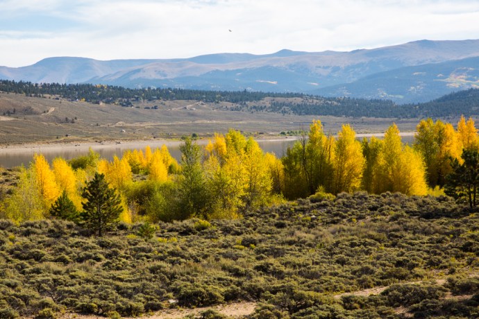
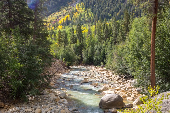
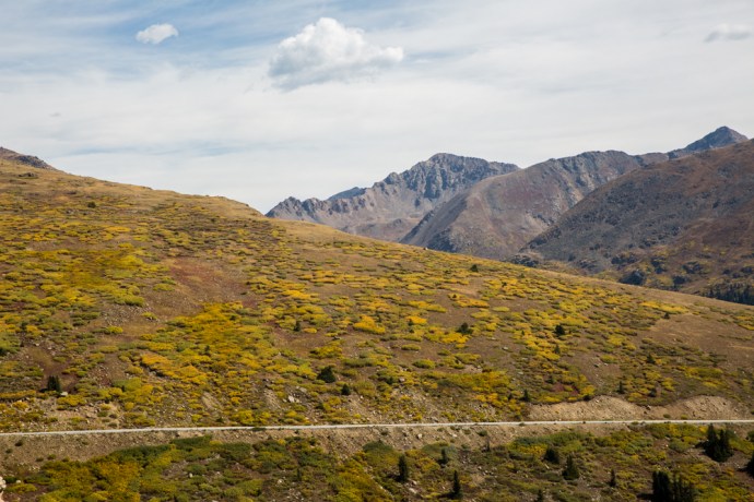
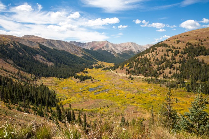
An incredible drive up, switchbacks snake through forests of pine, spruce, fir and aspen and past lakes surrounded by soaring peaks many reaching as high as 14,000 feet (14ers as they call them in Colorado), luckily with a few pull-offs to admire and photograph the views.

IG3C1081

A typical Colorado mountain scene on the way up Independence Pass

IG3C1066

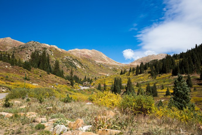
A huge switchback takes you from the valley floor to the top.

Near the top though there is a dramatic change as you enter the treeless alpine tundra environment of open grassland, low shrubbery, bare exposed rock and ephemeral pools.

IG3C1147

Wild landscape at the top of Independence Pass

IG3C1150

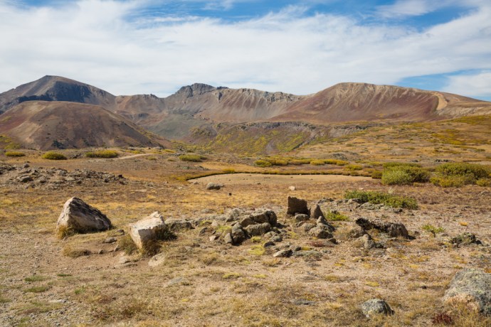
This ephemeral lake has dried up during the summer

IG3C1194

The car park under an ‘exploding hill’ at the top of Independence Pass

IG3C1190

arctic tundra

Everywhere you look you see the results of glacial action, the land being smoothed out during the last ice age about 12,000 years ago.  The rocks of course are much older and comprise gneiss dating back 1,700 million years and younger intrusive granites.

The Pass has an interesting history.  Spotted by Zebulon Pike in 1806, during his mapping of the southern boundary of the Louisiana Purchase, it wasn’t fully surveyed until 1873.  It was the limit of European settlement at the time.  West, the land was reserved for the Ute people and travel was prohibited but prospectors defied this and on July 4th 1879 discovered gold 4 miles from the pass on the Roaring Fork River, at a place which naturally became known as Independence.  Eventually the mountain, lake and pass itself were given that name.  Independence started a massive gold and silver rush and is now a fascinating ghost town.  I will have more to say in an upcoming blog.

The original path over the pass was suitable only for horses but as Independence became a more permanent settlement, in 1881 the pass was improved so that stagecoaches could cross. A toll was charged and this paid for a team of men who shoveled snow through the winter to keep the road open.  They were successful at doing this for five years but on occasions sleighs had to be used. A typical voyage over the pass required 10–25 hours and five changes of horses. A new road was built in 1927 and the current paved road in 1967.  I took a little time to ponder the different obstacles and tribulations that the prospectors of Colorado had to deal with, compared with those in the Australian gold rushes.  all incredibly hardy folk.

From the viewpoint at the top which looks east you can see a number of peaks including from left to right 1 Casco Peak (13,908 ft, which hides the highest mountain in Colorado, Mt Elbert at 14,433 ft),  2 Lackawanna Peak (13,661 ft). 3 Rinker Peak  (13,783 ft), 4 La Plata (14,343 ft), 5 Star Mountain (12,941 ft) and 6 Ouray Peak (12,947 ft).

IG3C1170-Pano2

View looking east from Independence Pass showing major peaks.

An awesome feeling standing at the top of the world.  Imagine the scene before me draped in snow.  I didn’t want to leave, but when I did the view from the western side on the way down towards Aspen was just as good.

IG3C1212

Over the pass and down the western side.  A classic glacial valley.

IG3C1209

Heading back beneath the tree line towards Aspen


Categories: America | Tags: , , , , , , , , , , , , , , , , , , , , , , , , , , , | Leave a comment

The Colorado Rockies 2. Hanging Lake and the Spouting Rock.

Hanging Lake

This is the second of a series of blogs on the Rocky Mountains of Colorado.  I visited for a week in mid September 2018.  This spectacular part of the world comprises rugged mountain ranges that tower over the Mile High City of Denver.  Today I will talk about a difficult-to-get-to gem  in the hills above the Colorado River.

If you drive east from Glenwood Springs along Interstate I-70 towards Denver you pass into the incredible Glenwood Canyon. Twelve miles of precipitous sandstone walls loom beyond 1,000 feet above the Colorado River.  Nestled in these cliffs is Hanging Lake.  A short spur off the Highway takes you to the river where you need to arrive early if you want a park. There is a level concrete bike path that runs along the Colorado River and accesses the trail head, which follows the charmingly named tributary, Dead Horse Creek.

IG3C2535

Concrete path leads to the start of the Hanging Lake trail.

You get a temporary respite with the incredible beauty of the steep hills reflected in the calm river waters but make no mistake, this is the toughest hike I have done in a long long time.

IG3C2614

Calm reflection I

IG3C2578

Calm reflection II

The trail climbs relentlessly for more than 300m over the relatively short distance of 2 km. You traverse rough steps or traipse over boulder covered slopes and scree or over exposed tree roots; you have to carefully place every step to be sure of your foothold. I do not recall any downward sections. Every step is up.  The trail crosses the creek a few times on wooden bridges and you get delightful views of the mountain stream cascading over moss covered rocks and logs.

IG3C2496

Near the head of the Hanging Lake Trail. Picking your way over boulder slopes.

IG3C2006

A mountain stream I

IG3C2450

A mountain stream II

When you think you can’t go on, it gets steeper. The worst is right at the end where giant steps are cut into the rock and you are grateful for the sturdy railing that provides some sort of barrier to the steep drop on your right. But then you are there. The trail guide says to allow one hour. It took me two.

At an elevation of 7,200 feet (2,200m – that’s roughly the height of Mt Kosciusko, Australia’s highest mountain!) you reach Hanging Lake and all that strenuous effort is soon forgotten. Fed by a bridal veil falls, it was created by a fault with its waters dammed by travertine deposits created from the underlying limestone. Only 1.5 acres in area, the crystal clear turquoise, blue and aquamarine coloured waters reflect the verdant growth that drapes the cliffs and over which the water trickles.  Autumn colours and fallen logs enhance and add texture to this exquisite scene.

IG3C2152

Hanging Lake I

IG3C2228

Hanging Lake II

IG3C2249

Hanging Lake.  Bathed in autumn colours.

IG3C2083

Bridal veil falls over brown and white travertine

Travertine is formed from the re-precipitation of dissolved limestone which contributes the carbonates that give the water its unique colours. You can see small trout darting about in this mountain pool. The thin air, the high cliffs and the still waters (and a little exhaustion) create a calm contemplative quietude which infects all that make it here. But nature has one more little surprise.

IG3C2141

Mountain trout and travertine through clear waters

A further short climb takes you to the Spouting Rock. An impressive waterfall feeds the creek above the lake and dramatically spouts from a crack in the face of the cliff. You can easily walk behind the falls into a cave eroded into the limestone. Many miss this little gem and walk right on past the turn off.

IG3C2346

Spouting Rock I

Spouting Rock I

IG3C2389

Spouting Rock II

Time to return down the same path. Any thought that the homeward journey would be easier soon dissipates. The descent is treacherous. A wooden pole, thoughtfully left by a previous hiker was an essential aid in negotiating the rocky stretches. I took my time. Another two hours before I was at the bottom. Plenty of time to chat with and provide sage advice and support to the many climbers who pass you on their way up.

Well that’s Hanging Lake. For me it was Hang-in-there Lake. So glad I did.

Categories: America | Tags: , , , , , , , , , , , , , , , , , , , , , | Leave a comment

The Colorado Rockies 1. Twin Lakes. A Classic Photo Opportunity.

Twin Lakes

This is the first of a series of blogs on the Rocky Mountains of Colorado.  I visited for a week in mid September 2018.  This spectacular part of the world comprises rugged mountain ranges that tower over the Mile High City of Denver.  There is much to see.  It is a photographer’s paradise.  My early plans had me on an extensive road trip that would take me to the four corners but I soon realised how impractical that was, so my travels on this occasion concentrated on the area west of Denver to Glenwood Springs, south to Cañon City and north to Estes Park.  First up is my visit to the iconic Twin Lakes.

I had read about this location and its reputation for getting those classic Colorado photos if conditions are favourable. It is a half hour drive from Leadville in the Central Rockies  and on the way up the Independence Pass, which I’ll talk about in an upcoming blog. It is a well known fishing, camping and hiking spot and there are, as the name suggests, two lakes are connected by a channel. If there is no wind and the sun is shining, the location provides countless photographic opportunities for symmetrical reflection of the distant mountains in the still waters of the lake. Luckily, such were the conditions on the day I visited. And to top it off I had blue skies and autumn colours and a cooperative fisherman in the mix.  Here are a few of my favourites,

Quintessential Colorado.

IG3C0913IG3C0946IG3C0964IG3C0966IG3C0978

IG3C0895

Fall colors.  Twin Lakes

IG3C1052

A mountain stream that flows into Twin Lakes

Categories: America | Tags: , , , , , , , , , , , , , , | 1 Comment

Blog at WordPress.com.