What an extraordinary event.
Gotta say I’m not used to snow. Not used to the feeling of flakes on your face or the biting wind or the stunning beauty when the sun comes out. Or the slushy wetness that soaks through your boots and trousers and gets tramped through the house. Or digging the snow from your front door. Or being stuck in your house. Or the vicissitudes of stupidly taking a remote boreen just as a snow shower starts. I’ll come back to that last one later.
The snow came from that annoyingly named freak weather condition known as ‘The Beast from the East’ which blasted frigid air across continental Europe and over Ireland. It arrived in West Clare on a Wednesday, the last day of February 2018. But it turned out that that was just an entree to a full three course meal which came Thursday and Friday and continued to Sunday.
But first this ‘Beast’. Where did it come from? And why was it so devastating? As a geologist I make a pretty poor meteorologist but those that do know about these things said the whole thing was triggered by a periodic event called “sudden stratospheric warming”. This involved a huge rise in air temperature of around 50ºC in an area about 30 km above the Arctic (the stratosphere). The origin of this actually goes back to severe cyclones in January in the Pacific disturbing global weather patterns. A true ripple effect. Anyway, this warming weakened the jet stream and forced cold air from western Russia towards Ireland. Temperatures on the ground in the Arctic were 20ºC above normal, while Europe experienced lows of -15ºC in many places. And then to complicate it there was Storm Emma which headed north from Portugal. When it hit the cold air, blizzards, gales and snow were the result.
Where I could, I tried to record the event with my camera and words. Here is a personal account of how it all unfolded around my little part of West Clare.
Wednesday 28th February 2018
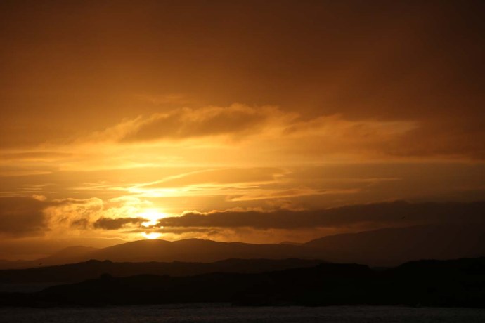
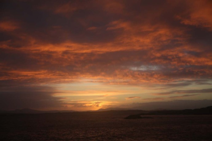
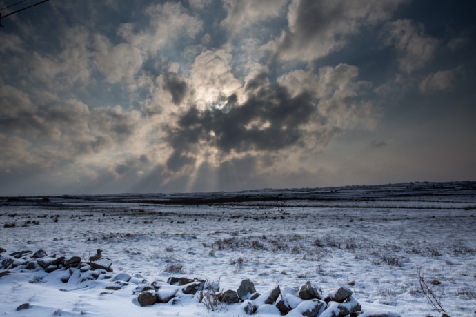
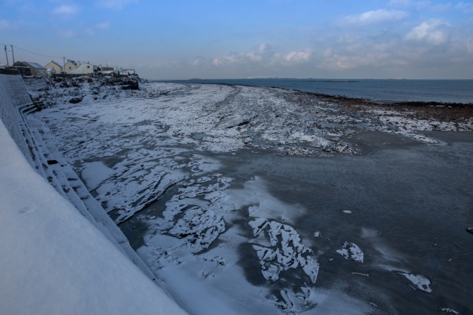
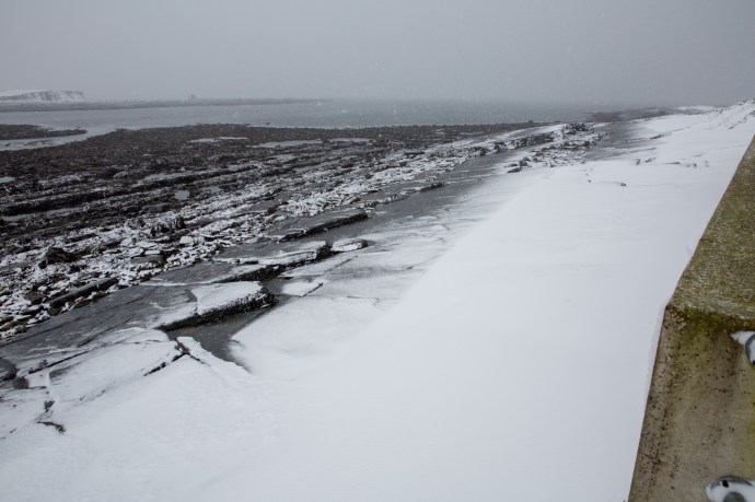
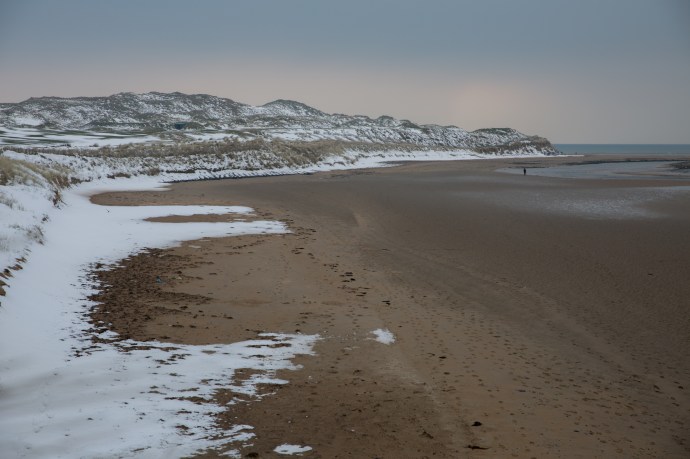
We knew it was coming. Temperatures had been way below normal for days and the web was alive with warnings. Yet I had no idea exactly what was in store. Just two weeks earlier I was chasing all over Ireland to Louth and Armagh and Kerry and Wicklow and Connemara because of snowfalls there. Now it was here in my front yard. It was snowing when I awoke and it continued to snow. I was excited enough to venture out around 9am. The snow wasn’t heavy; just a few centimetres so I figured there would be no real problems except that is that the weather accompanying this snow was truly living up to the appellation that is the ‘Wild Atlantic Way’. I headed to Spanish Point Beach, braving snow showers and bitter wind. I’ve seen this beach battered with giant waves, covered in froth and foam and perfectly still with nary a ripple. Never though with white snow meeting the yellow sand. It was not comfortable as mini blizzards would sweep in between the sunshine. Nevertheless I was totally entranced and happy. The showers faded during the day and though the temperature hardly went above zero, the snow melted by the late afternoon and the streets of Miltown Malbay returned to relative normality. This turned out to be a temporary reprieve.
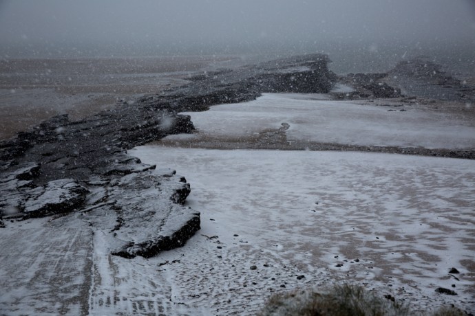
Snowstorm on Spanish Point Beach. Wednesday 28 February 2018

Spanish Point Beach, Wednesday 28 February 2018

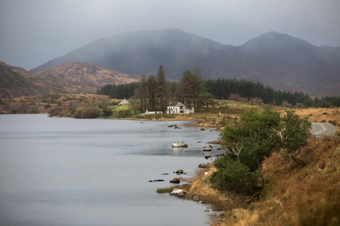
Bell Bridge House Hotel. Wednesday 28 February 2018
Mouth of the Anagh River. Looking across to Caherush. Wednesday 28 February 2018

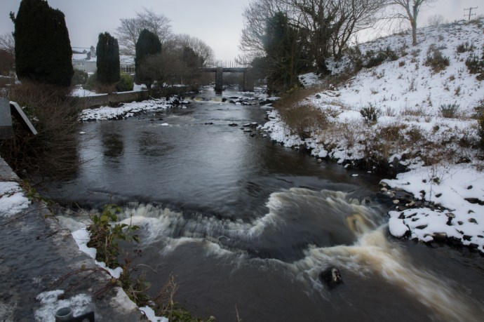
Bridge over the Anagh River. Wednesday 28 February 2018
Spanish Point Beach. The sun shone briefly. Wednesday 28 February 2018

Spanish Point Beach. Looking from the Armada Hotel. Wednesday 28 February 2018

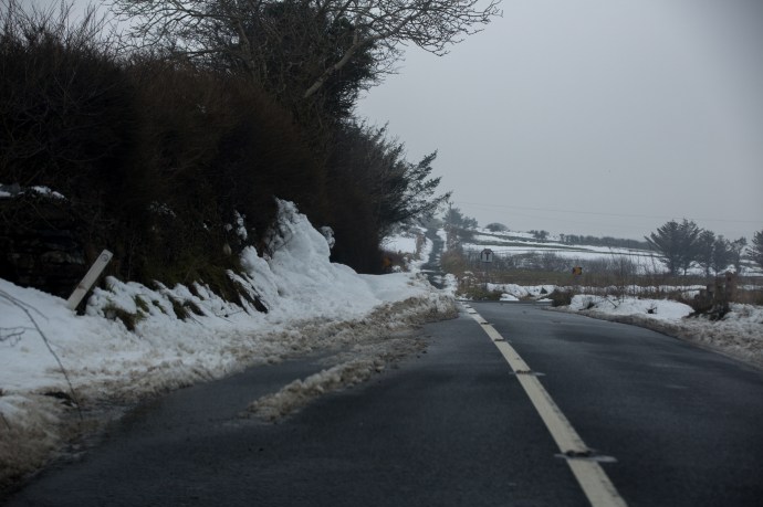
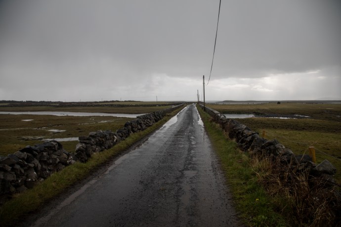
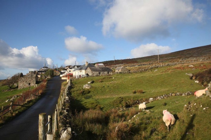
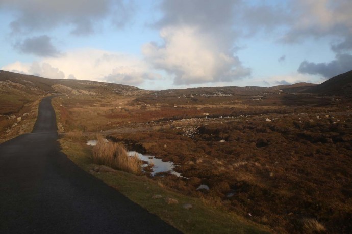
The Clogher Road. Looking towards my cottage. Wednesday 28 February 2018

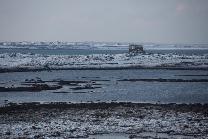
Caherush. Low tide. Wednesday 28 February 2018
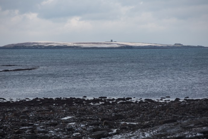
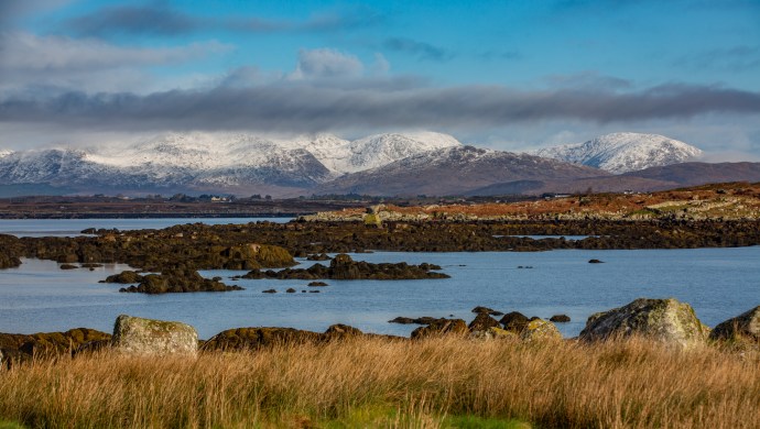
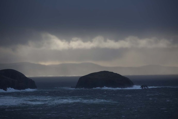
Mutton Island. Wednesday 28 February 2018
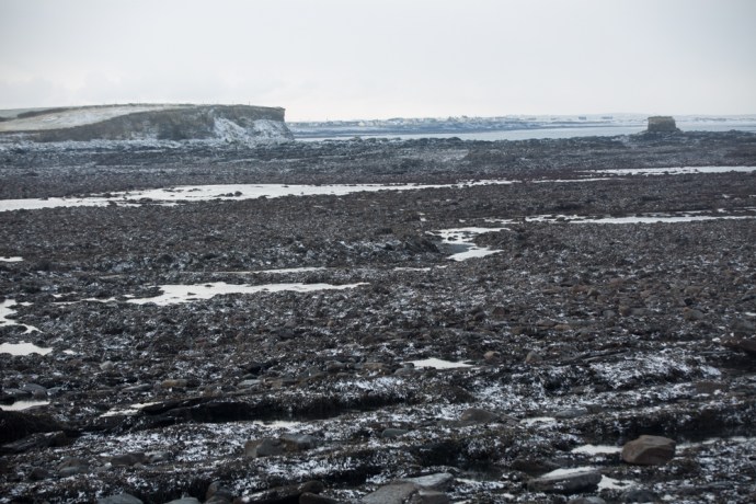
Caherush looking towards Quilty. Wednesday 28 February 2018
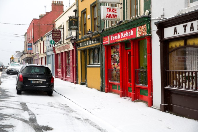
Miltown Malbay Wednesday 28 February 2018
Miltown Malbay. Wednesday 28 February 2018
Thursday 1st March 2018
I woke up reluctantly poking my head above the sheets with the temperature hovering at -4ºC. A quick look out the window showed a complete white-out. It was a stunning sight. I love how you don’t know it’s happened during the night. So quiet unlike a rain storm pelting on the slate roof and rattling the windows.
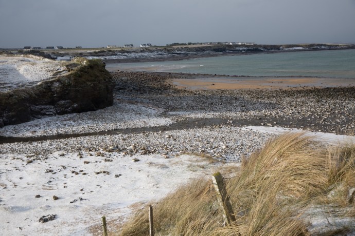
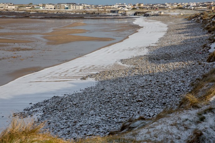
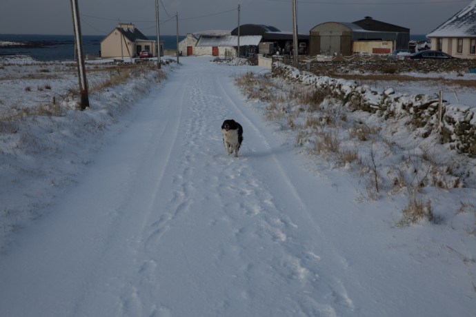
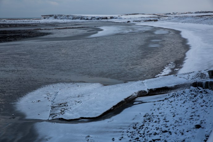
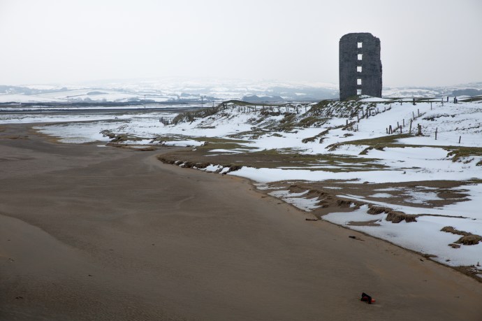
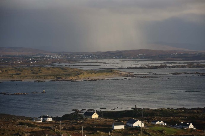
The rocks and cliffs of the bay at Caherush were covered with a thick white carpet and it was still snowing with some vigour. Around 9am it brightened and it stopped snowing. I rugged up and took a walk up the Clogher Road. I was joined by the neighbour’s dog, Valdo. Briefly. This was much too exciting; he had better things to do and left me to my meandering. The sun broke through the clouds and its rays made the hills gleam. My neighbour Michael Talty, stopped his car for a chat. He was heading to Kilrush for some tractor parts. A farmer doesn’t stop for a bit of snow. So of course I didn’t refuse the invitation to join him. I think he quickly regretted it as I had him stop at Quilty where the snow, the water and the sand united to create a magic world. Mutton Island sat like an iceberg off the coast. I had to photograph them.
As we left Quilty and headed south, there was only a light dusting over the fields. This part of West Clare had escaped the heavy falls that we had experienced. Business done, followed by an hearty breakfast in Kilrush we headed back north to Caherush.
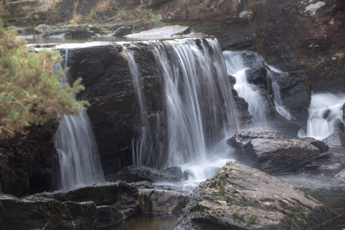
We were passing O’Looney’s lovely pub just a few kilometres from Quilty at Molosky. Stop! I exclaimed as I caught a sight, out of the corner of my eye, of the falls at the Annageerah River. They were frozen! Michael waited patiently as I clambered over a gate and headed across a slushy snowy field to photograph the incredible sight of ice sheets draping the rocks and icicles clinging to wherever they could; where normally water flows. So lucky to see it.
Back home to the Clogher Road which by now was starting to thaw. It was 2 pm and still -1ºC. The temperature never got to zero during the whole day
Encouraged by the condition of the roads on our journey, I cleared the snow from the car and headed north through Spanish Point along the coast towards Lahinch. The air was clean and crisp and the sun was making a good fist of doing its daily job but the thick cloud resisted. Nevertheless the bucolic landscape had become a patchwork of white fields and the coastline was now the White Cliffs of Clare. The views coming into Lahinch were unfamiliar but truly jaw-droppng. Though thick here across Liscannor Bay the fields were green. The snowfalls were obviously quite patchy.
I continued to Ennistymon. I wanted to see the Falls here. Would they be frozen? Well no they weren’t and they were quite subdued, as we hadn’t had a lot of rain for a week or so but they were framed with snow on every exposed rock with icicles hanging from branches and protected crags. The Falls Hotel looked like an alpine resort
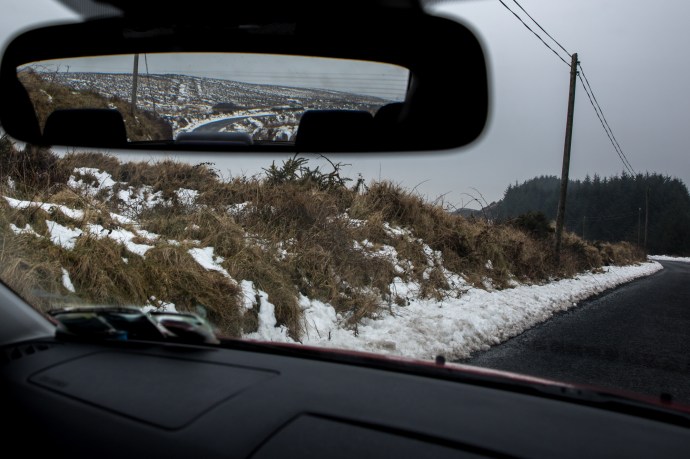
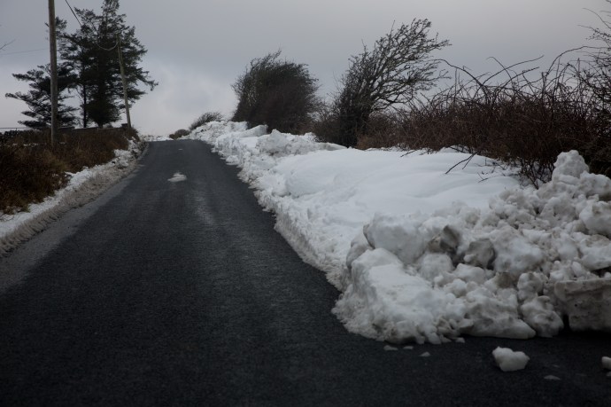
A few flurries of snow were appearing now. I love that word ‘flurries’. Not one you get to use very often. Time to head home. Why didn’t I just stick to the main road? It had been treated with salt and grit and was perfectly clear. I was lulled I think into a false sense of safety. So with the help of Google, I took a back route to Miltown Malbay, it wasn’t long before I got into serious trouble. It was only a small hill. A narrow single lane boreen. With a hedge on the left and a ditch on the right. I knew I had to use a high gear and travel at a decent clip but I lost traction very quickly and found myself half way up the hill and going nowhere. Under the snow was a layer of ice. With wheels spinning I couldn’t go forward. With no brakes, reversing was pretty scary. I honestly don’t know how I got out of that. Reversing back down the hill and using the gears to slow down, the wheels went wherever they wanted. One minute I slid into the hedge. Straightening up then I would head towards the ditch. It was probably only 200m of reversing first down the hill then back up another but it took forever until I came to a farm gate. The drama still wasn’t over as it took many goes slipping and sliding all over before I edged the nose of the car into that refuge and was able to turn around and drive home. To my warm fire and a few relieving tunes and a glass of the small.
That was some day but the wires (as we used to call it before the wireless world took over) were full of dire warnings of another storm. Emma was arriving and would collide with the Beast and batter us with wind and massive snowfalls. Code Red all over the country. Bread and milk had disappeared from the shops. This really was serious.

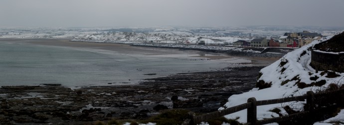
Panoramic view of Caherush bay. Thursday 1 March 2018

Caherush Bay at low tide in the snow. Thursday 1 March 2018

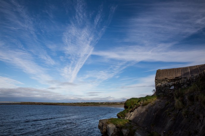
My cottage on the shore. Thursday 1 March 2018

More snow. Thursday 1 March 2018

Caherush Bay Thursday 1 March 2018
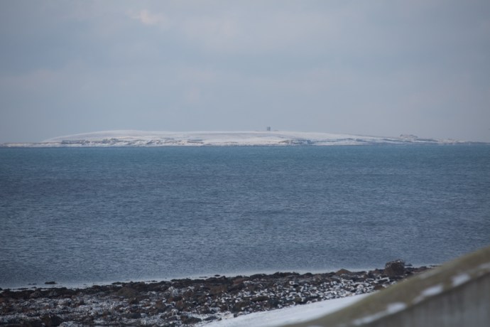
Mutton Island. Thursday 1 March 2018
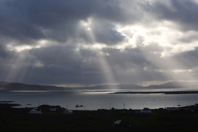
Sugar Island and Quilty. Thursday 1 March 2018
The sun breaks through. Thursday 1 March 2018
Joined on my walk by Valdo. Thursday 1 March 2018

Joy. Thursday 1 March 2018
Looking down the Clogher Road. Thursday 1 March 2018

Driving into Quilty. Thursday 1 March 2018
The Quilty Shore I. Thursday 1 March 2018
The Quilty Shore II. Thursday 1 March 2018

Quilty Shore III. With Mutton Island in the distance. Thursday 1 March 2018

Breakfast at Kilrush. Thursday 1 March 2018
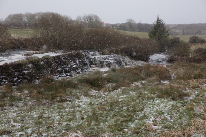
The snow falls again at Annagreenagh Falls, near Quilty. Thursday 1 March 2018
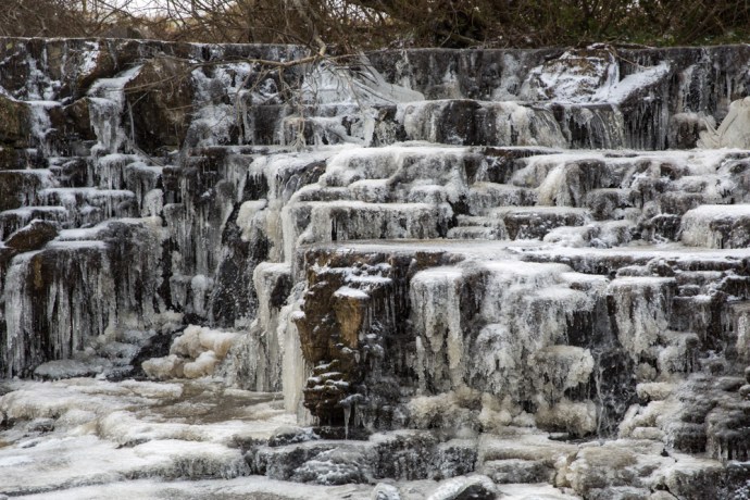
Annageeragh Falls. Thursday 1 March 2018
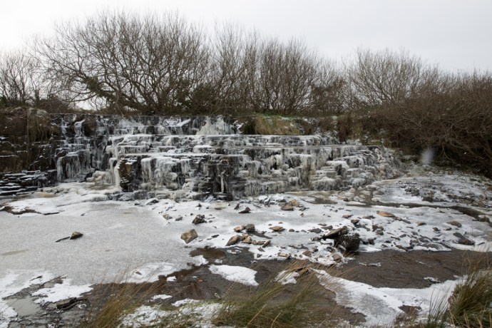
Annageerah Falls. Thursday 1 March 2018

View towards Cliffs of Moher from Spanish Point. Thursday 1 March 2018
Near Spanish Point. Thursday 1 March 2018
Near Lahinch. Thursday 1 March 2018

Lahinch. Thursday 1 March 2018
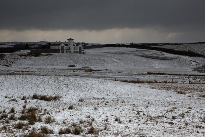
Moy House. Lahinch, Thursday 1 March 2018

Cliffs south of Lahinch. Thursday 1 March 2018
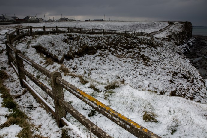
Fenceline and cliffs. Lahinch. Thursday 1 March 2018

Lahinch. Thursday 1 March 2018

The Falls at Ennistymon. Thursday 1 March 2018

Falls at Ennistymon.Thursday 1 March 2018

Looking towards the Falls Hotel on the Inagh River at Ennstymon.Thursday 1 March 2018

Icicles I . Ennistymon. Thursday 1 March 2018

Icicles II. Ennistymon. Thursday 1 March 2018

Icicles III. Ennistymon.Thursday 1 March 2018

Icicles IV. Ennistymon.Thursday 1 March 2018

Icicles V. Ready to drop.Thursday 1 March 2018
Frozen grass on the menu today. Lahinch. Thursday 1 March 2018
Friday. 2nd March 2018
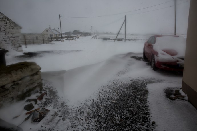
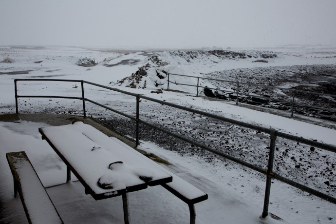
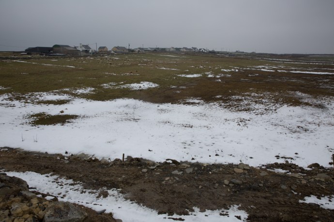
It would reek havoc they said. And they were right about that! Friday morning saw a thick cover of snow over everything with drifts up to a metre. We, in Clare though, seemed to get off rather lightly. The east and the south of the country were lashed with ferocious snowstorms. Back here in Clare, snow piled up against my door, just like in those movies set in countries where they have real winters. It was obvious I was going nowhere today, so I settled in with a warm fire to wait it out. Even if I wanted drive anywhere the Clogher Road was not going to cooperate. It continued to snow all day. I ventured out in the late afternoon as the snow eased. The tide had come in and the ocean was tranquil with the bay in front of my house looking surreal with its brilliant white ‘beach’ all the way down to the high tide mark. The car remained in a drift and I went nowhere. No thoughts of a session and in any case most pubs were shut. Marooned. Like millions of others across the Once Green Isle. Who knows how much fell? I heard a figure of 40cm but I would say much more in some places. At least it had stopped.

My cottage. Marooned. Friday 2 March 2018

Going nowhere. Friday 2 March 2018
The Clogher Road. Friday 2 March 2018

Caherush Bay at high tide. A surreal calmness. Friday 2 March 2018
My front patio. Friday 2 March 2018
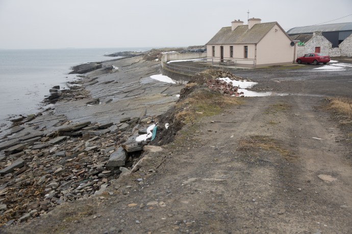
The ‘beach’ at Caherush. At my front door. Low Tide.Friday 2 March 2018

Caherush. Friday 2 March 2018

The ‘beach’ at Caherush. At my front door. High Tide. Friday 2 March 2018

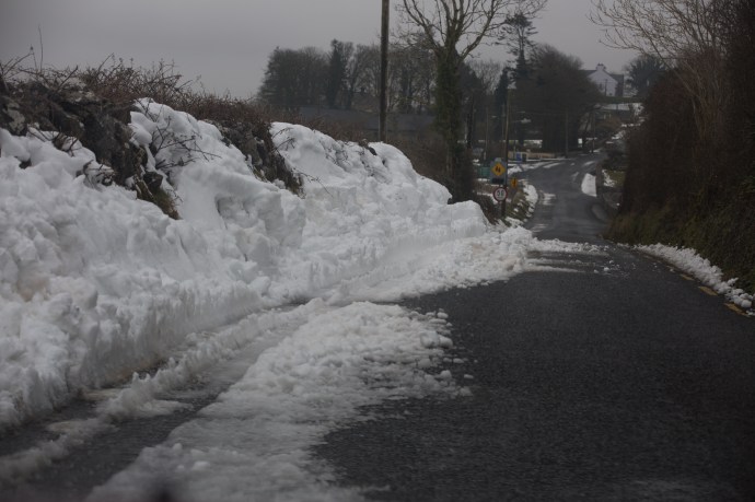
The Clogher Road. Friday 2 March 2018
Saturday. 3rd March 2018
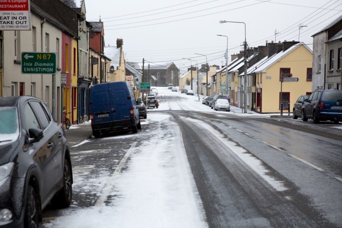
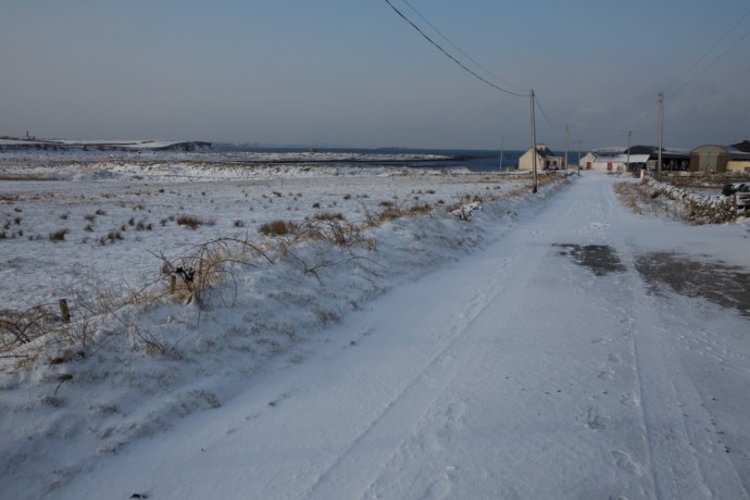
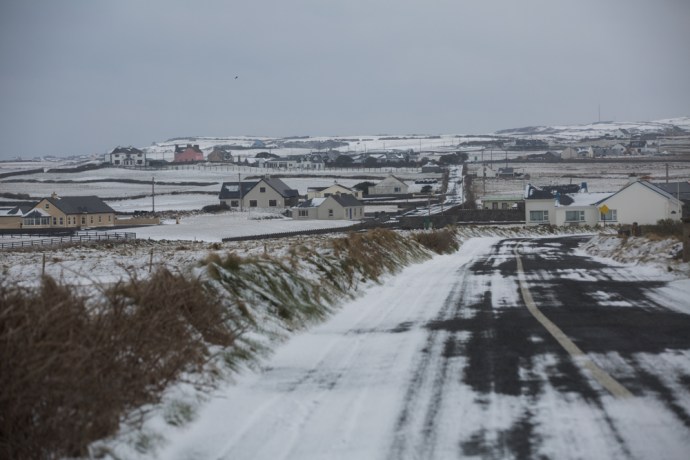
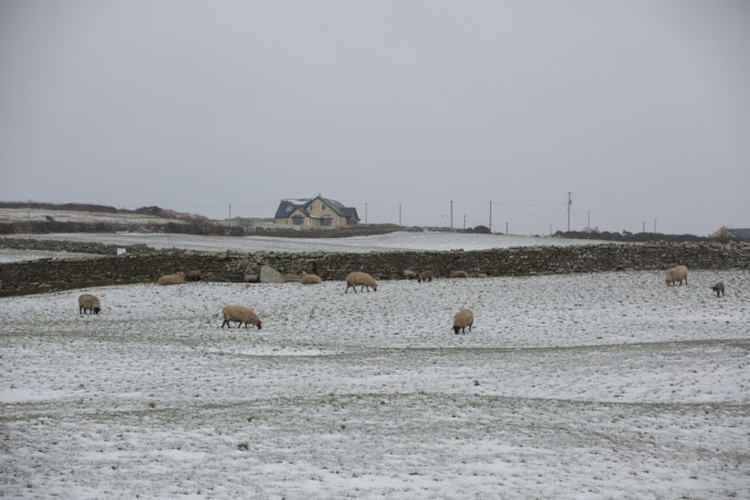
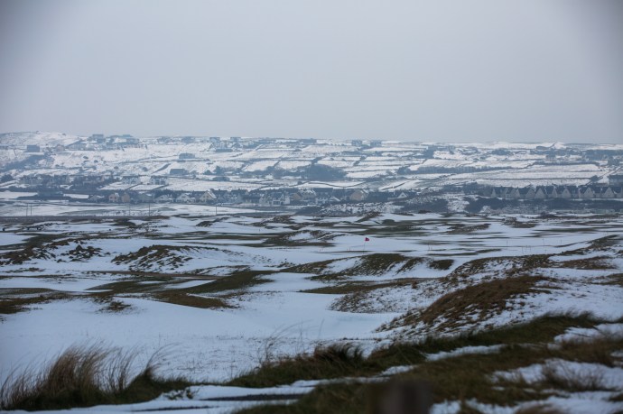
More snow overnight but by the morning all was quiet. Temperatures were up now with a maximum of 2ºC for the day. A veritable heat wave. I was still going nowhere. The predicted rain didn’t arrive but by the afternoon I decided the snow on the roads had started to melt sufficiently to venture out again. Roads had a lot of snow in massive drifts, sometimes two metres high, and in many places were down to one lane. Those roads that were treated were passable but venture off the main roads at your peril. I’d learnt my lesson. Most residents who live up narrow lanes were were still stuck. My route again took me to Lahinch and Ennistymon. The snow was still thick and extensive but the melt had started. Lahinch golf course was more whites than greens and it was easy to become blaze about the stunning beauty all around. Snow was still everywhere in Ennistymon, Lahinch and Miltown but the ploughs had been through and it was now more of a hazard to pedestrians. Businesses were starting to reopen. Life goes on.

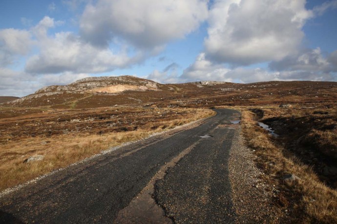
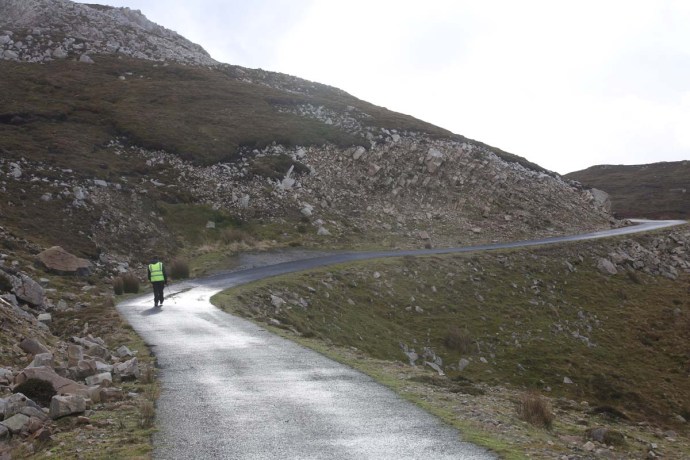
The Clogher Road is now passable. Saturday 3rd March, 2018

Welcome to Quilty Holiday Cottages. Saturday 3rd March, 2018

The Bell Bridge Hotel and beyond. Spanish Point. Saturday 3rd March, 2018

Caherush. Saturday 3rd March, 2018

Behind the Strand. Clogher Road. Saturday 3rd March, 2018
Panoramic view of Surf City Lahinch. Saturday 3rd March, 2018

Ennistymon. Saturday 3rd March, 2018
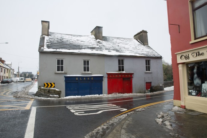
Blake’s Corner. Ennistymon. Saturday 3rd March, 2018
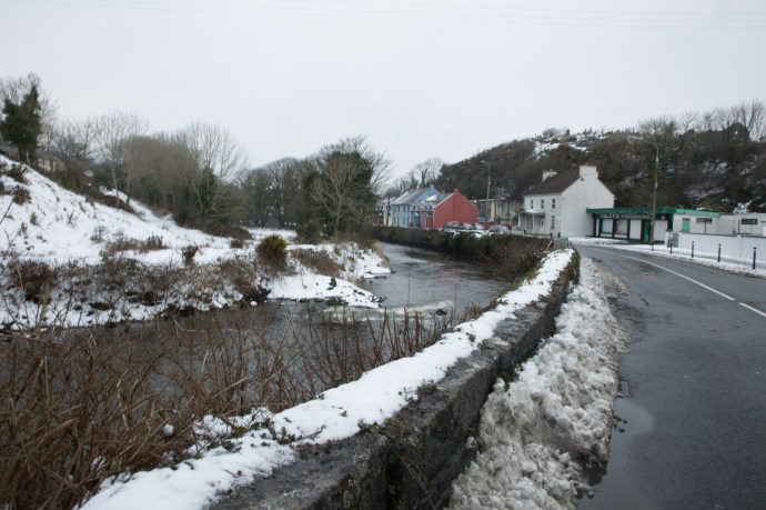
The Inagh River and Ennistymon. Saturday 3rd March, 2018
The old Railway Bridge over the Inagh River, Ennistymon. Saturday 3rd March, 2018

Lahinch. Saturday 3rd March, 2018
Snow dunes, Lahinch. Saturday 3rd March, 2018
Lahinch Castle. Saturday 3rd March, 2018
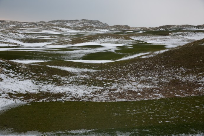
The Golf Course at Lahinch.. Saturday 3rd March, 2018
Lahinch Saturday 3rd March, 2018
Another view of the Castle. Lahinch. Saturday 3rd March, 2018

The estuary at Lahinch. Saturday 3rd March, 2018
Snowy hills above Lahinch Golf Course. Saturday 3rd March, 2018

Miltown Malbay. Saturday 3rd March, 2018
Sunday. 4th March 2018
No snow last night and finally the real thaw started. It still only got to 2ºC maximum all day but the lure of a music session at lunch time in Ennis was too much for me to resist. The Clogher Road was mostly clear now. Mikey Talty was, like many, shoveling snow off the road in front of his house. I stopped for a chat. Mikey had been living here for over 80 years. “Have you ever seen anything like this before?” I asked. “Aah yes” he said. “When I lived in the States”.
Grinning I went on my way. Ireland does get heavy snow every few years. But not so often in these low lying coastal areas such as West Clare. The road to Ennis goes over Slieve Callan and the snow was thick in the hills and again there were drifts, metres high, meaning it was a slow trip. The music at Cruises Pub in Ennis was fantastic, with a huge crowd, desperate for a circuit breaker from the travails of the last few days. I returned about 5pm and it was still felt more like a journey through the alps rather than rural Ireland. I wasn’t ready to go home and called in at Hillery’s, for the regular Sunday evening session. Life goes on.
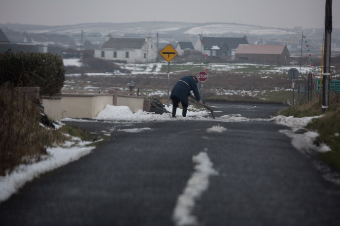
Mikey Talty, resident on the Clogher Road for 82 years clears away snow. Sunday, 4th March, 2018
Snow drifts on the road to Inagh. Sunday, 4th March, 2018

Heavy cover of snow remains. Sunday, 4th March, 2018

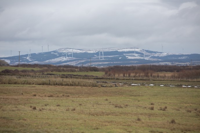
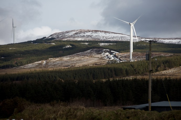
Even the windmills stopped turning. Sunday, 4th March, 2018
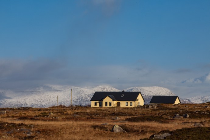
Lonely cottage at the food to Slieve Callan. Sunday, 4th March, 2018
Switzerland? or Ireland? Sunday, 4th March, 2018

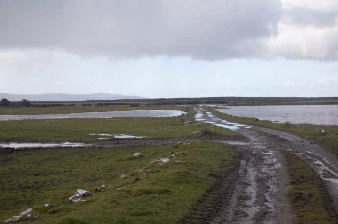
The boreens were starting to clear. Sunday, 4th March, 2018
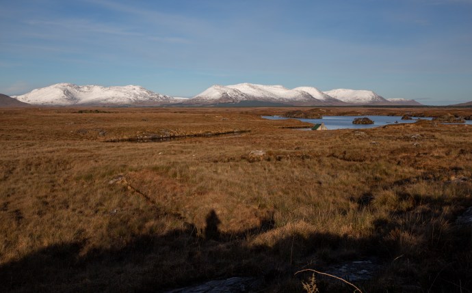
Looking forward, looking back. Mt Callan. Sunday, 4th March, 2018
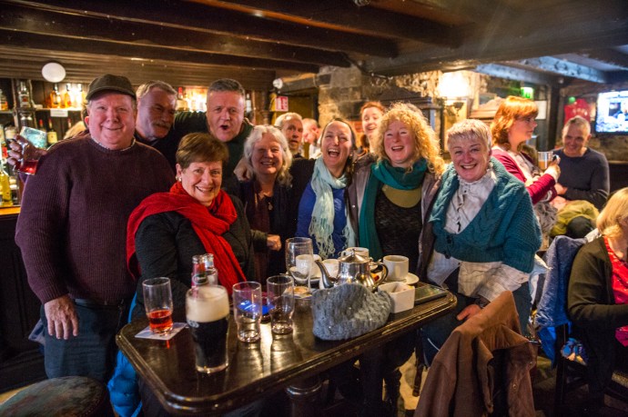
Enjoying the craic at Cruises Pub in Ennis. Sunday, 4th March, 2018
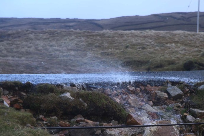
The snow melts in the fields on the Clogher Road. Sunday, 4th March, 2018
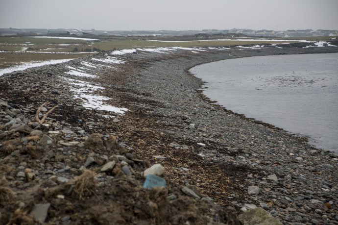
Caherush. The rocky bay is returning to normal Sunday, 4th March, 2018
Almost gone. Sunday, 4th March, 2018
Monday, 5th March 2018.
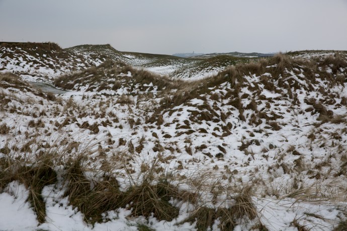
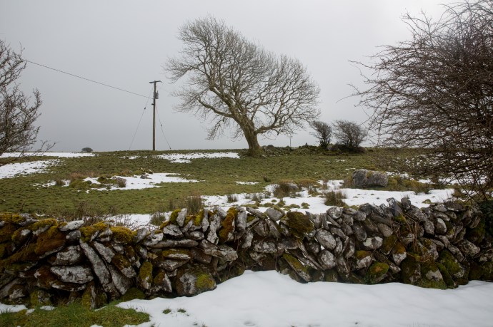
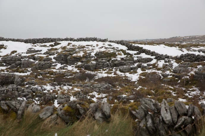
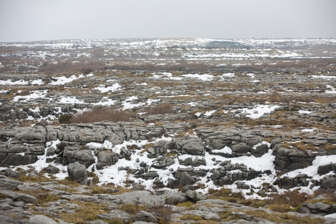
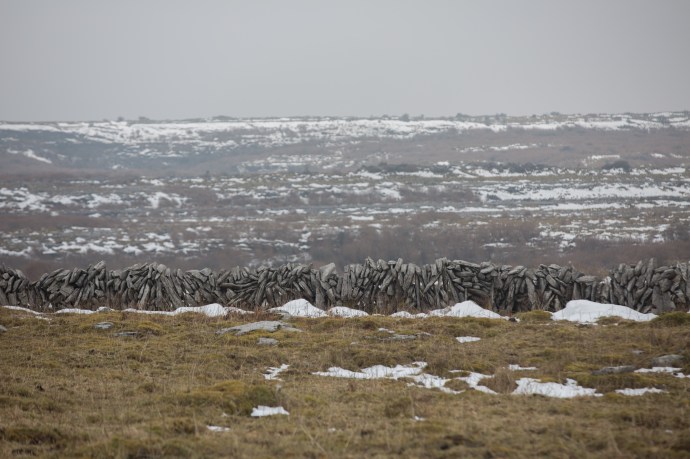
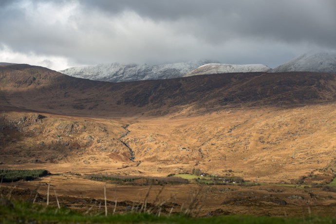
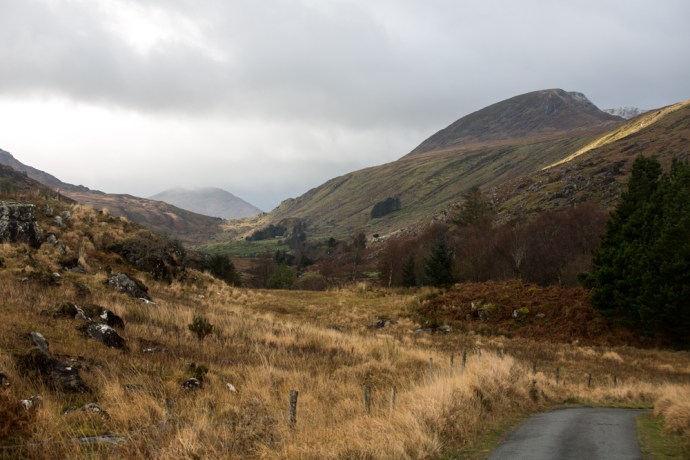
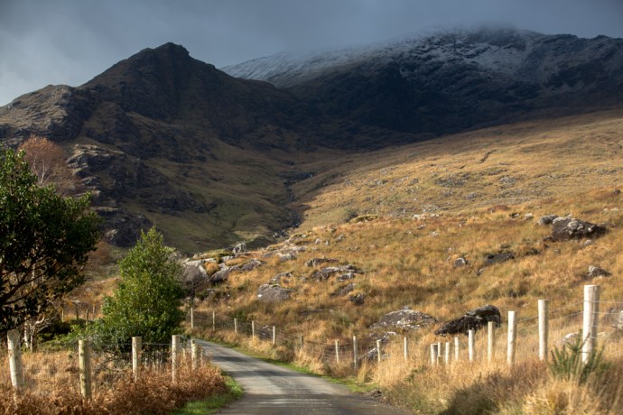
It wasn’t quite over yet. Still the predicted rain never arrived and most of the snow on the lower ground had retreated but I knew it was still lying in the uplands. Maybe the Burren would be worth a visit. I wanted to see it. Temperature was still around 2ºC in the morning as I set out but by the end of the day it had risen to 5ºC. So I drove to Poulnabroun and then to Ballyvaughan and back through Carran. It took all day. It was cloudy and misty so not ideal but walking in the stillness of a snowy Burren was something truly special. So quiet with hardly a soul on the road and those that were seemed to be heading somewhere else. A privilege to see it like this. I encountered a few busloads of tourists and they like me were the lucky ones. The dolmen at Poulnabourn was looking resplendent and I viewed the wonderful stone walls literally in a different light as they stood out framed by the whiteness of the snow and the sky. See if you agree with me. The hills actually had a lot more snow than was apparent from a distance with the clints and grykes retaining the snow where it had melted elsewhere. The Turlough at Carran, a wondrous geological feature had plenty of water, though much of it appeared to be covered with ice. I imagine a couple of day earlier you might have been able to walk across it. By the way turlough, along with drumlin and esker are the only three words of Irish origin that I know that are used worldwide as geological terms. Thick snow was still on some of the Lanes but the snow ploughs were out and about so I imagined most would be passable.
The event that had dominated Irish lives, closed schools, airports highways and even pubs, isolated people for days and created timeless memories was over.
And that seems a good place to end this story.
Plenty of snow on the way to the Burren. Monday, 5th March 2018.
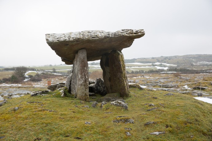
Poulnabroun Dolmen. Monday, 5th March 2018.

Poulnabroun Dolmen. Monday, 5th March 2018.
Near Poulnabroun Dolmen. Monday, 5th March 2018.
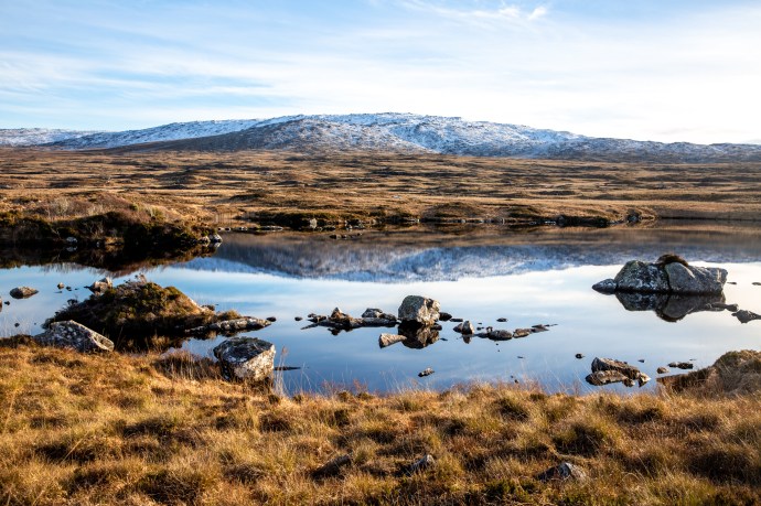
Burren scene. Monday, 5th March 2018.
Burren. Monday, 5th March 2018.
Burren. Monday, 5th March 2018.

Burren. Monday, 5th March 2018.

The tourists still come. Monday, 5th March 2018.
Burren. Monday, 5th March 2018.
On the way to Carron. Monday, 5th March 2018.
Still heavy snowdrifts. Monday, 5th March 2018.

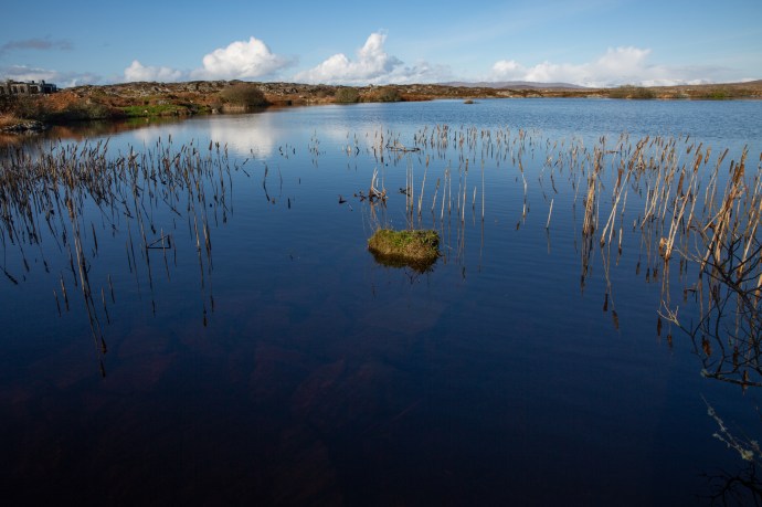
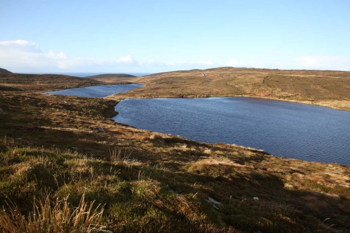
Carran Turlough.Monday, 5th March 2018.

The Turlough. Much of it is still frozen. Monday, 5th March 2018.
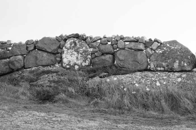
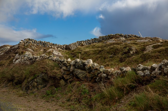
Here are some pictures of those wonderful stone walls:
Tuesday 6th March 2018
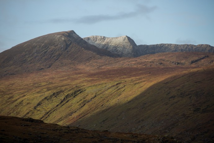
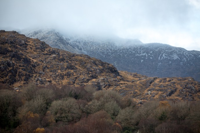
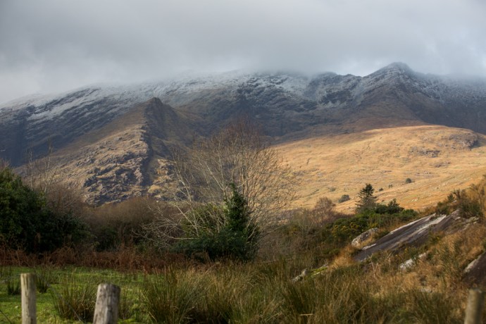
I thought I had finished this blog but it was much brighter this morning and by the afternoon the sun was returning. The temperature soared up to 7ºC. Out my kitchen window the paddocks were pretty much free of snow. Not Mt Callan. It looked glorious (despite those windmills) with patches of sun glistening off it. I had to go up and take a closer look. There was plenty of snow so, sorry, a few more pictures.
Almost a week. A week I won’t forget.
Mt Callan. The view from my kitchen window. Tuesday 6th March 2018

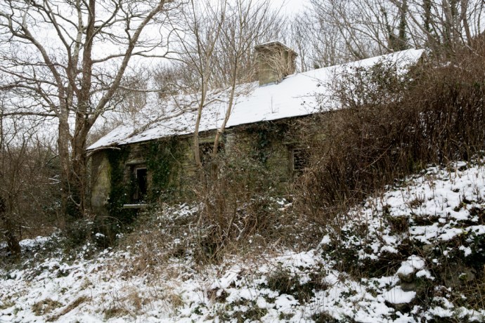
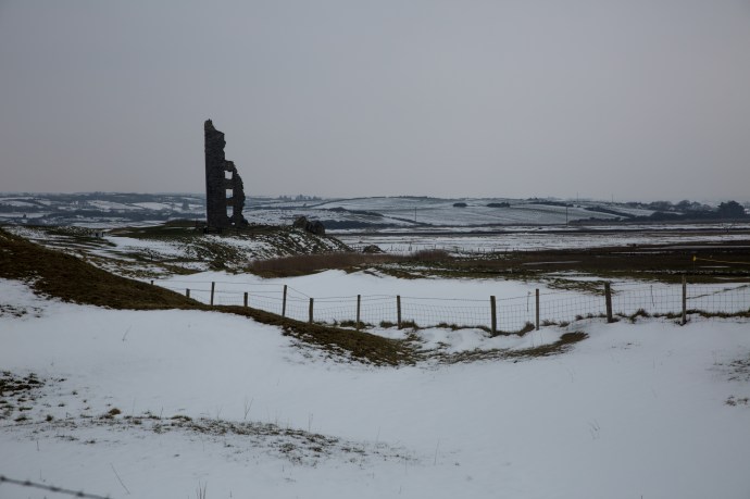
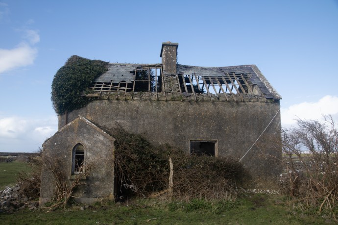
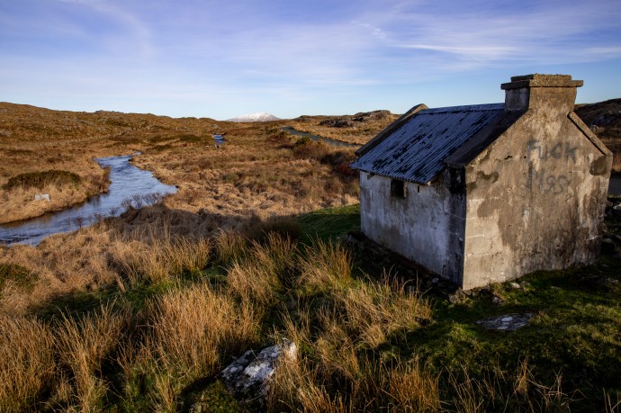
Ruined cottage. Road to Mt Callan. Tuesday 6th March 2018

Behind Miltown Malbay. Tuesday 6th March 2018

Mt Callan. Tuesday 6th March 2018

The Summit. As close as I could get. Tuesday 6th March 2018

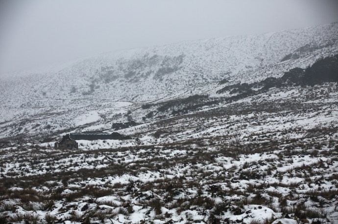
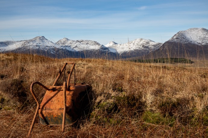
Abandoned barn. Mt Callan. Tuesday 6th March 2018
The roof of the world. Tuesday 6th March 2018
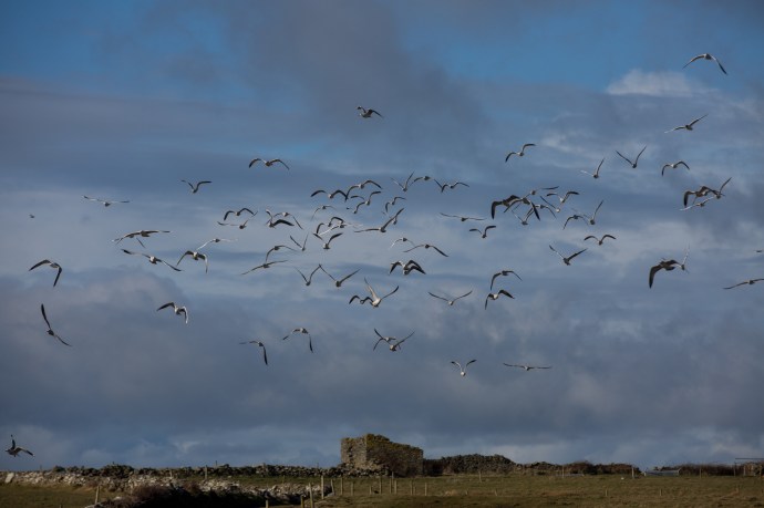
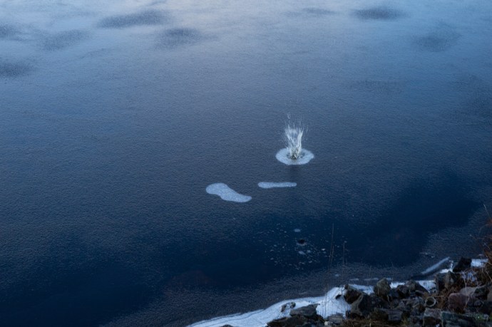
Situation normal. The gulls have returned to Caherush.

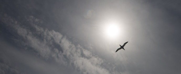
A bird’s eye view. Tuesday 6th March 2018


![arranmproc3[1]](https://singersongblog.me/wp-content/uploads/2017/11/arranmproc31.jpg?w=690)