
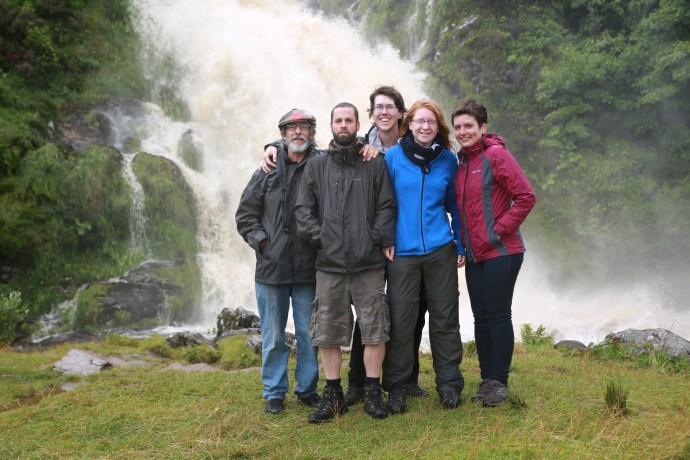
I hope my blogs on Ireland aren’t getting too boring. Each time I discover or rediscover a new place I can’t stop scraping up the superlatives. I’ve blogged recently on the magic of Glencolmcille and south west Donegal, on the spirit of Achill Island, on the beauty of Doughmore in West Clare and West Connemara and many places in between. Recently I visited the Beara Peninsula again for the first time in twenty years. And I’m sorry but I have to regale you with more resplendent words yet again.
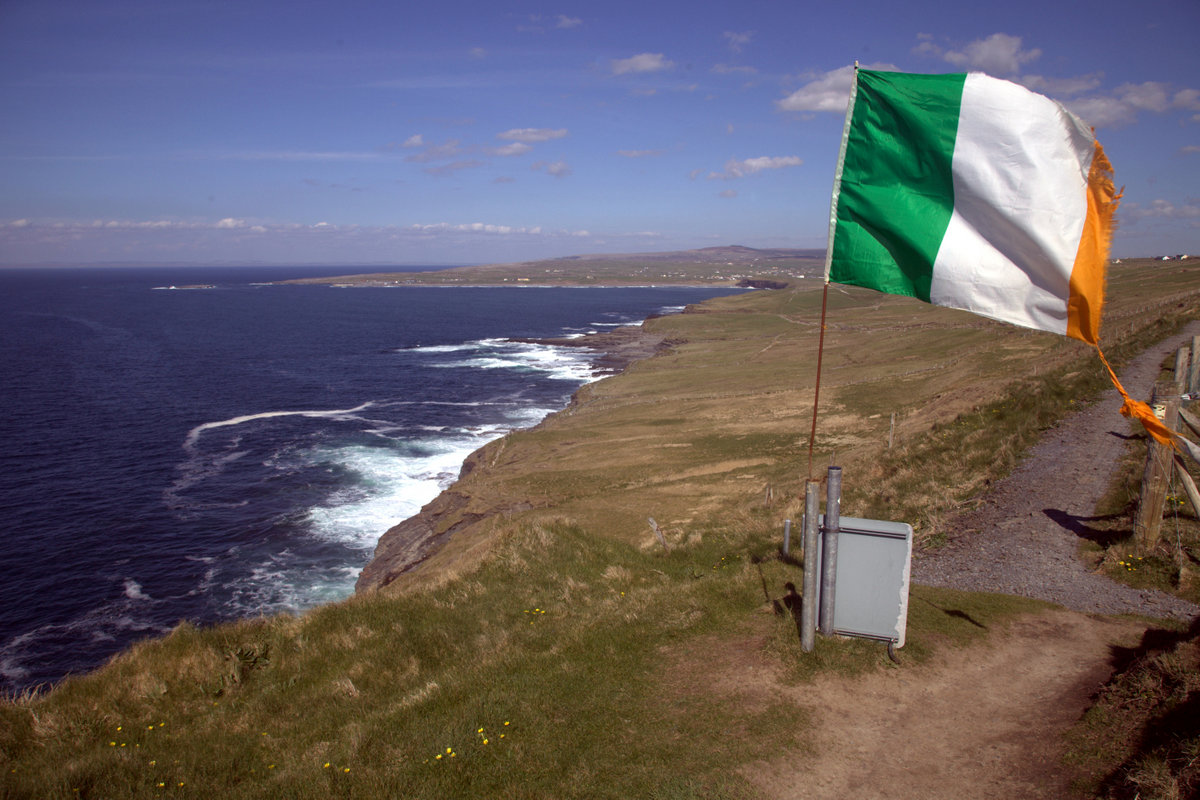
The Beara Peninula is one of those wonderful headlands that define West Kerry and West Cork, jutting prominently into the Atlantic and adding a whole lot of extra kilometres to the Wild Atlantic Way. Many have well known and evocative connotations. The Iveragh Peninsula, better known as the Dingle Peninsula, and the famous Ring of Kerry are the prime destinations for visitors and do not fail to disappoint. Less well known are the Beara Peninsula, Sheep’s Head and the spectacular Mizen Head.
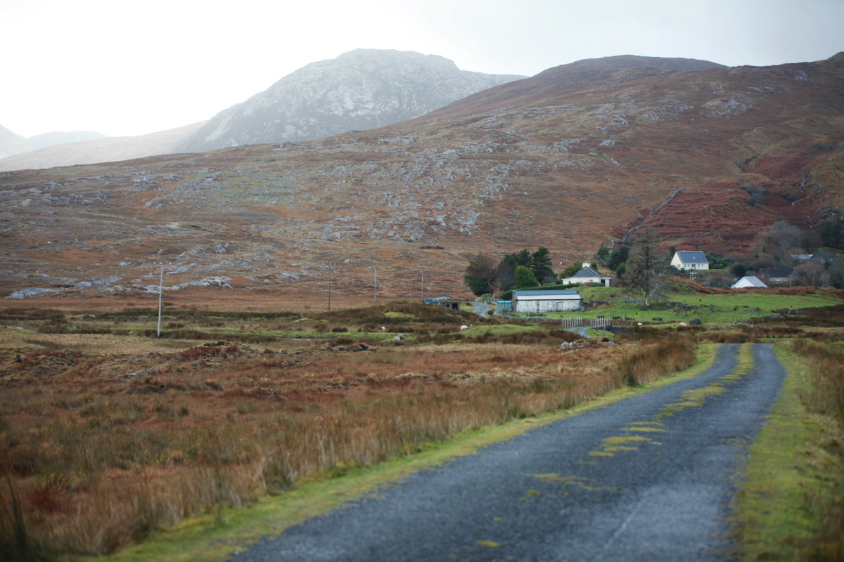
The attractions of the Beara Peninsula are however becoming better known and I am told by the locals that this summer it was crowded with visitors. I chose to visit in late October. The weather was good (in Irish-speak that translates to ‘no rain’) and it has to be the perfect time. At the western end, the roads are almost deserted and you feel you have this magnificent landscape to yourself.
An obvious draw of this place is that it is more compact than the Ring of Kerry but there is so much variety, so much of interest and so much to fill the shortening autumn days that it was hard to leave.
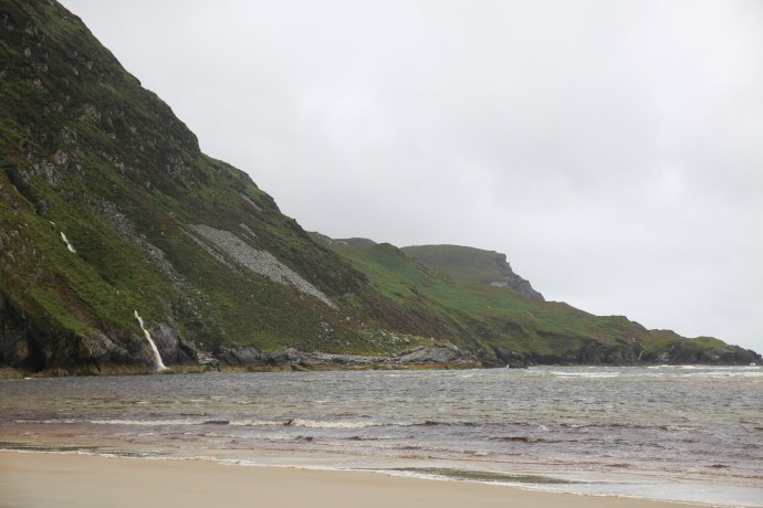
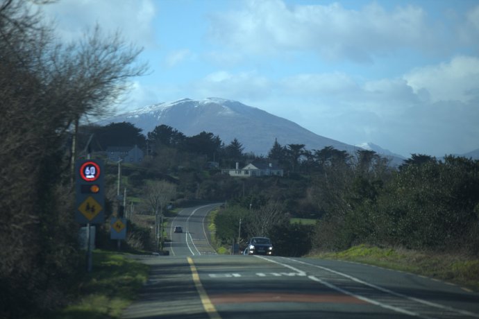
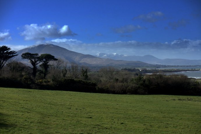
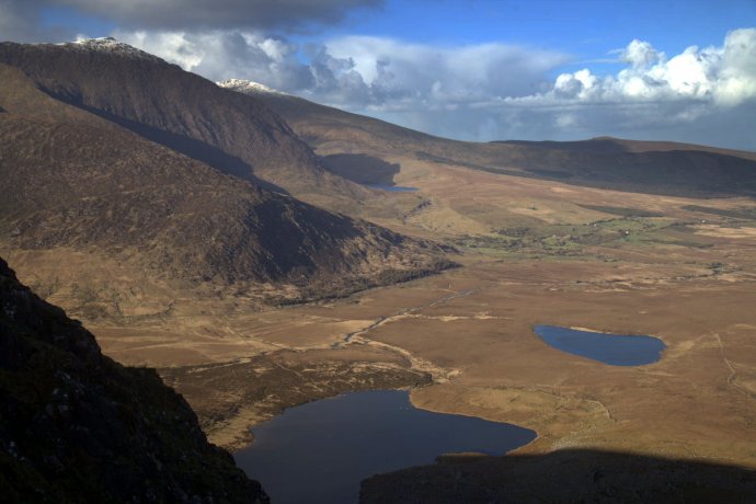
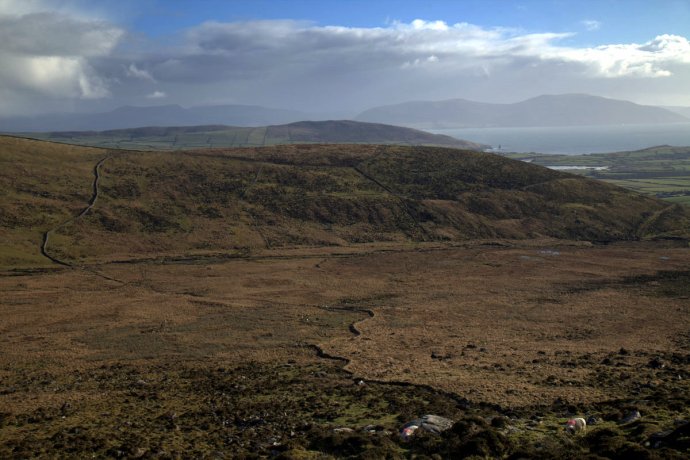
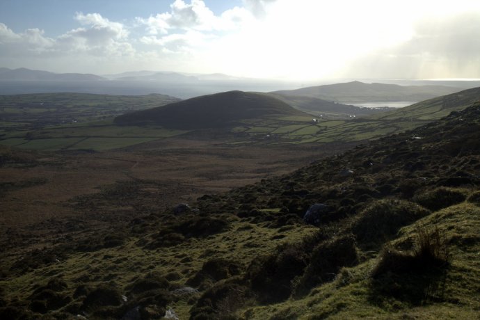
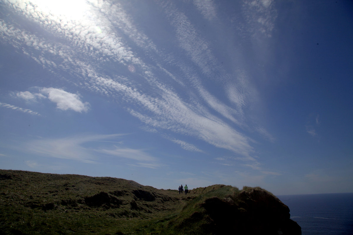
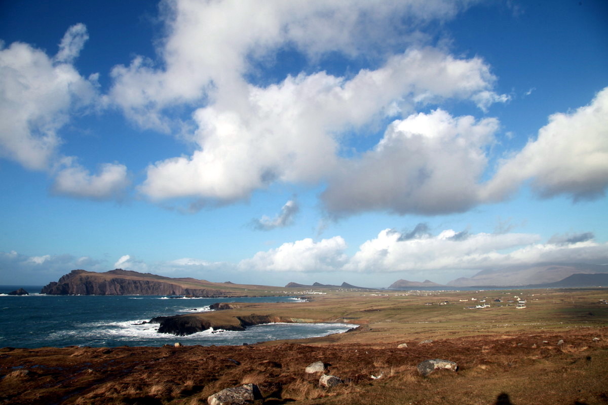
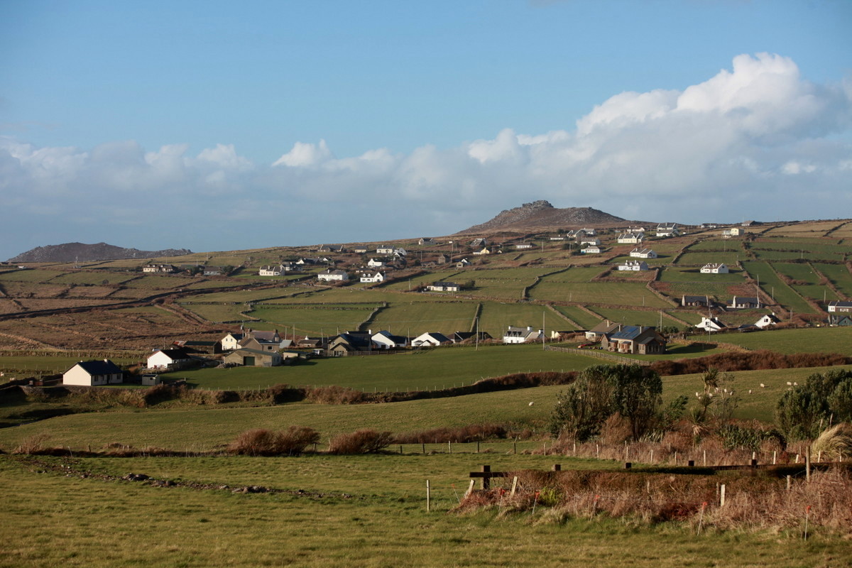
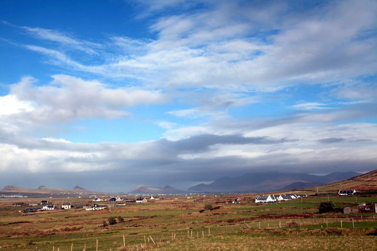
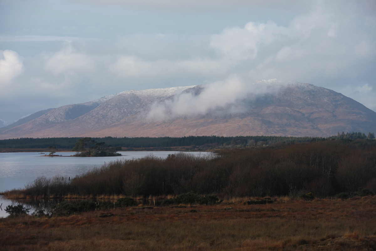
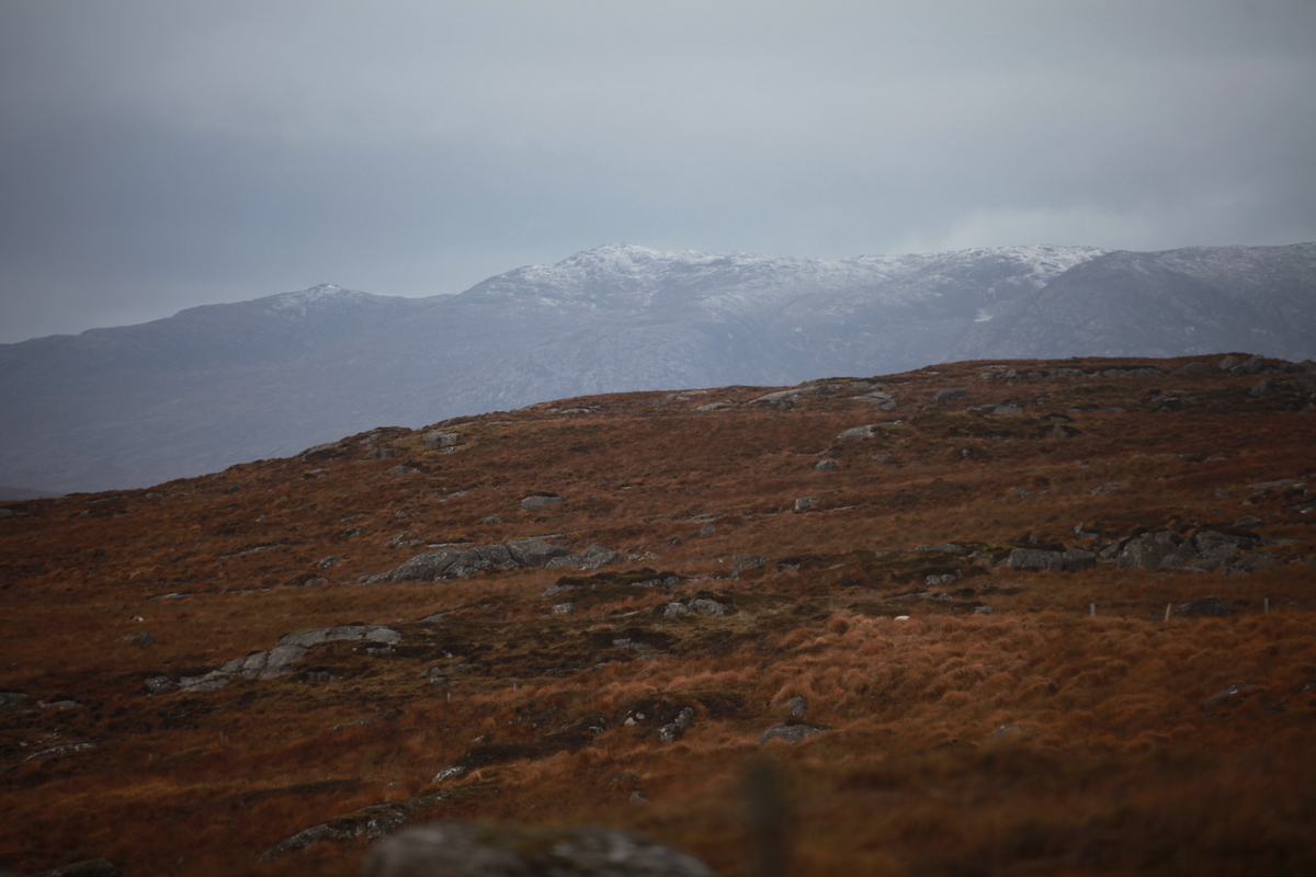
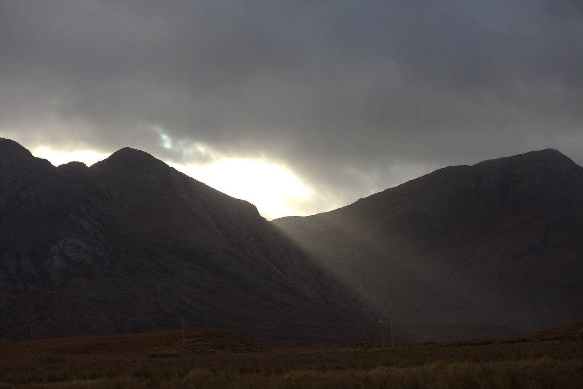
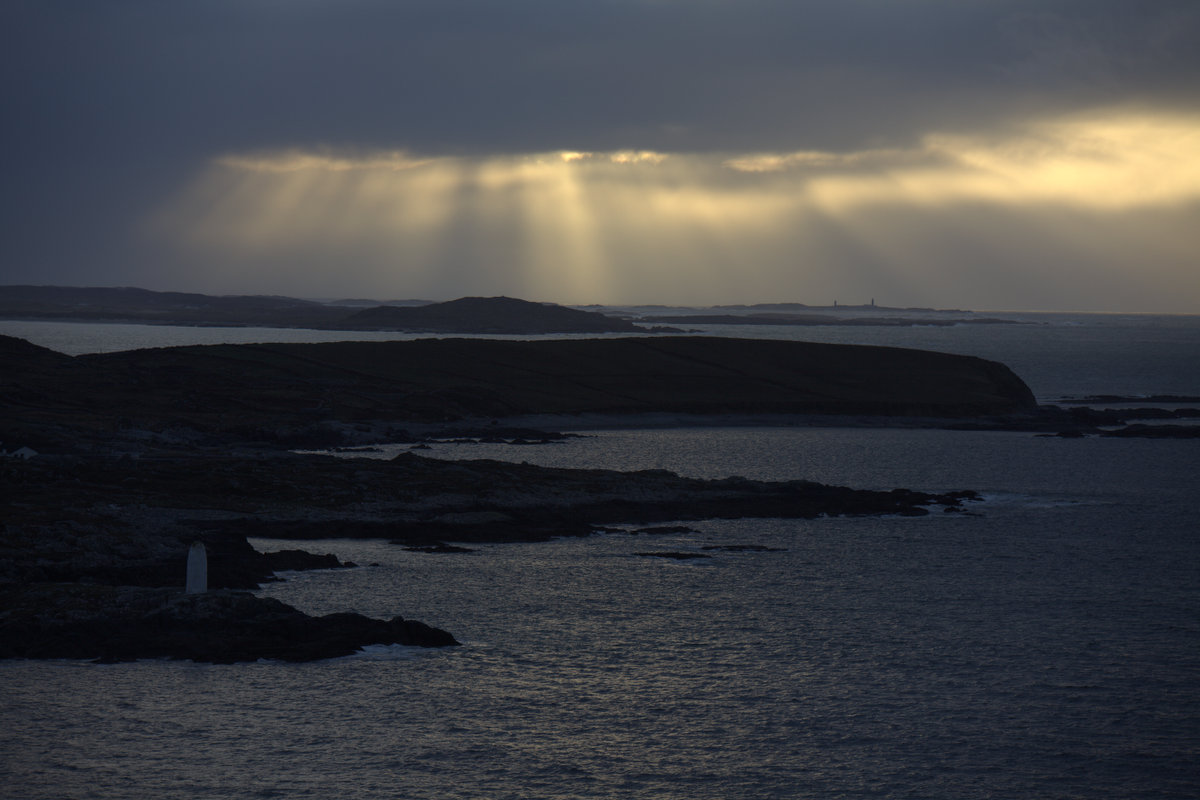
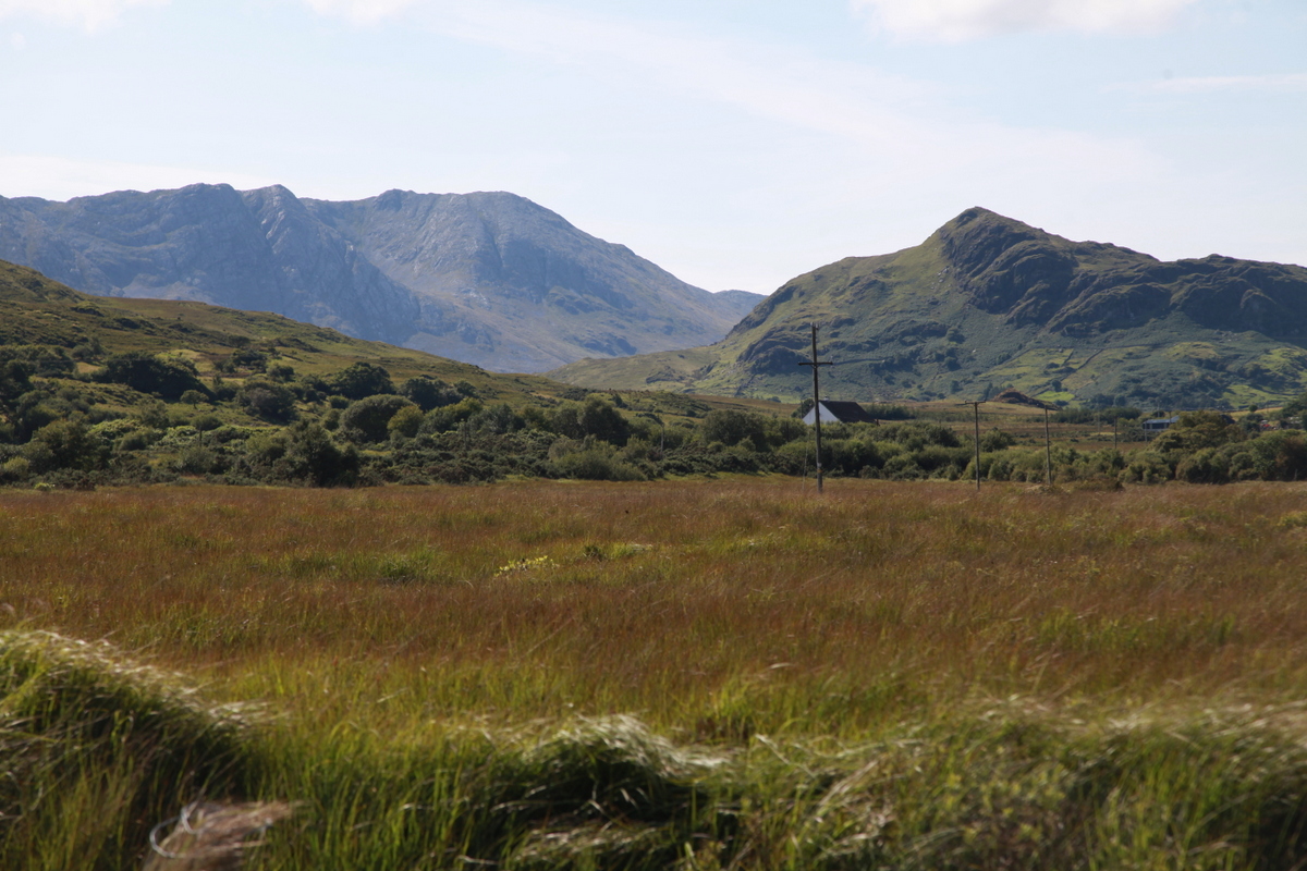
So what does this little treasure offer? For a start magnificent vistas are around every corner. You can approach from the Northern Road or the Southern Road but my strong recommendation is you find time to do both.


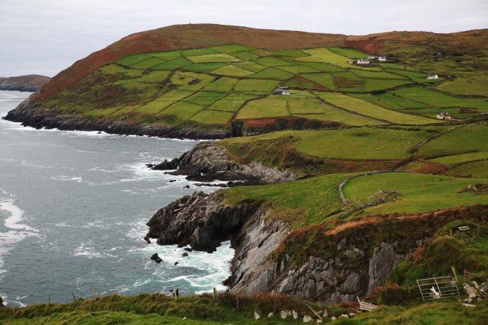
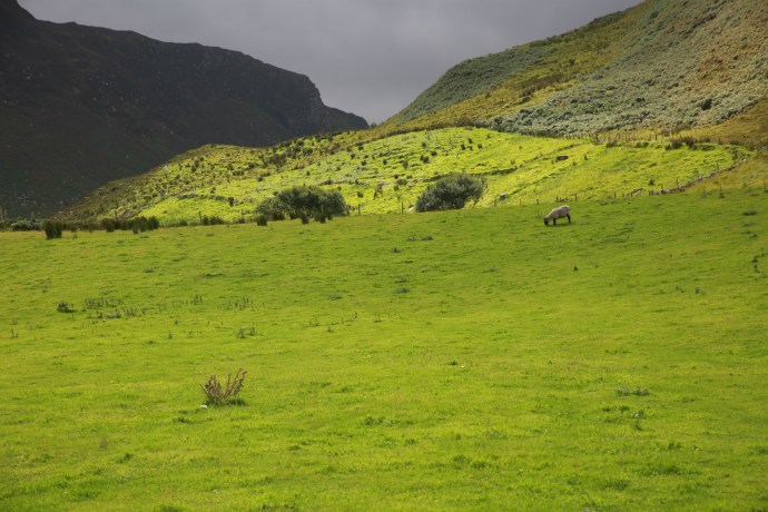
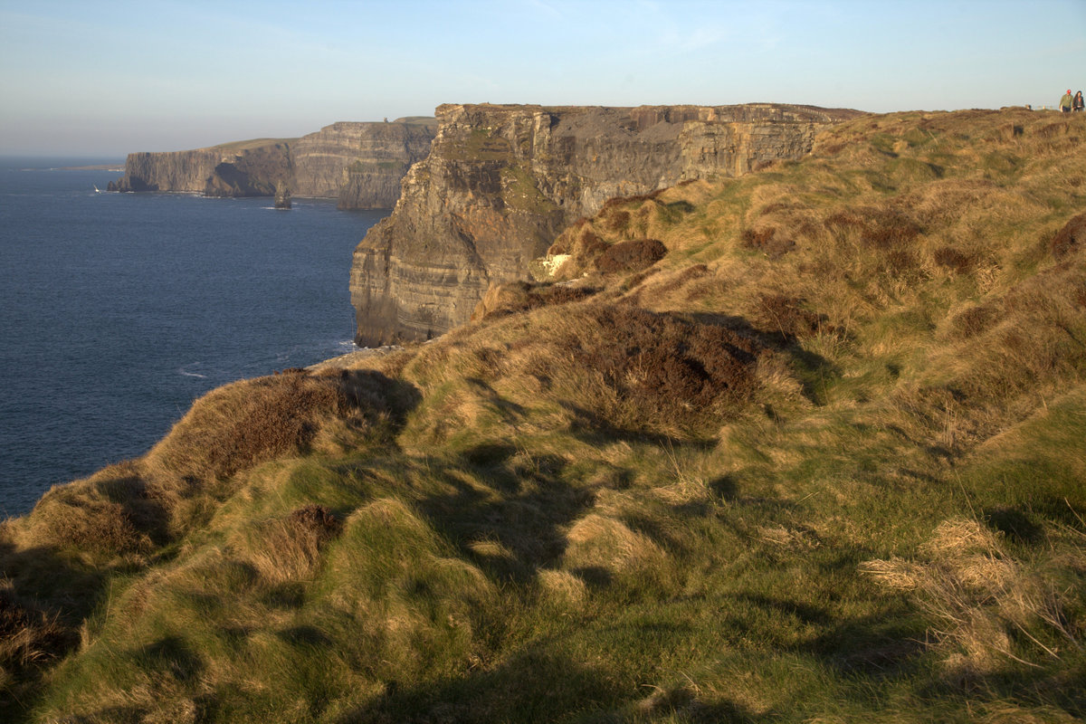
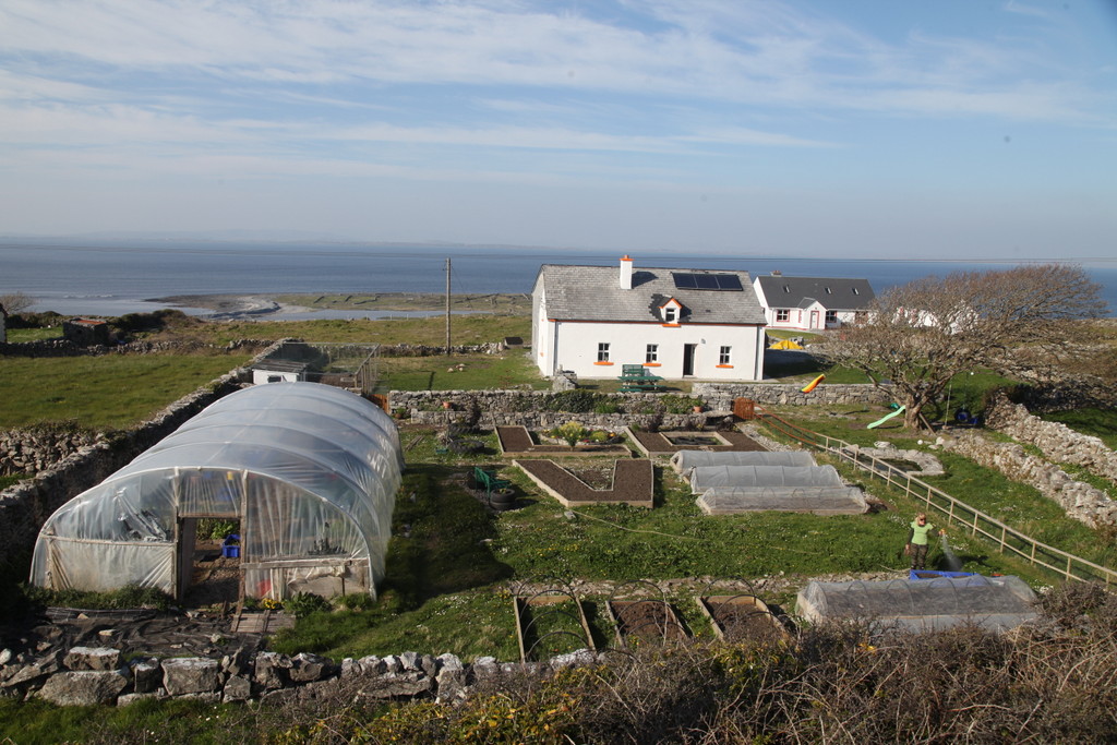
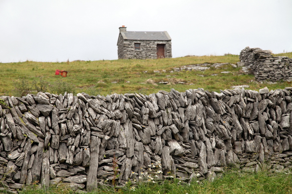
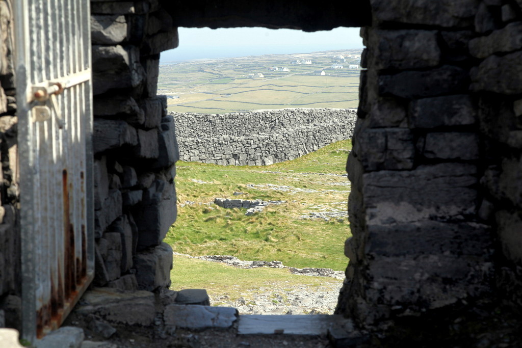
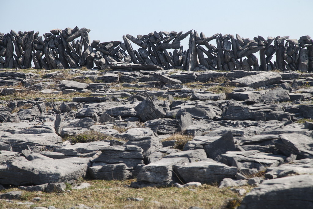
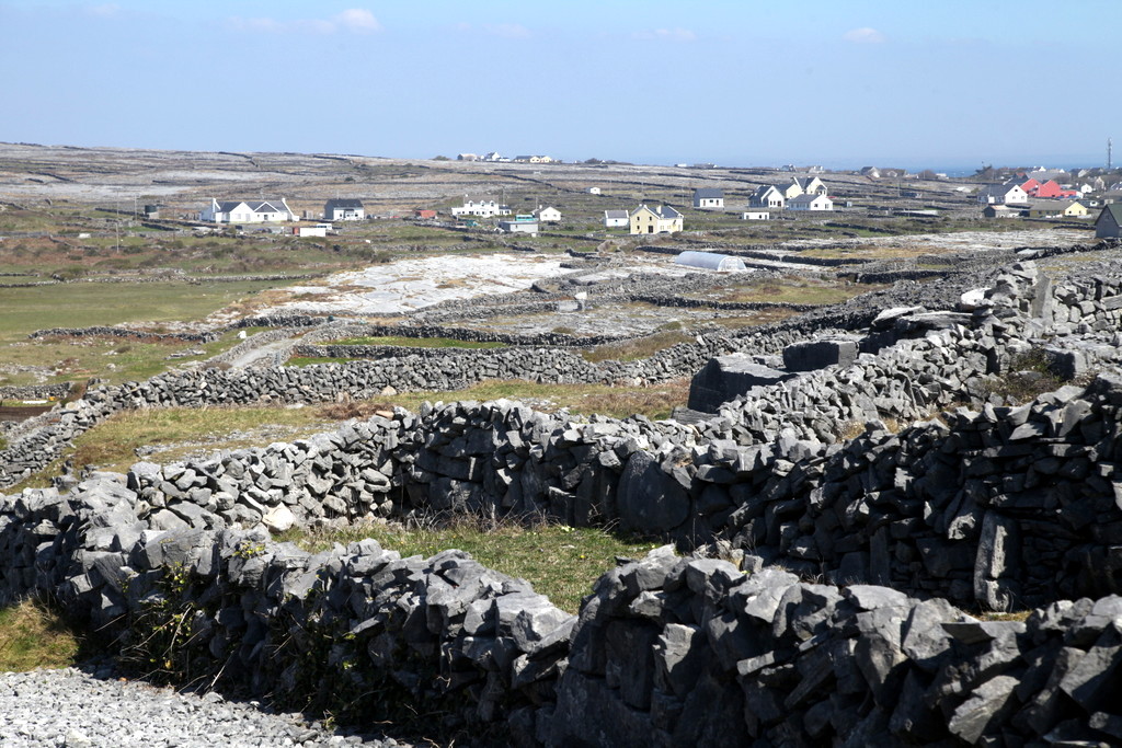
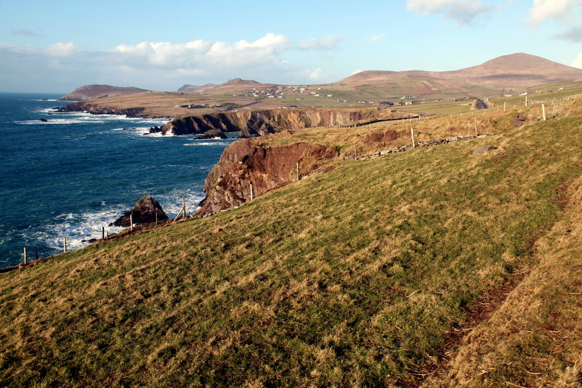
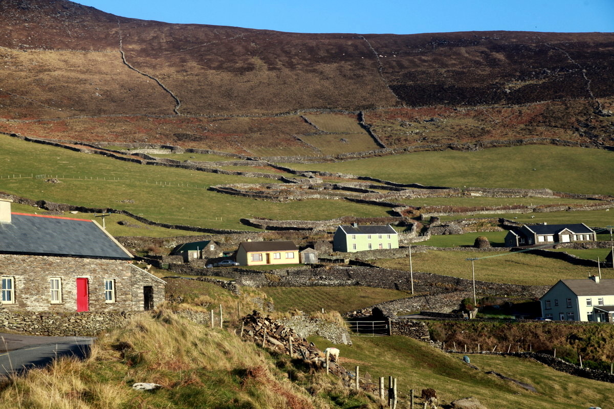
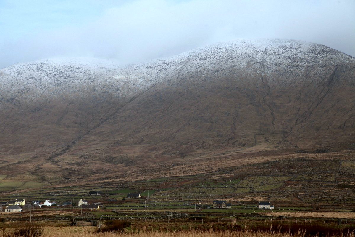
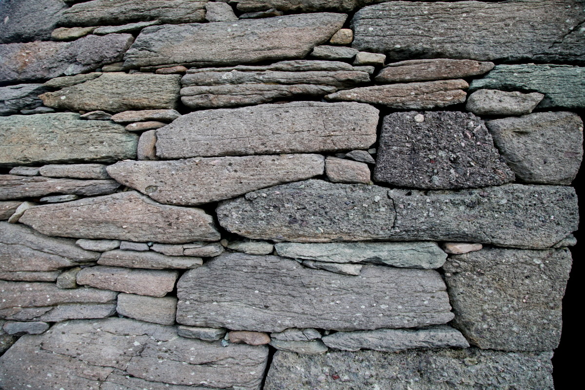
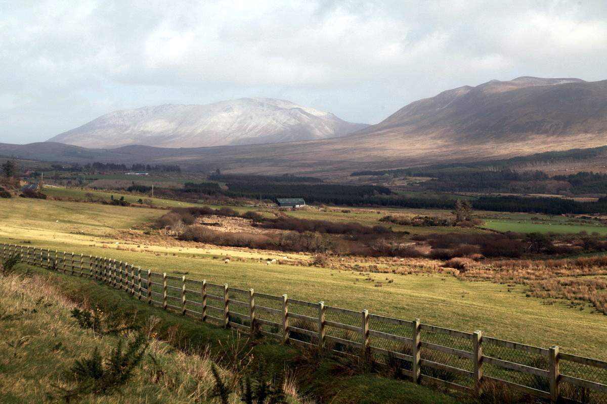
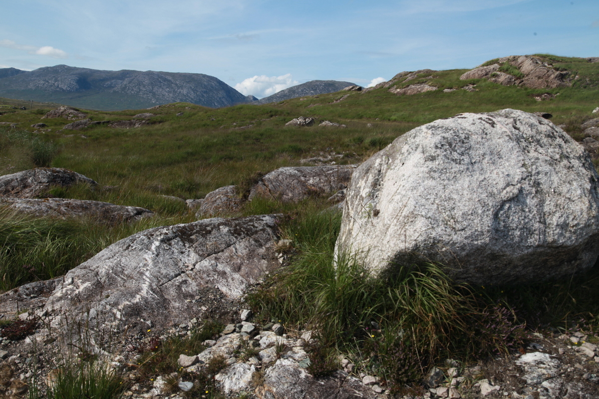
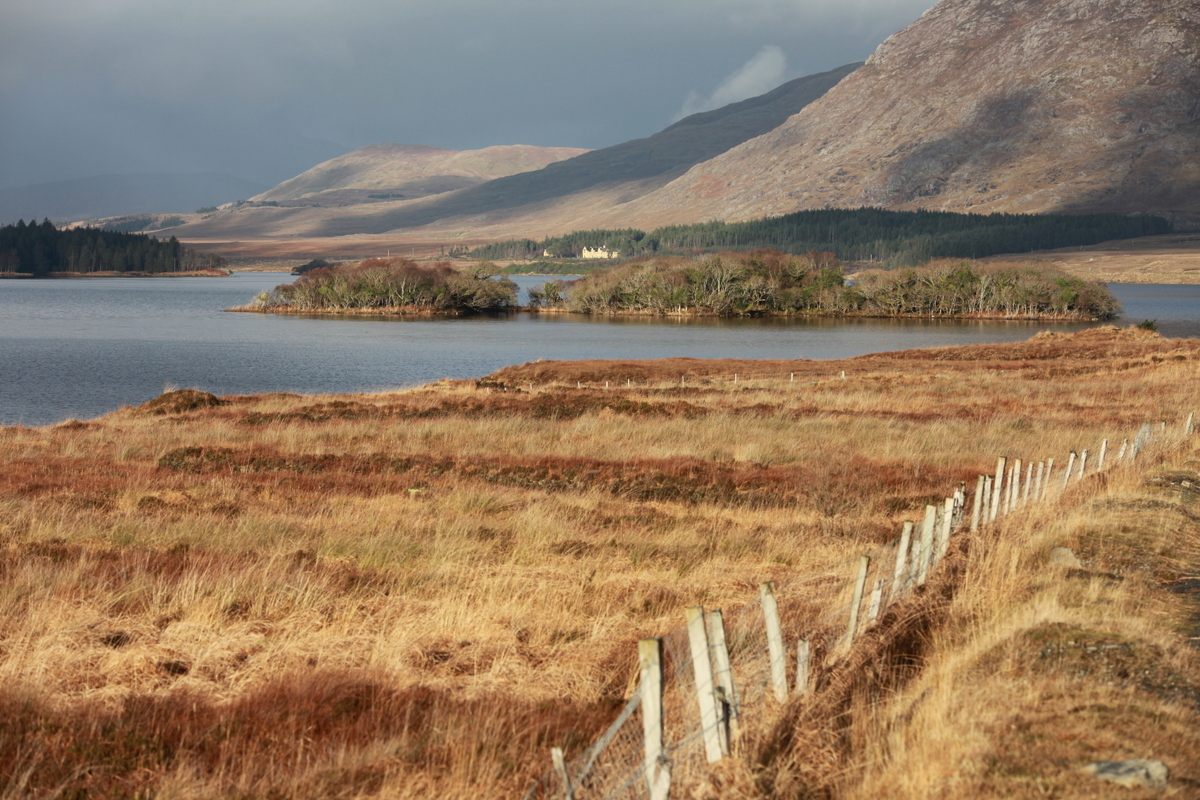
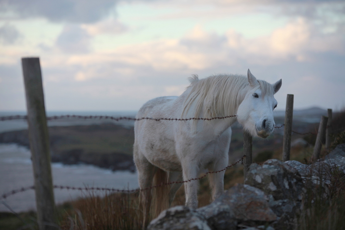
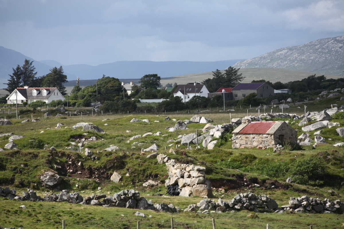
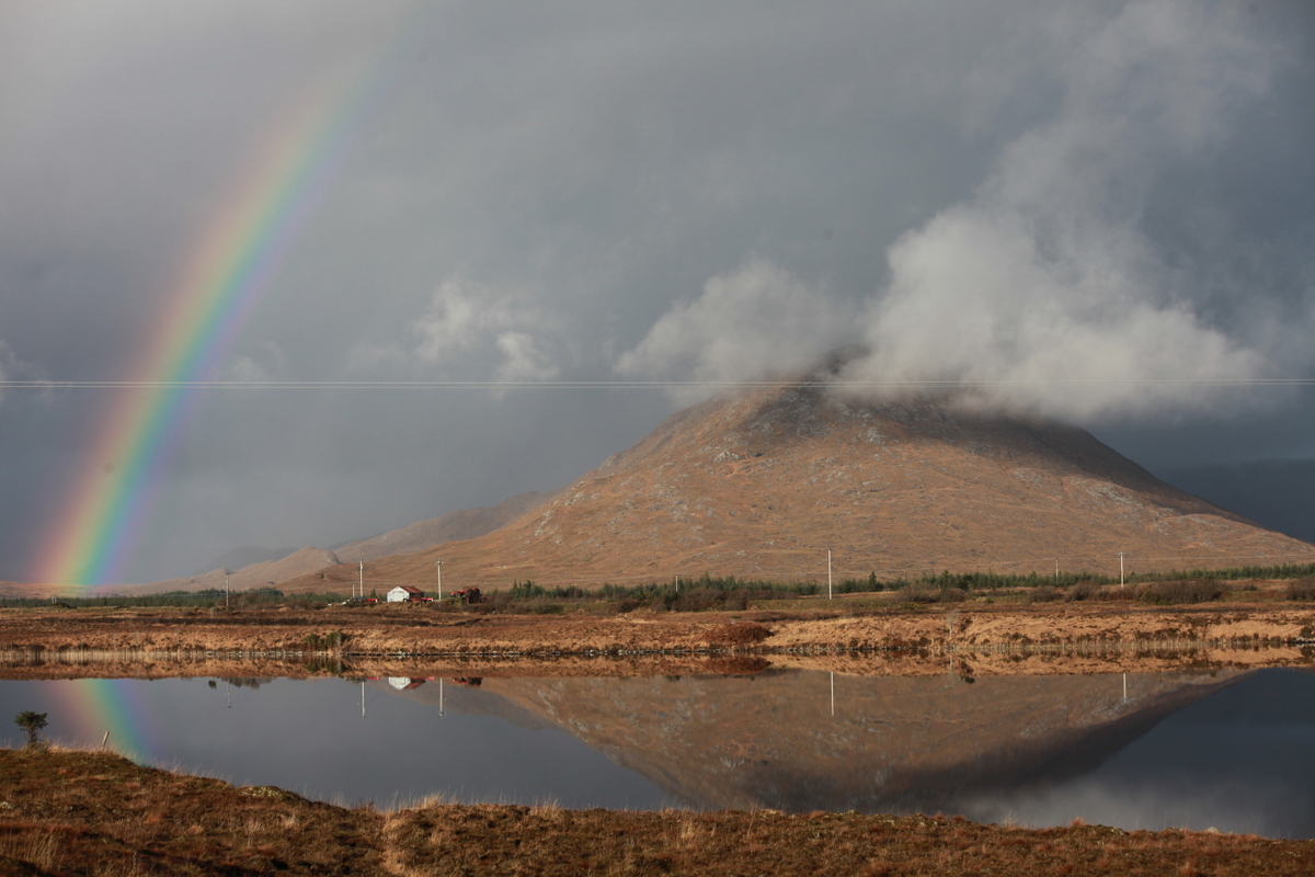
And sometimes you see something that you know could not be replicated anywhere else in the world. The patchwork quilt and stone walls that say Ireland, Ireland, Ireland.


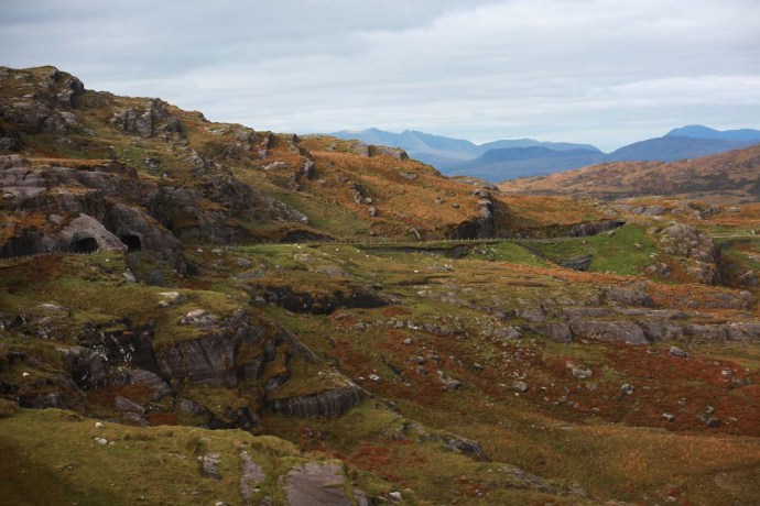
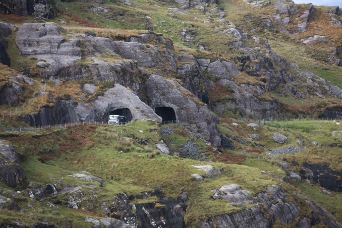
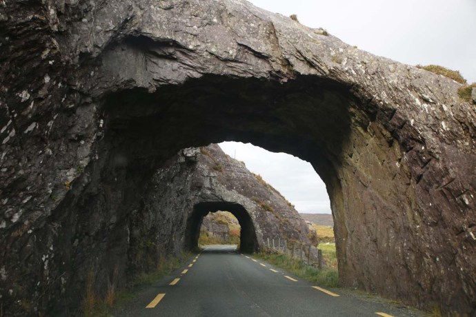
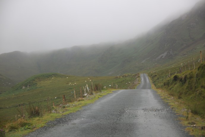
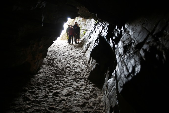
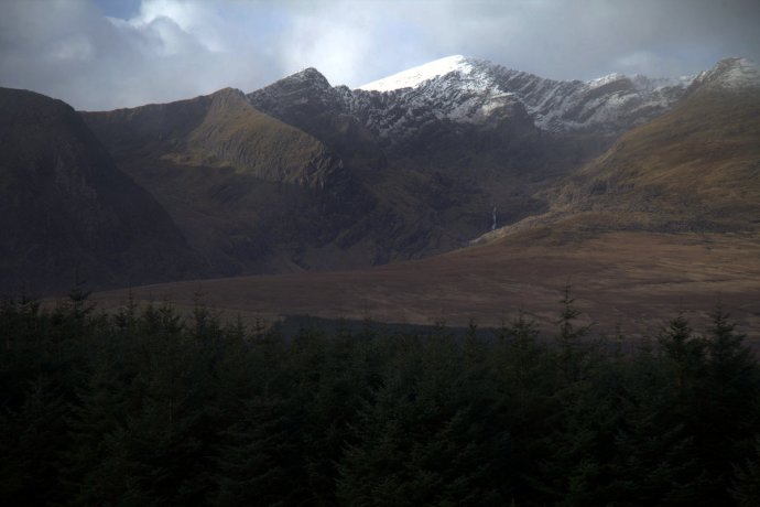
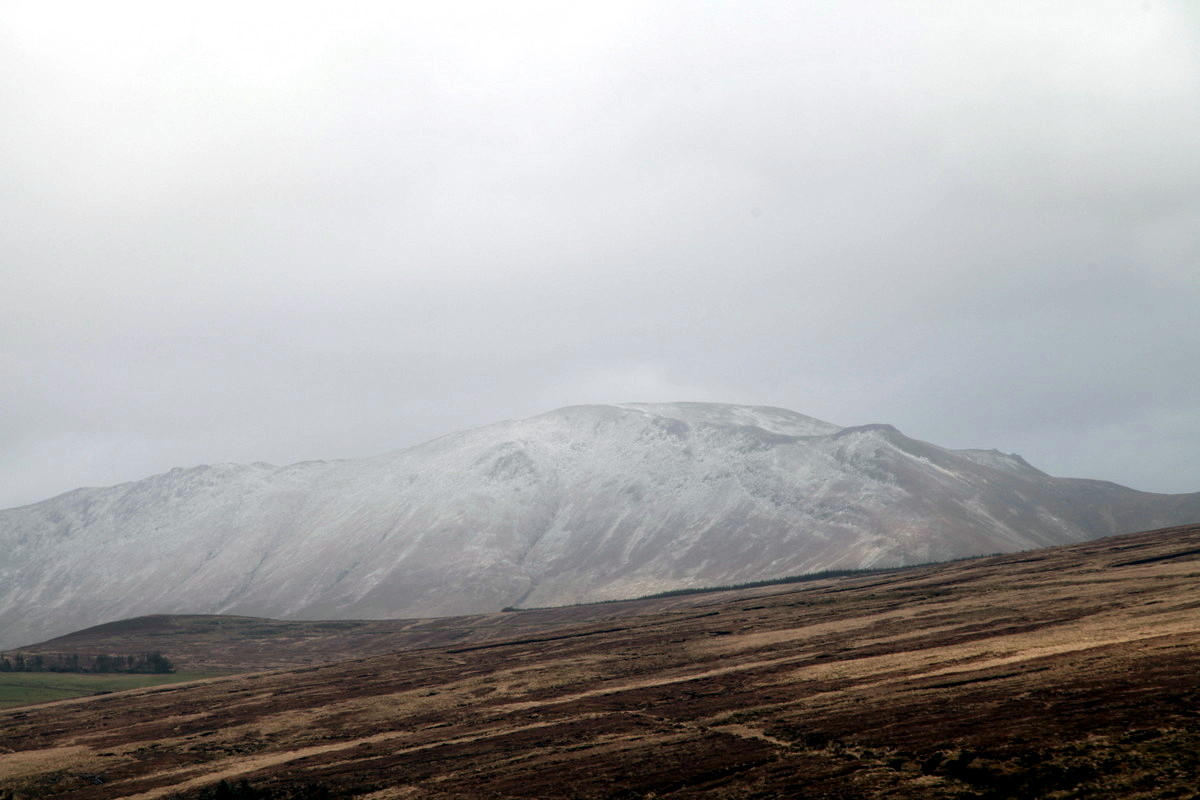
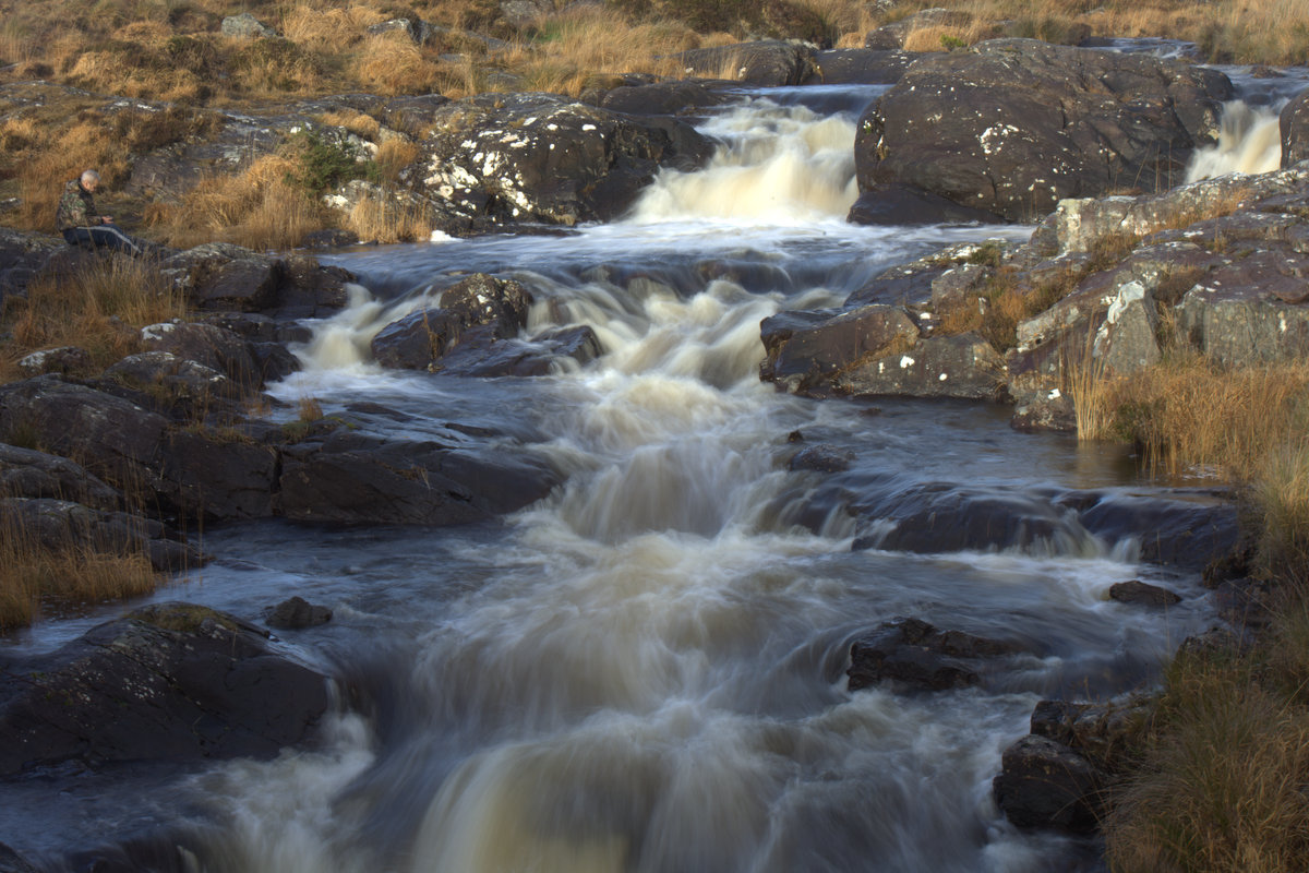
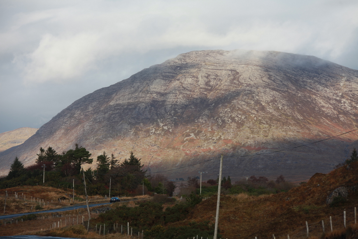
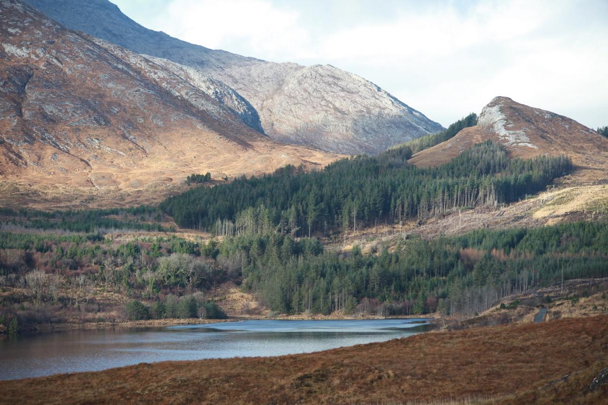
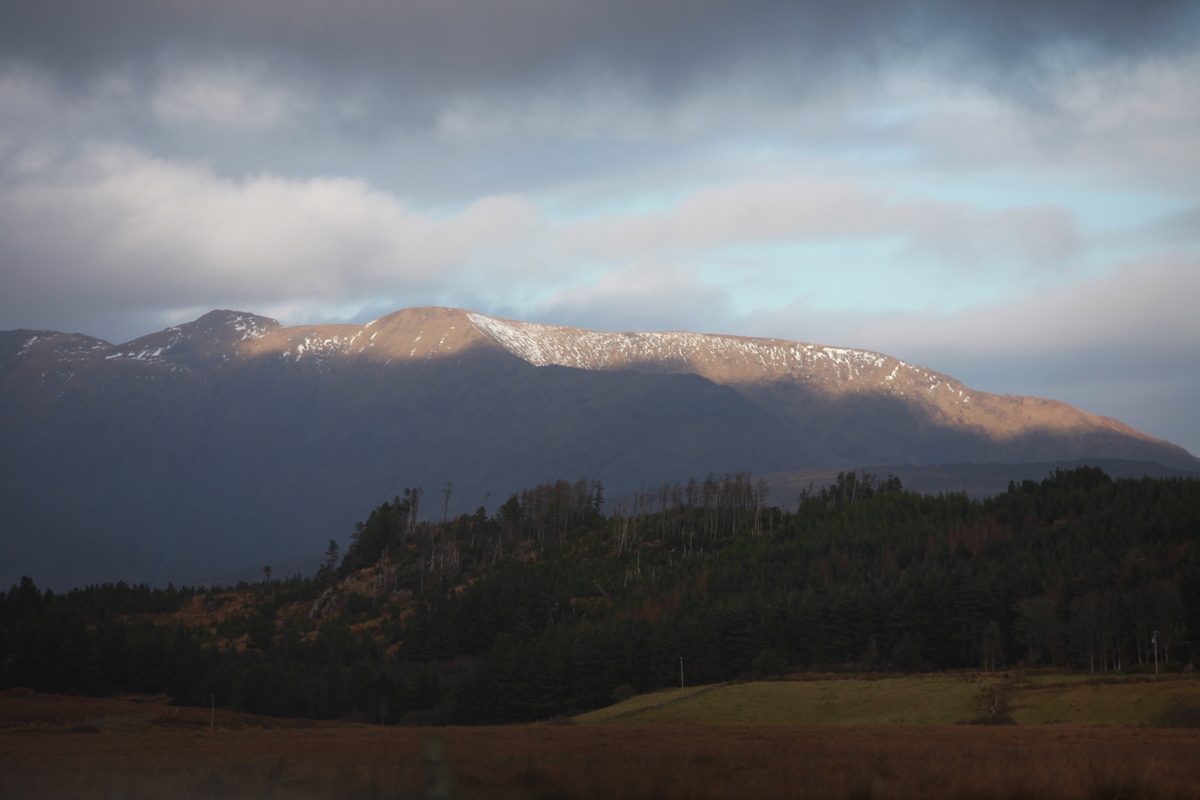
There are a number of mountainous rocky passes. I explored the Caha Pass this time, which links Kenmare with Glengariff. Here there is stunning scenery and four remarkable tunnels (known as Turner’s Rock Tunnels) built in the 1840s when they decided to go through the rock rather than over it. Quite an engineering feat for its day and very unique for road construction as most tunnels in Ireland were built for railways. Indeed the railway construction boom did not start until the 1840s so these tunnels predate any rail tunnel in Ireland. From this impressive road there are craggy mountains, magnificent pasture and grasslands, and sweeping panoramas. Next time I will do the Healy Pass.
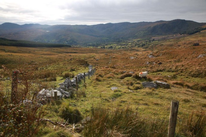
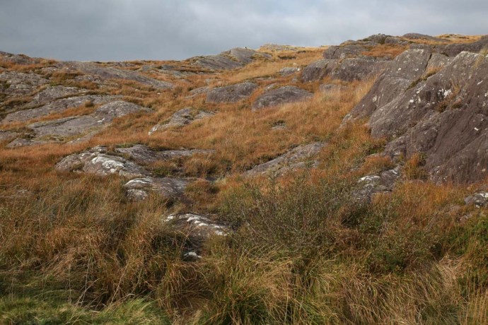
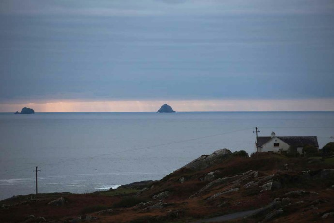
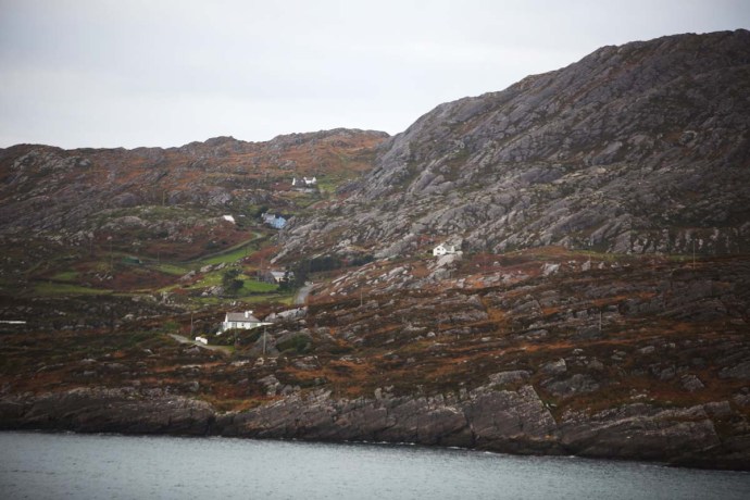
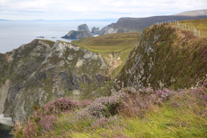
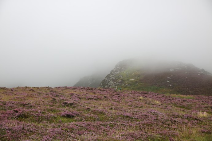
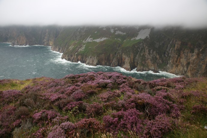
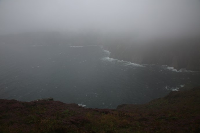
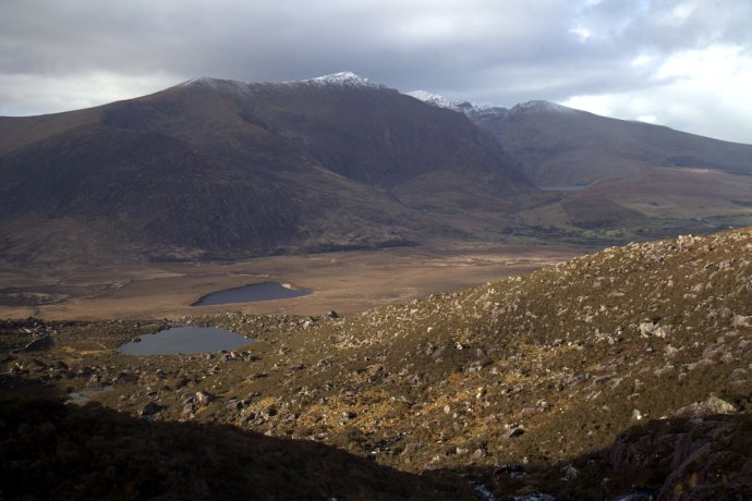
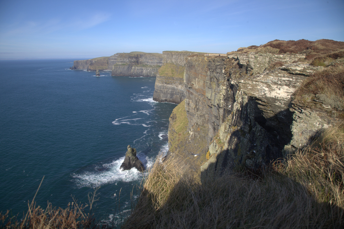
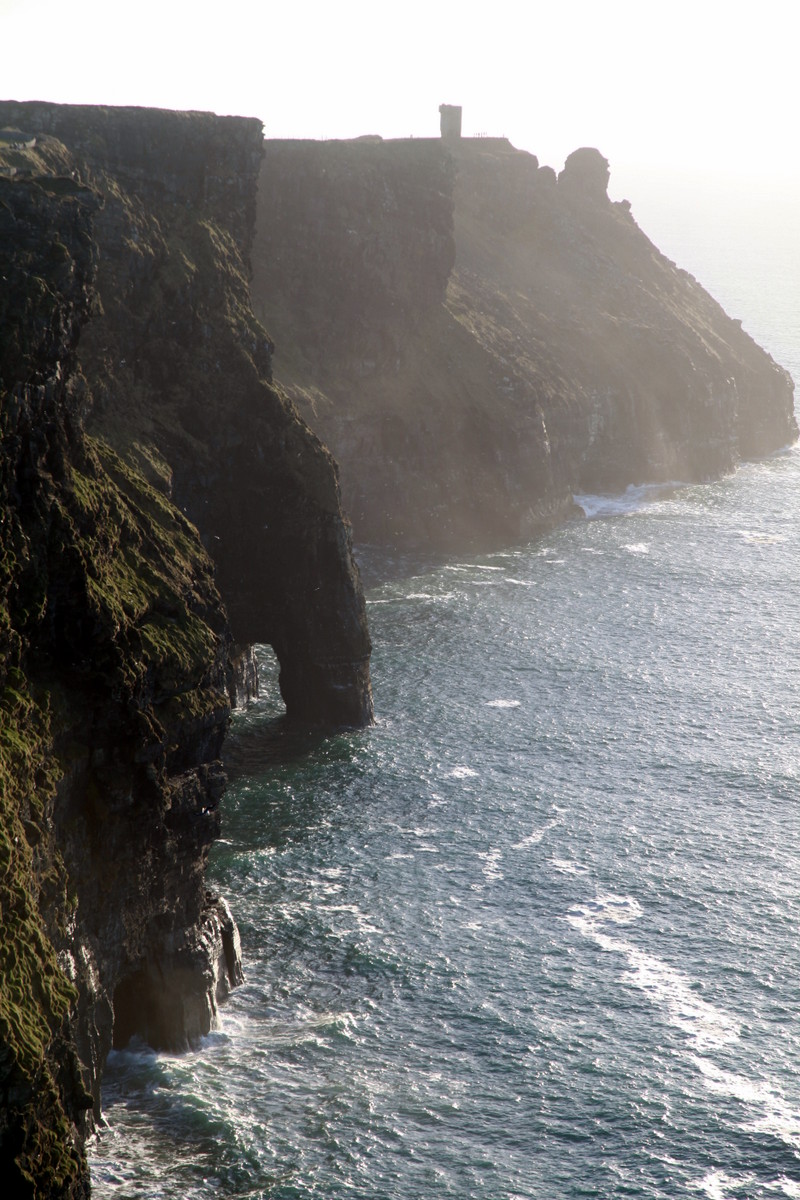
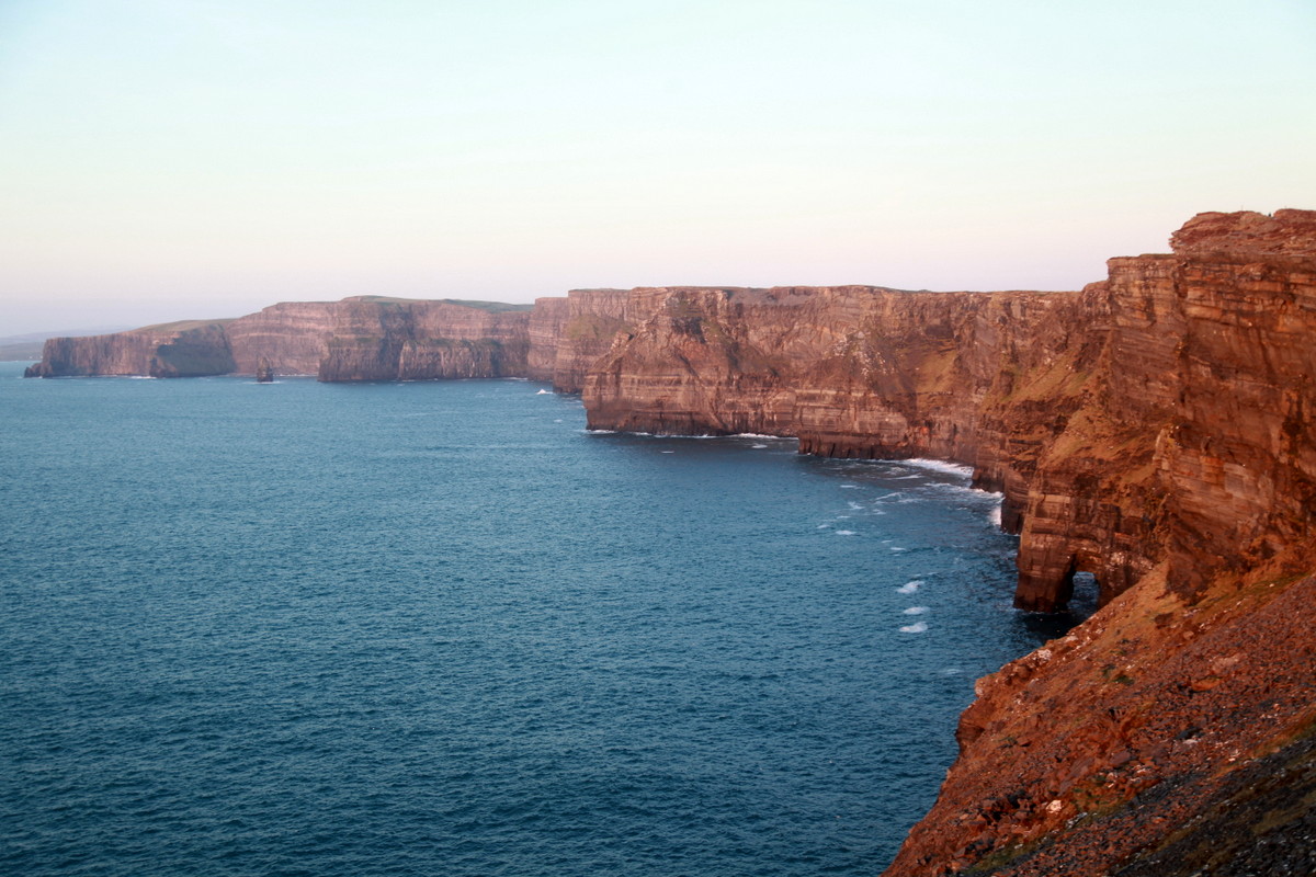
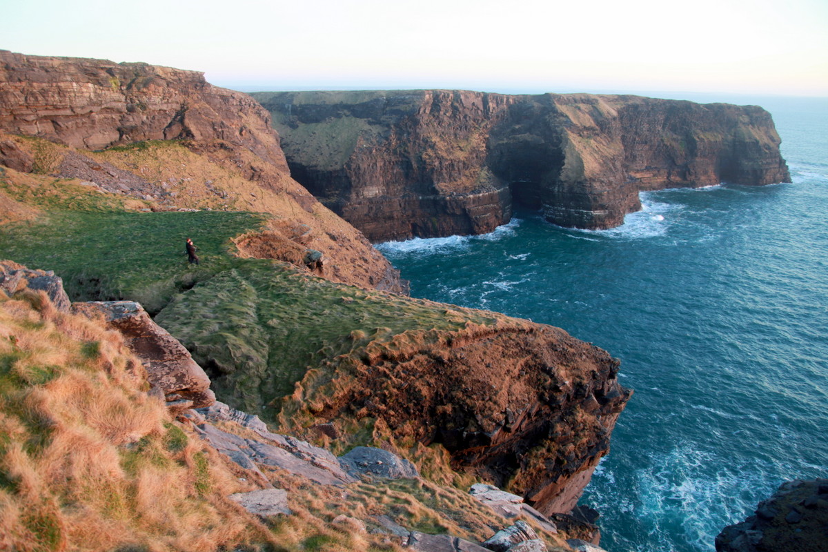
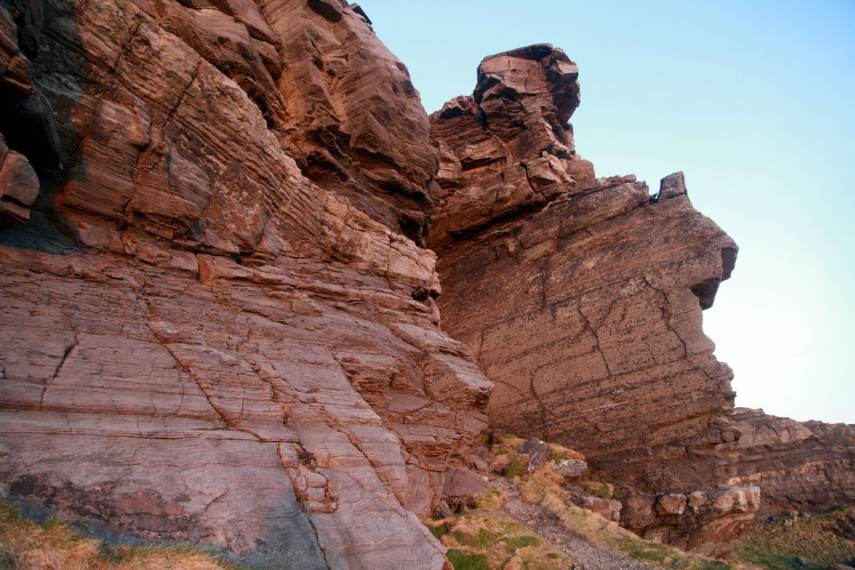
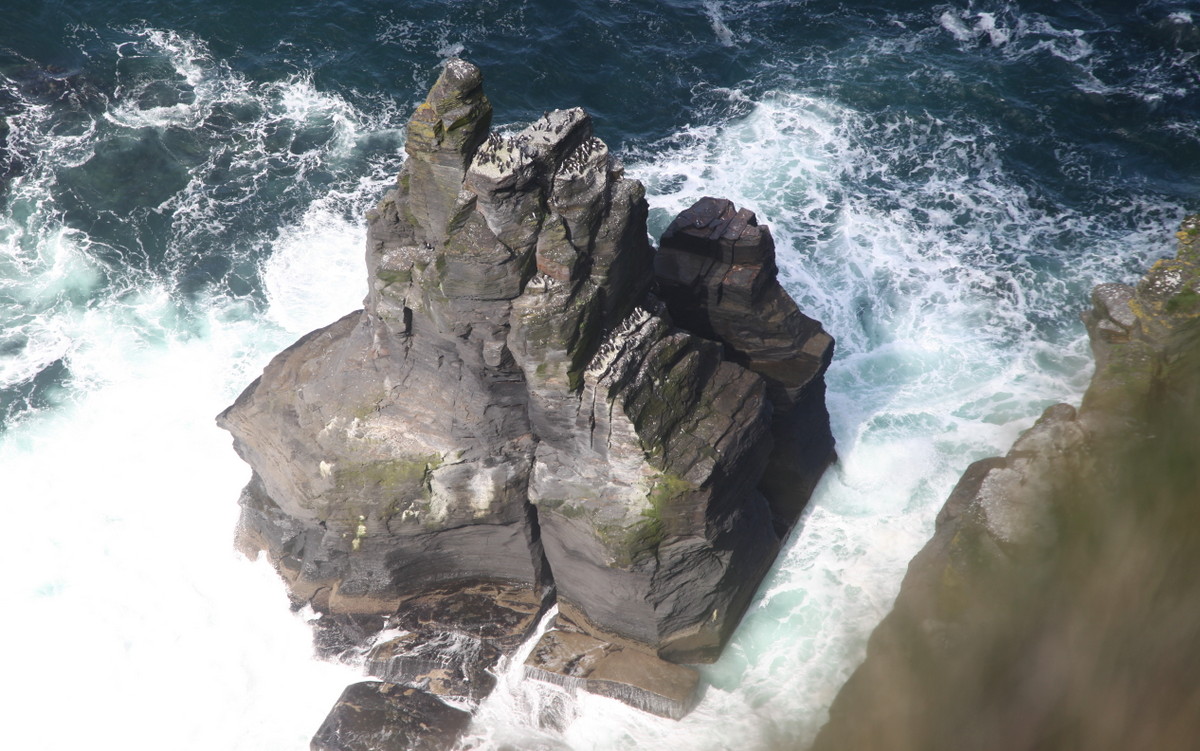
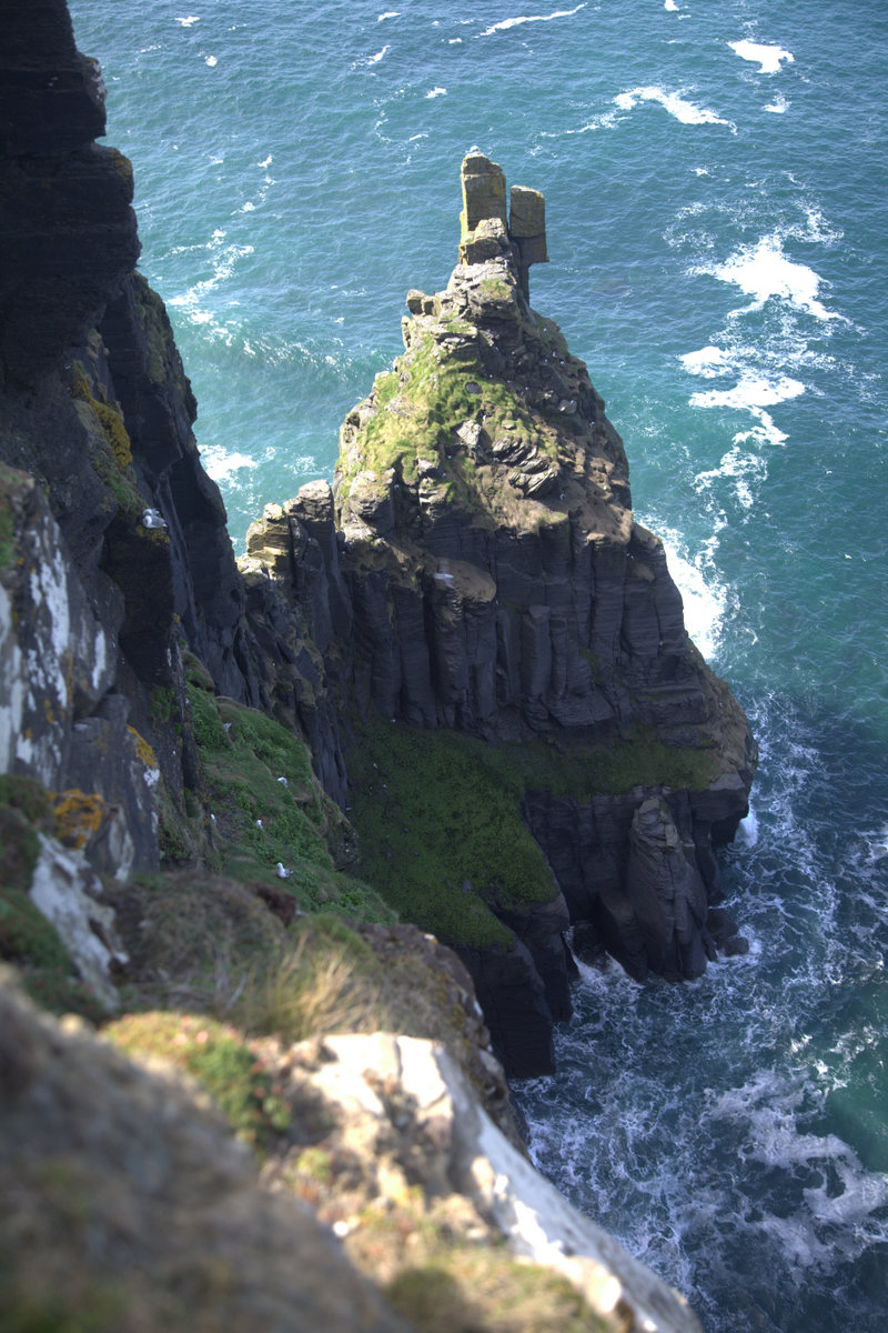
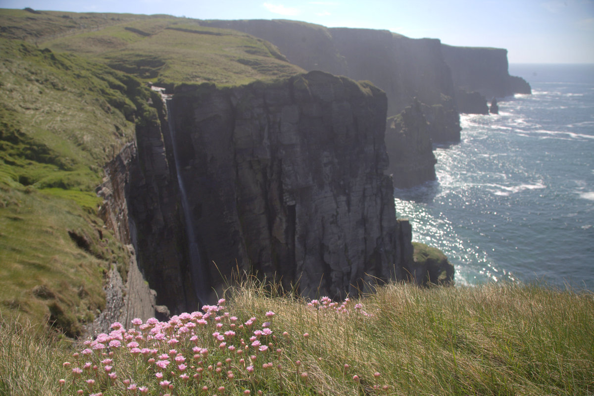
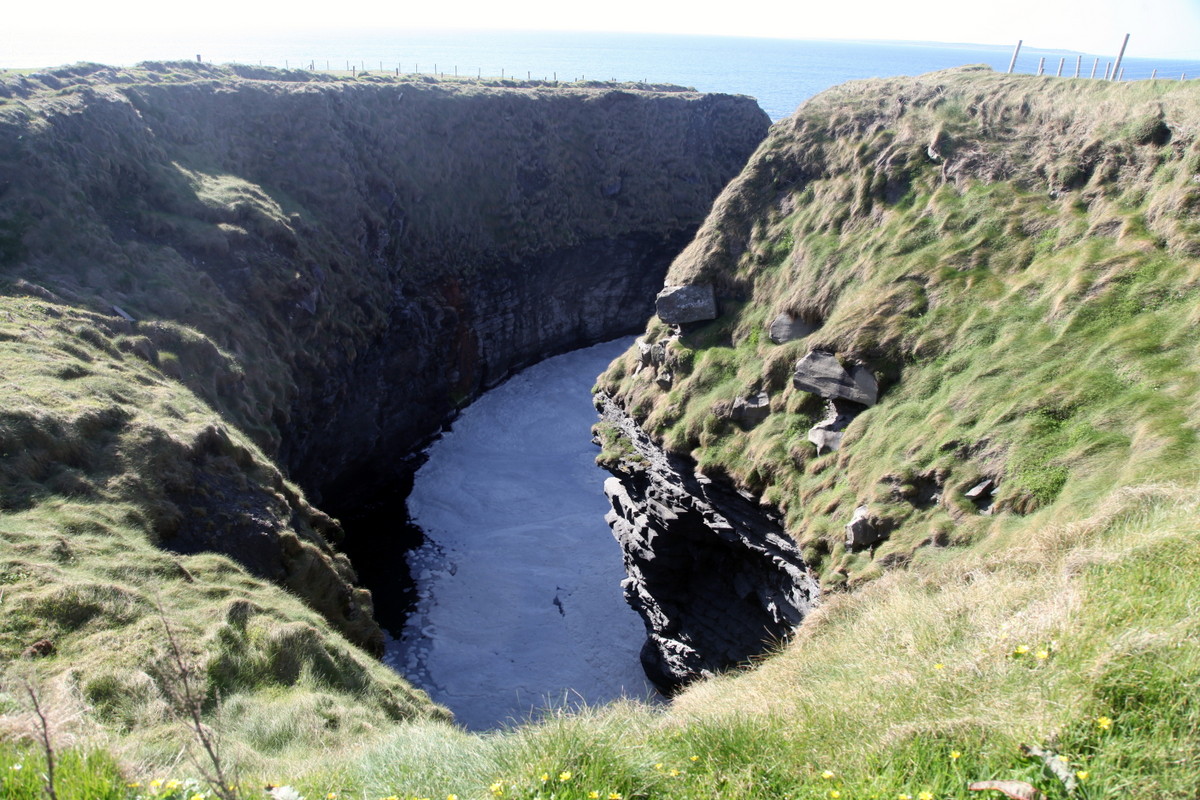
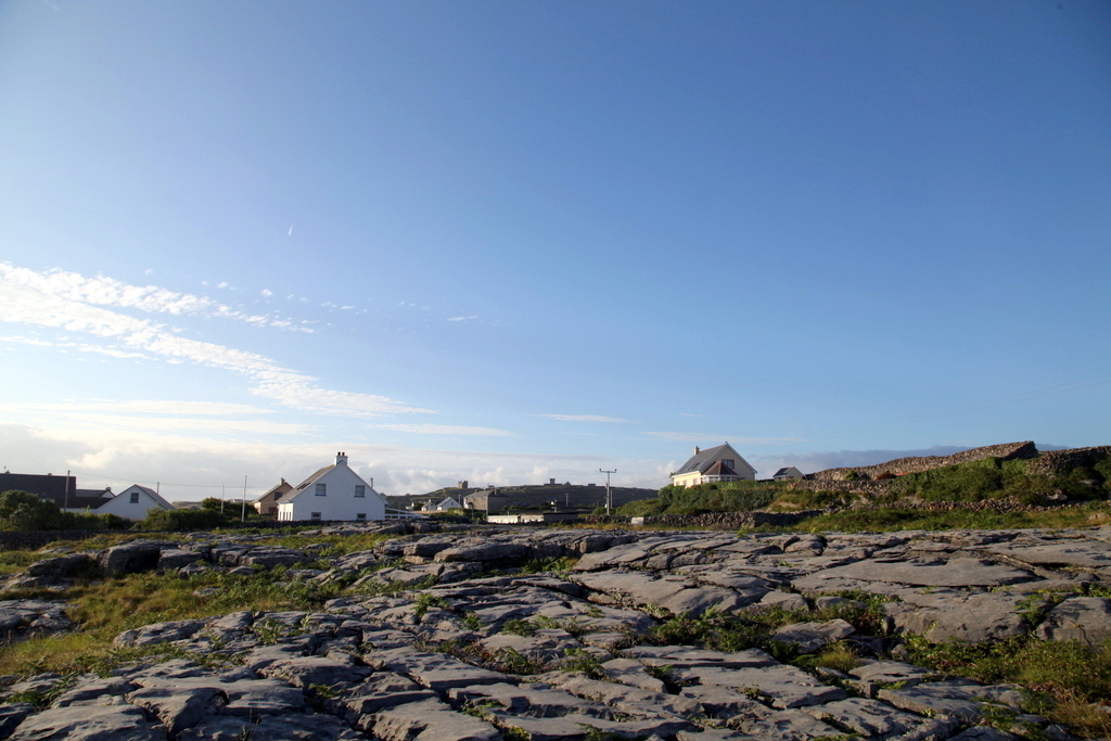
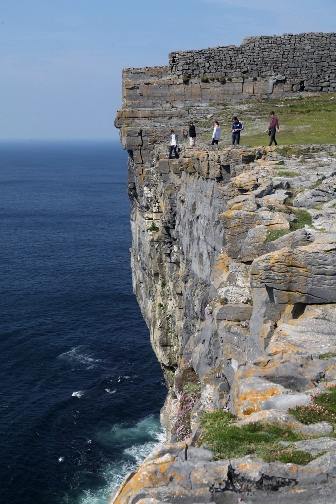
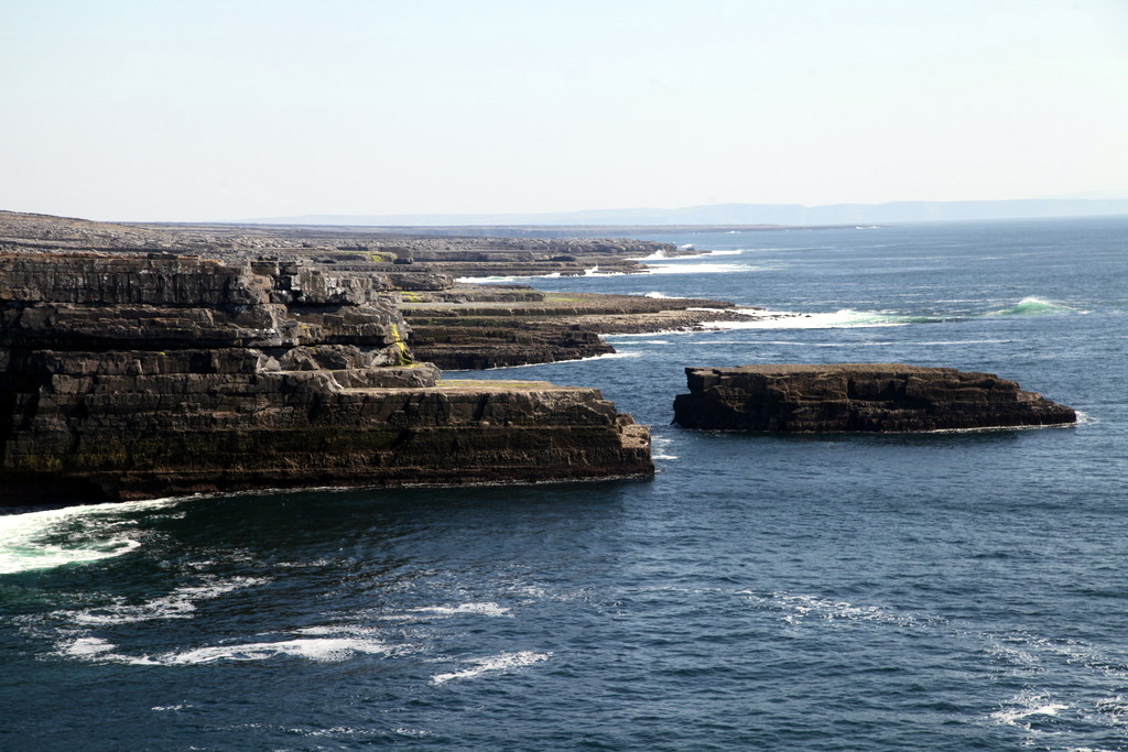
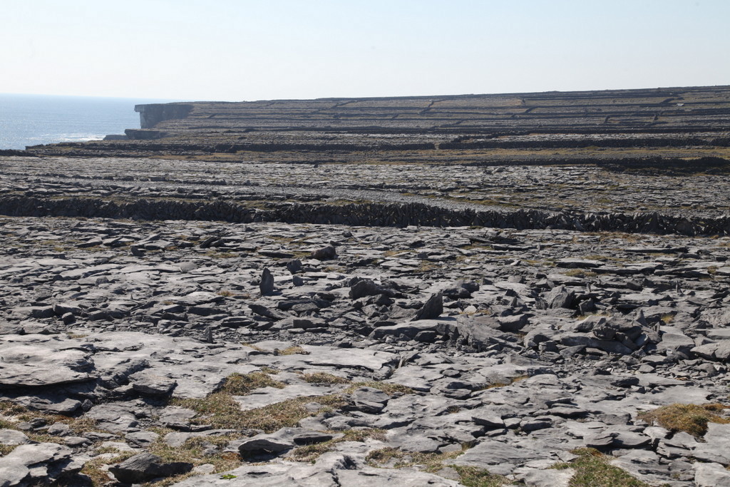
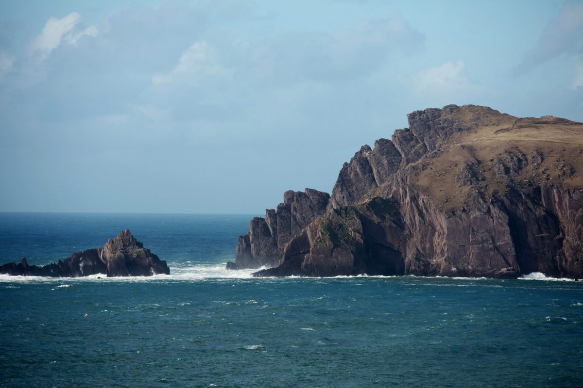
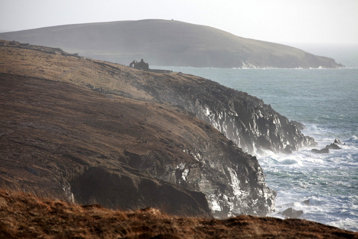
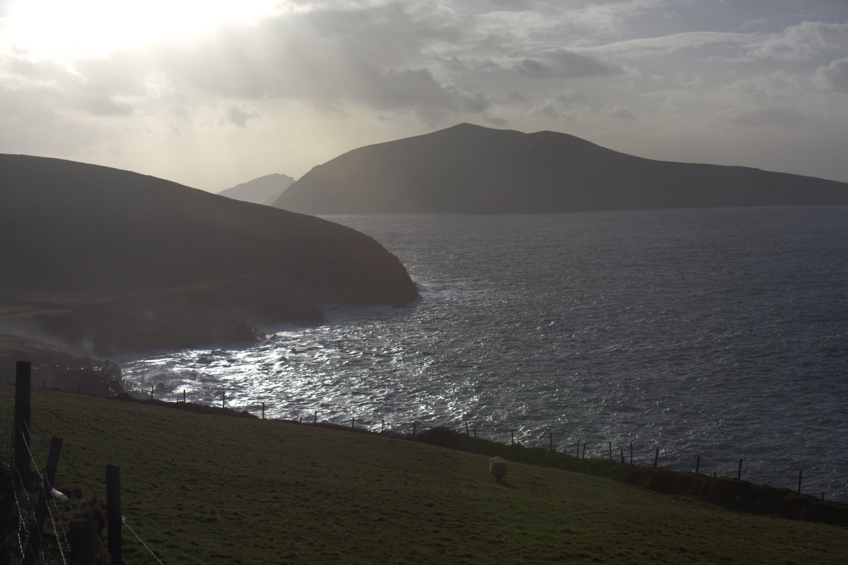
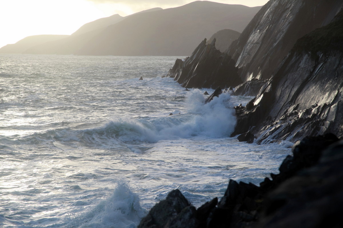
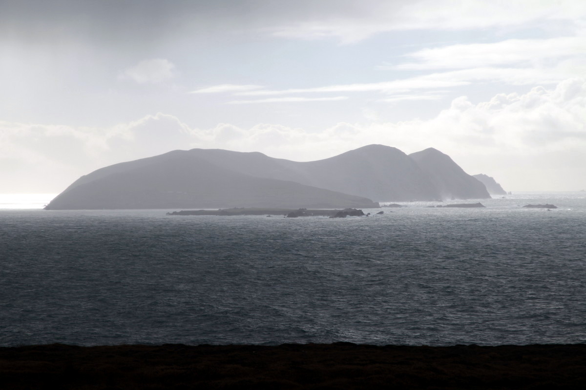
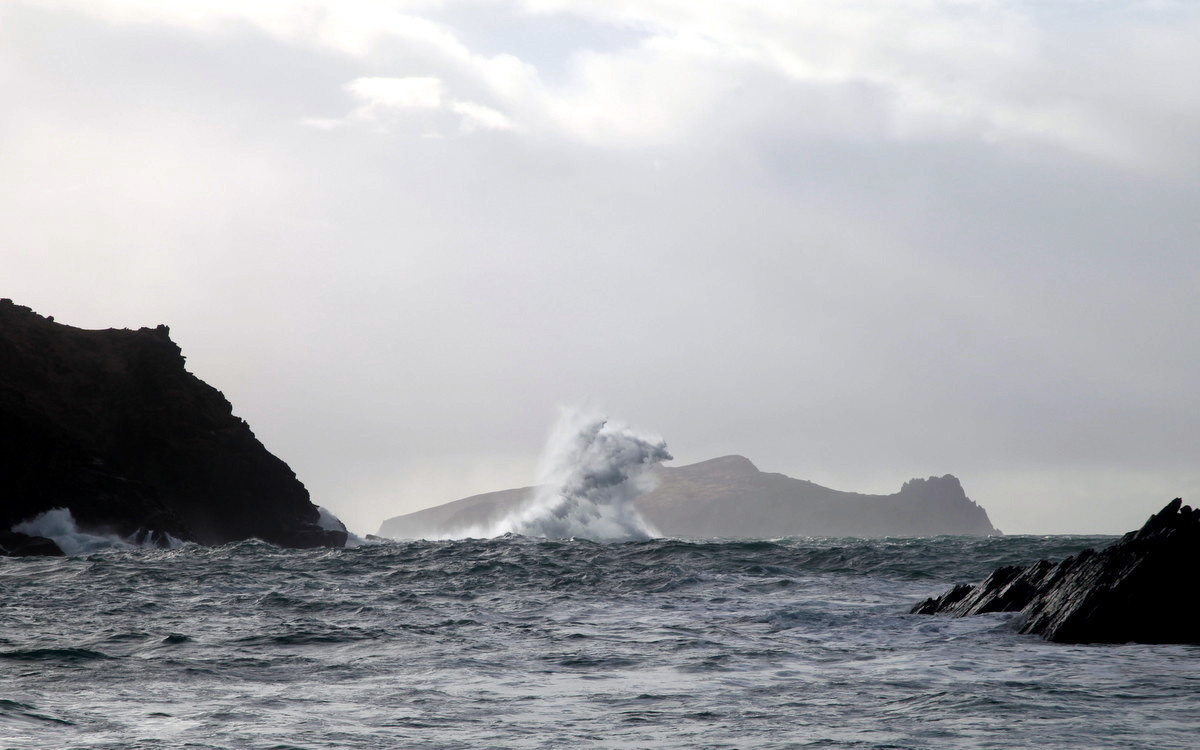
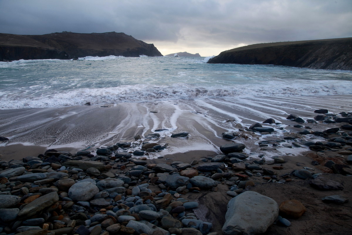
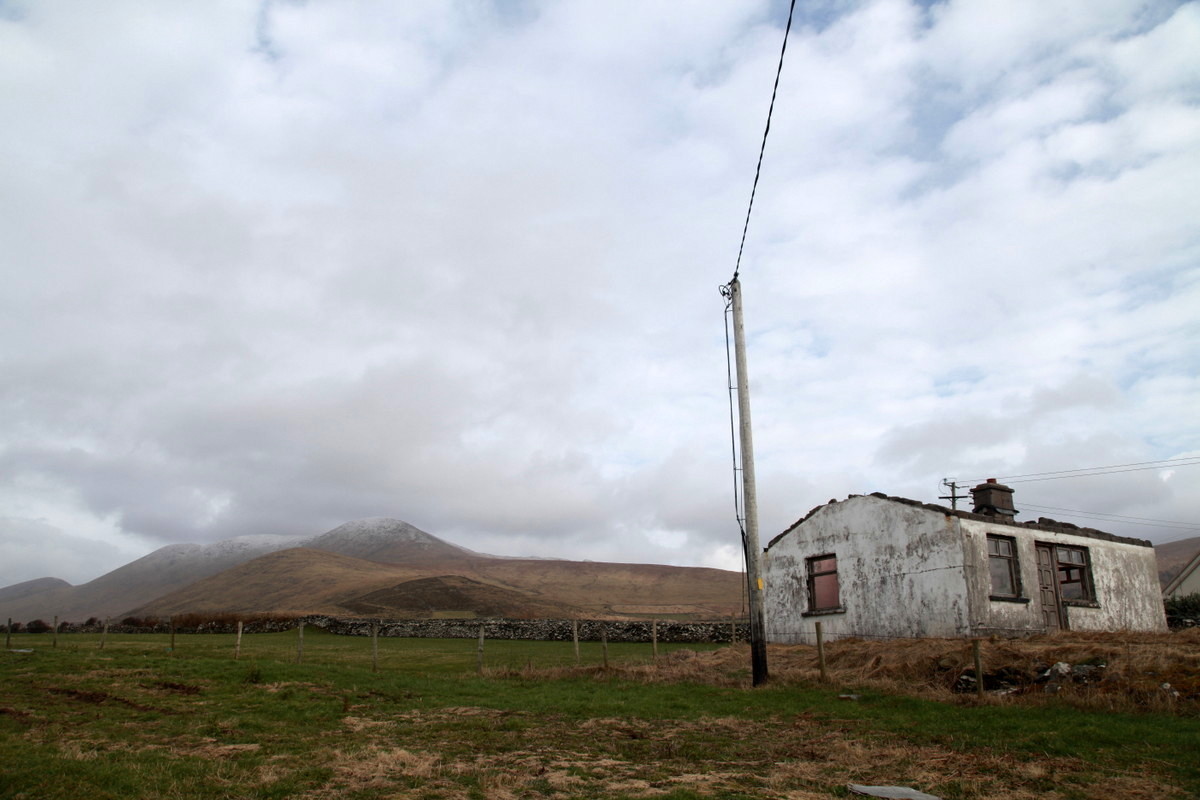
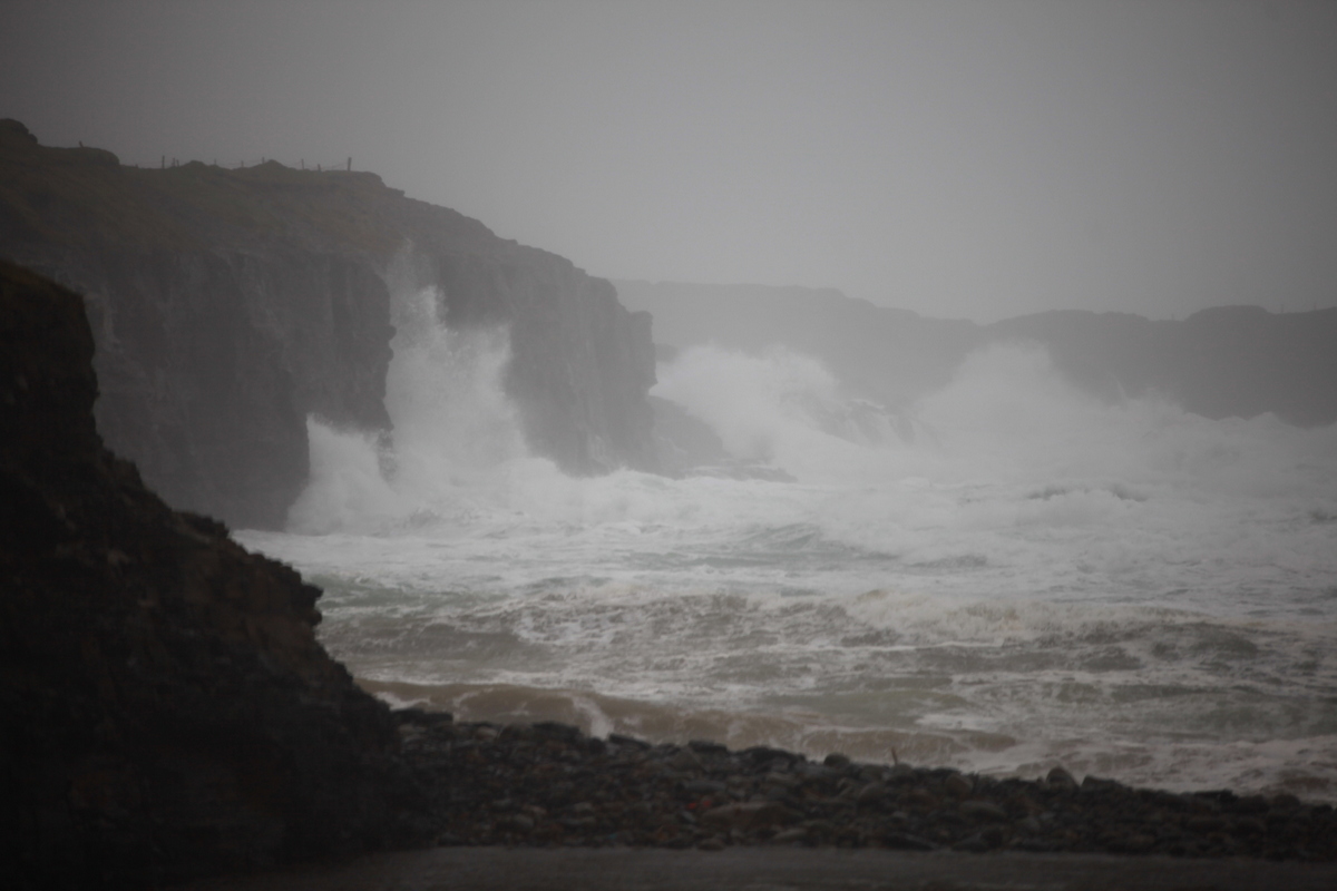
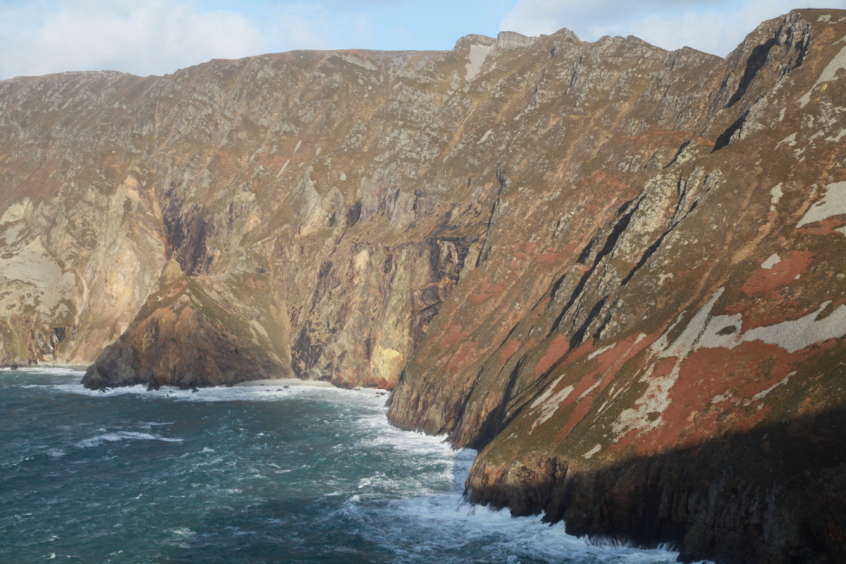
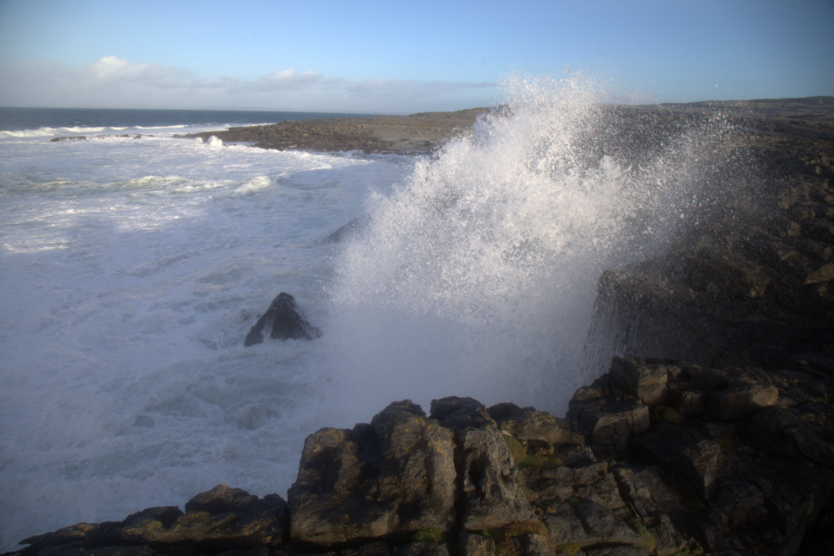
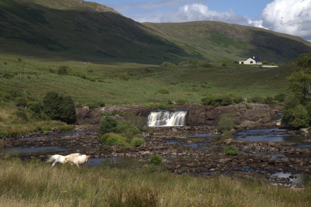
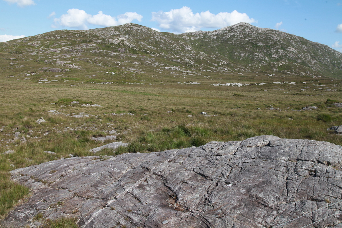
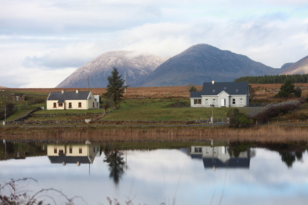
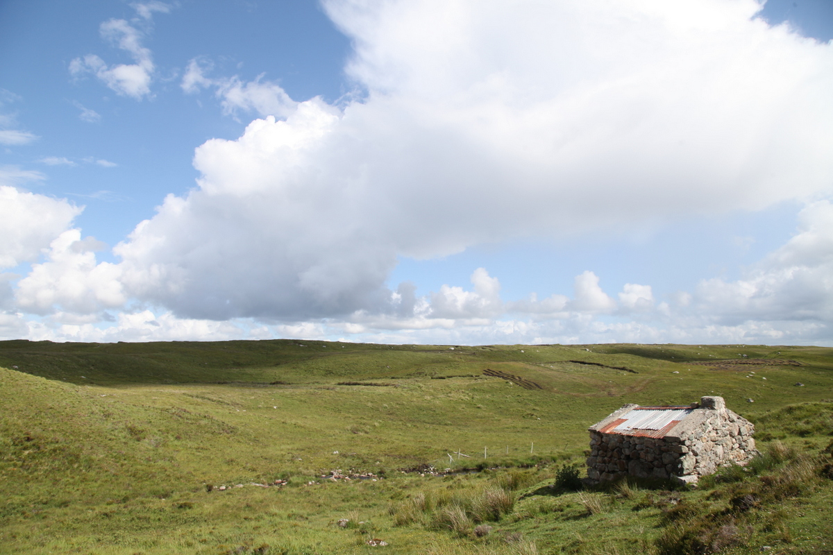
Elsewhere you will see wild, coastal panoramas, verdant forests, jagged islands or houses perched on grassy knolls with staggering views or nestled into rugged rocky cliffs.


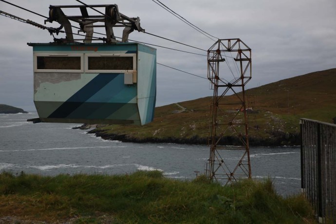
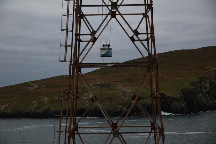
The drive to the end of the Peninsula and Dursey Island is not to be missed. But be prepared for perhaps a little disappointment. Ireland’s only cable car which links the island to the mainland and at this time of the year only runs between 9.30am and 11am was ‘fully booked’ and not operating for transport of people. It was being used for the day by the local farmers to transport hay across the narrow channel. Where else would tourists be turned away, some mind you who had travelled especially, in favour of bales of hay? Only in Ireland. But somehow it didn’t matter, there was so much else to do and it will be there (possibly) next time. You’ve got to admire the ingenuity of the farmers here. I saw an old ‘retired’ cable car in a yard being used as a chook house. Love it. And love the little insect houses thoughtfully provided by one farmer.


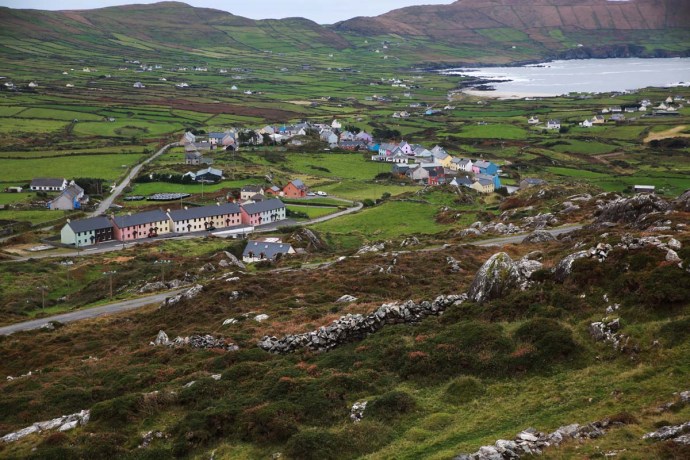
Then there is the colourful palette of the charming village of Allihies, which single-handed may be responsible for keeping alive the paint pigment industry in Ireland. Purples, pinks, indigo and every other colour merged harmoniously into the greys, greens and reds of its rocky backdrop.


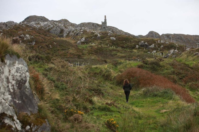
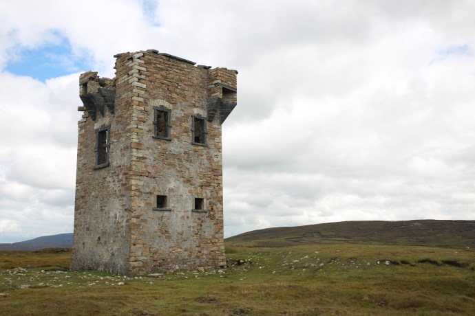
And towering over the town is the architectural masterpiece of the Engine House of the Mountain Copper Mine built around 1810. Maybe you think masterpiece too strong a word but it is at least the equal from a heritage perspective of the megalithic ruins or the monastic abbeys that populate the tourist guide books. This is the finest example of an historical mine building I have seen in this remarkable condition. It speaks of the confidence and wealth that the mine brought to this remote outpost as it became one of the jewels of European copper mining during its heyday from 1810 to its closure in the 1920s. There are plenty of reminders of the mining period; old shafts and adits, mine workings, two other engine house ruins, stone walls and in places the tell-tale green and blue staining of copper carbonates.

Mountain Mine engine house


Chasing the copper


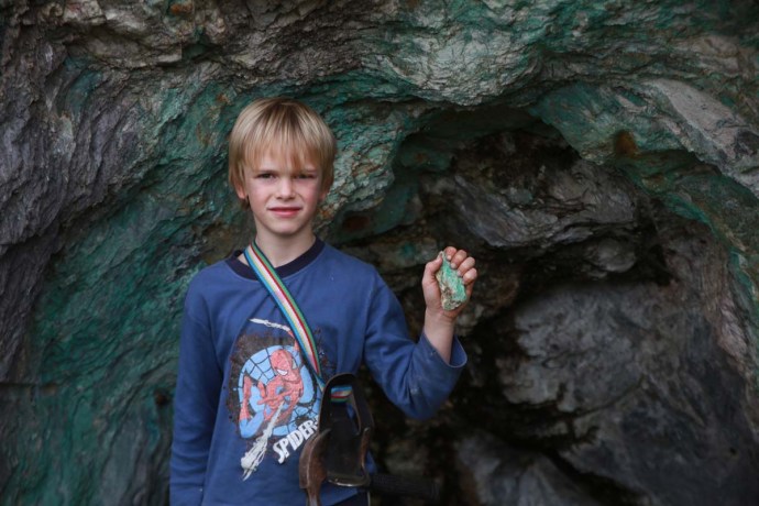
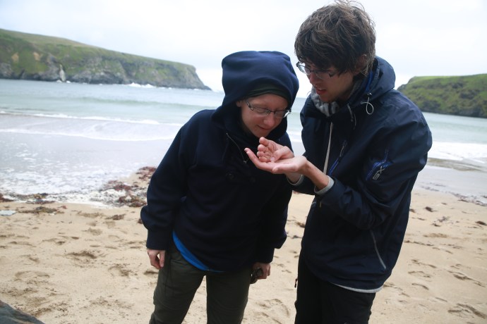
There is a museum which gives a very good account of the mining story but unfortunately it is a bit expensive which turns some away. All aspects of the story are covered including the geology, mining technology and social impact. As a geologist it was of course fascinating. And even more so for me having met the next generation of miner there, young J and his mum Frances, locals who had come to see if they could find any copper. As it happened I had seen some workings with strong copper on the way up the hill, so I offered to show them and took them there. J’s wide eyed fascination and enthusiasm was enough reward. Maybe I have helped kick start another geologist’s career.

Still on copper, I stopped at Puxley Manor near Castletownbere. Actually the site of the mansion is right near the ruins of Dunboy Castle but more on that later. It would seem that the location is well cursed having witnessed a number of tragedies over the past 4oo+ years.
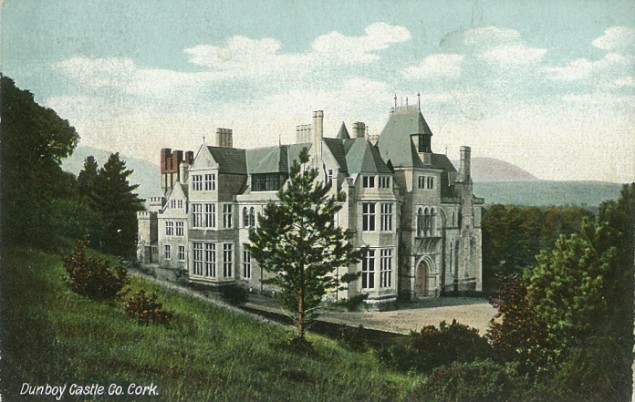
Puxley Manor around 1910
When I first saw the Puxley mansion it was 20 years ago it was a shell of a ruin. It had been the home of the Puxley family since the 1700s. They pretty much owned the copper mining industry here and ended up fabulously wealthy. As the industry declined so did the Puxley wealth and when his wife died in childbirth Henry Puxley, the last owner, abandoned the castle. Worried that the British Army would take over the abandoned house, the IRA torched it in 1921, destroying it and its contents. The shell was sold at auction in 1927 but remained a forlorn ruin as this photo shows.
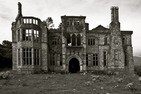
Puxley Manor in the 1990s
This is what it looked like when I saw it in 1996. It was sold to a developer in 1999 and the Celtic Tiger roared. It was to be transformed into a luxury 6-star resort hotel, the only one in Ireland. Massive restoration and conservation work was carried out and all progressed swimmingly with a soft opening in 2007. That was until the money dried up in 2008 with the GFC. By 2010 the project was abandoned and a mesh fence erected. The bats returned but not the visitors. This is how it appears today. The rotting hull of a large boat sits in the harbour as if to reinforce the tragedy. Such a grand vision. The restoration did not however extend to the gate house which stands impressively ruinous.
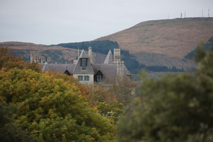
Puxley Manor. restored but empty

Puxley Manor

Gatehouse. Puxley Manor
I said earlier that Dunboy Castle remains were nearby. This was the ancestral home of Donal Cam O’Sullivan, last of the Gaelic chieftains and a thorn in the side of Elizabeth I during the nine years war which started in 1594. In 1602 she sent a large battalion of troops to destroy O’Sullivan and the 143 men, who tried to defend the castle, could not withstand the British canon. Surrender was not an option after an emissary sent to discuss terms was hung in full view of the defenders. This ultimate fate awaited all those remaining once the British destroyed it and the castle was never lived in again.


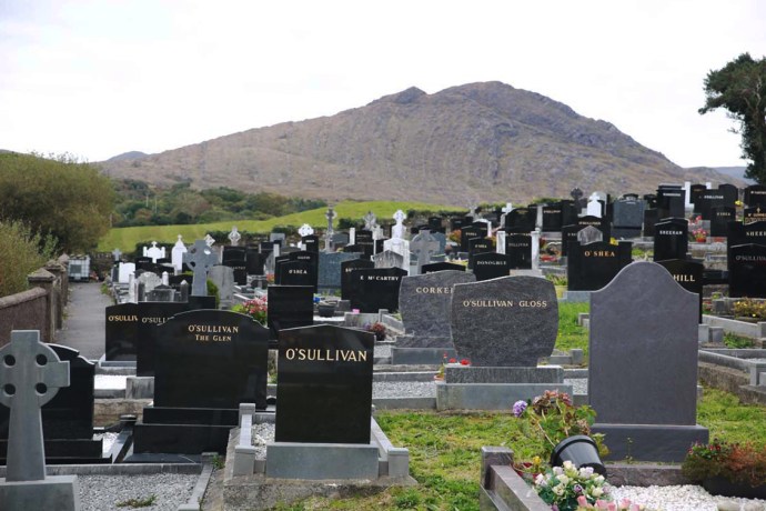
The name O’Sullivan however is everywhere on the peninsula. You can’t avoid it.
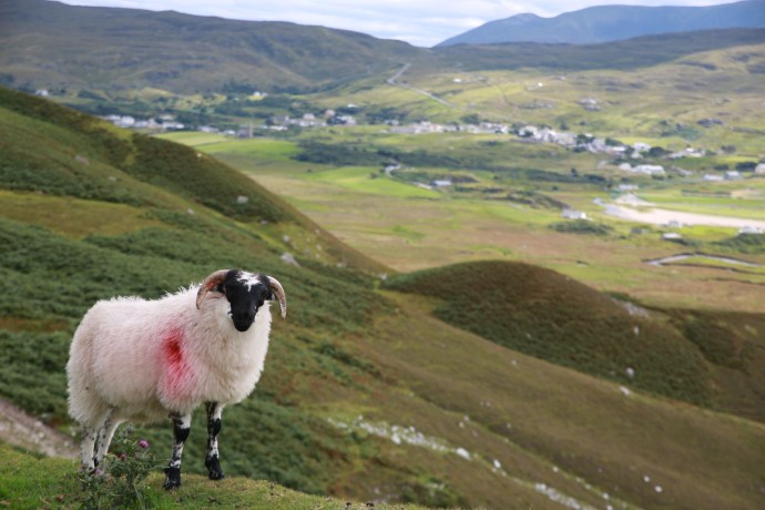
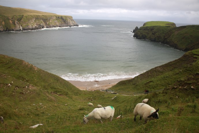
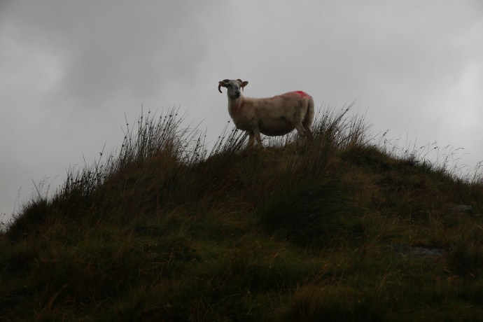
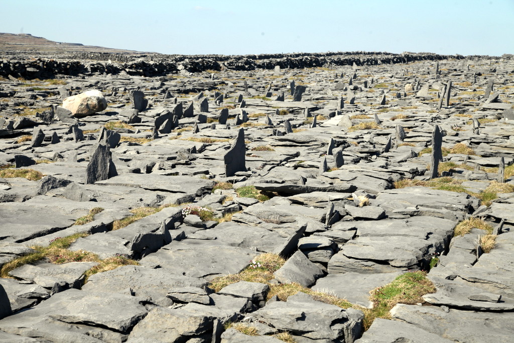
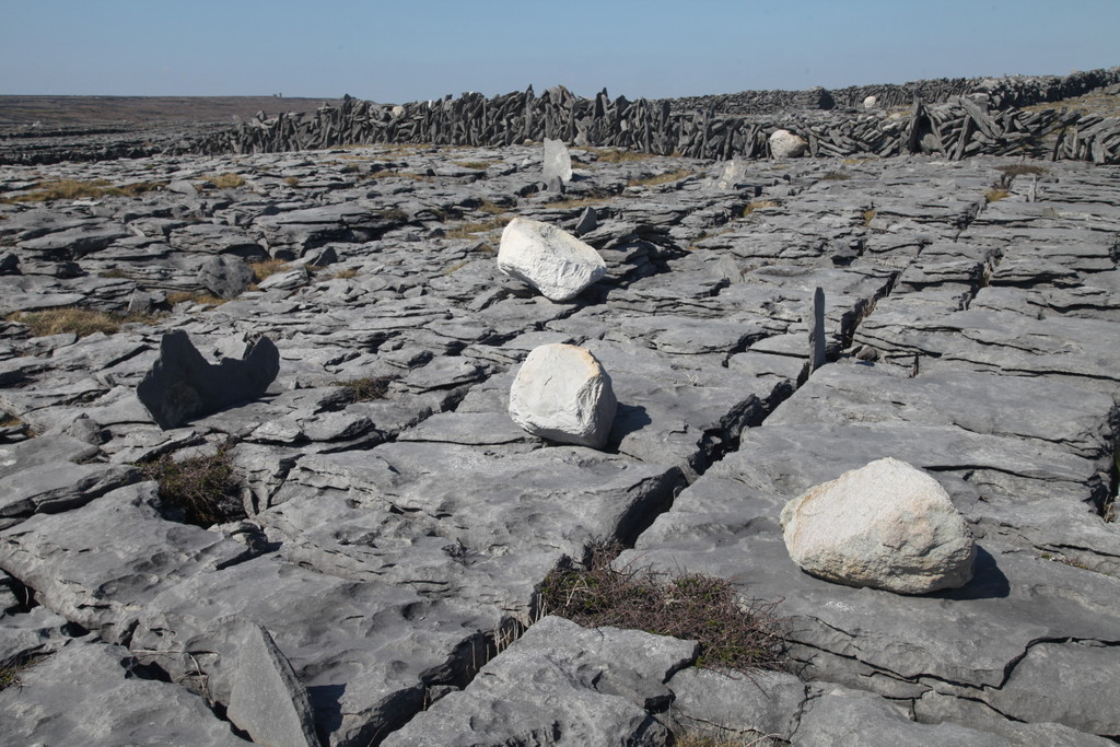
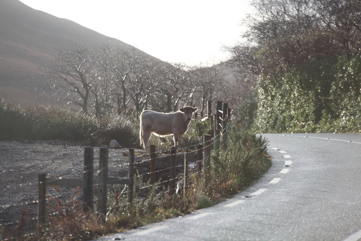
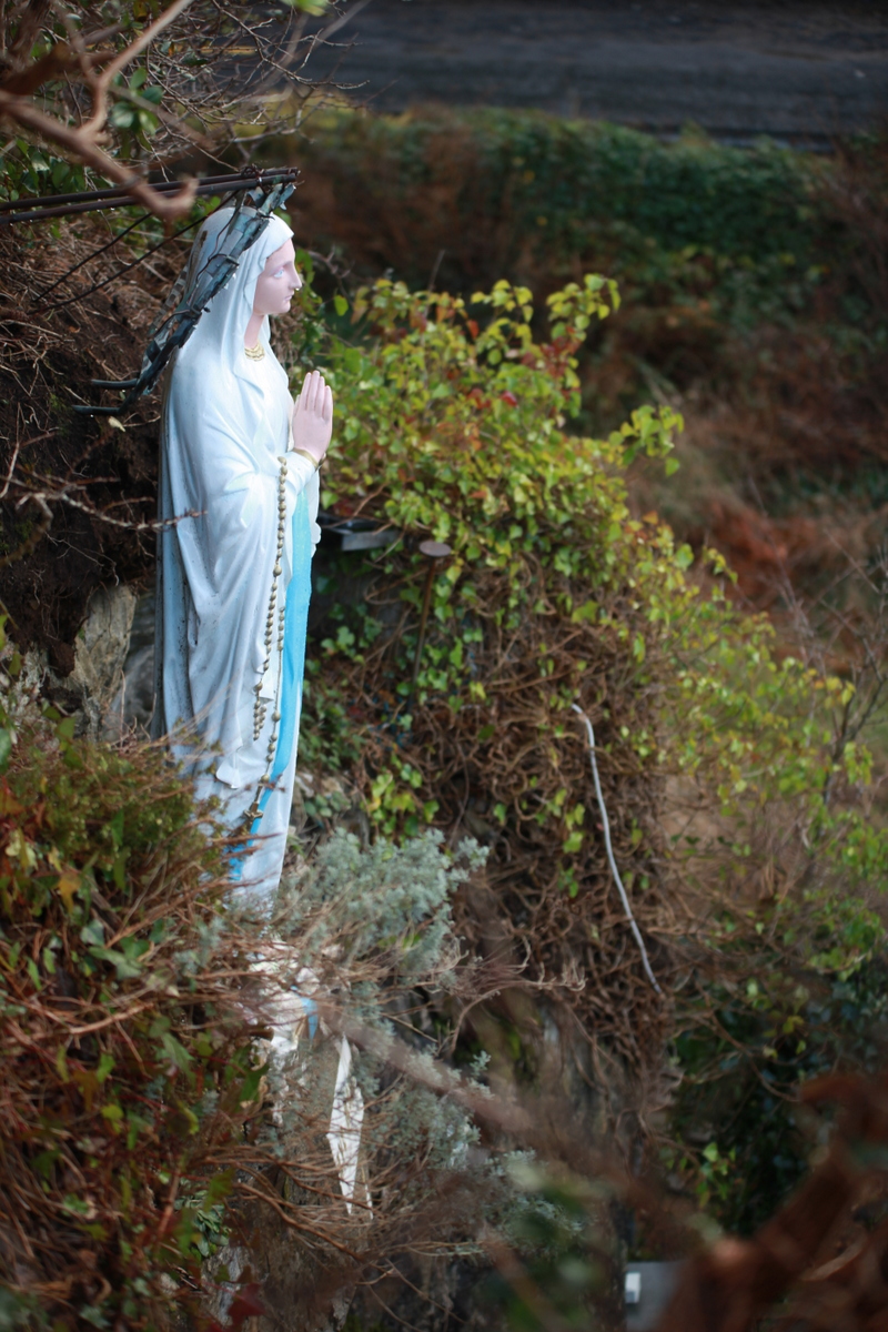
This little enclave of Cork is truly a gem and you could spend a week here or even a lifetime. There are plenty of stone circles, forts, monuments, holy places (such as the Mass Rock) and extraordinary natural wonders to explore and discover. Oh, and sheep. And there’s Dursey Island, if the cable car is running. And if you’re up for it you can walk it all on the Beara Way.

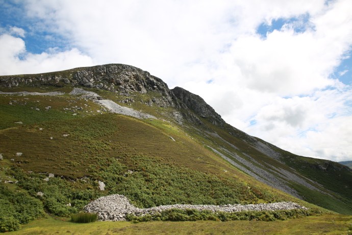
Ring fort

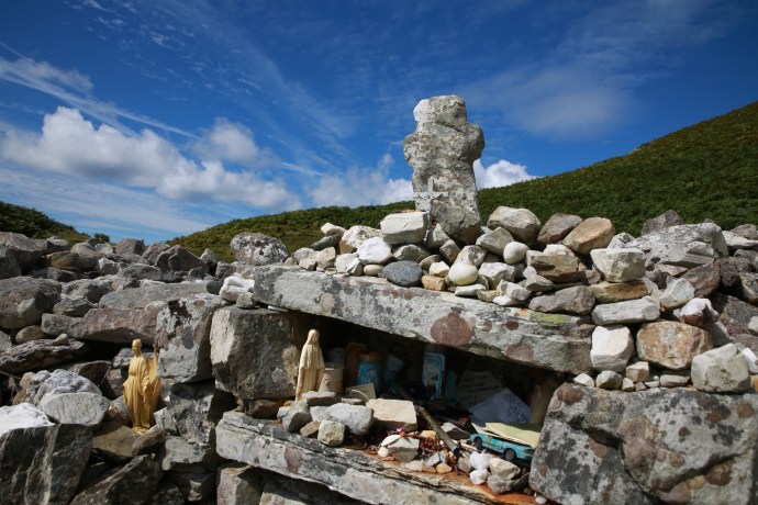
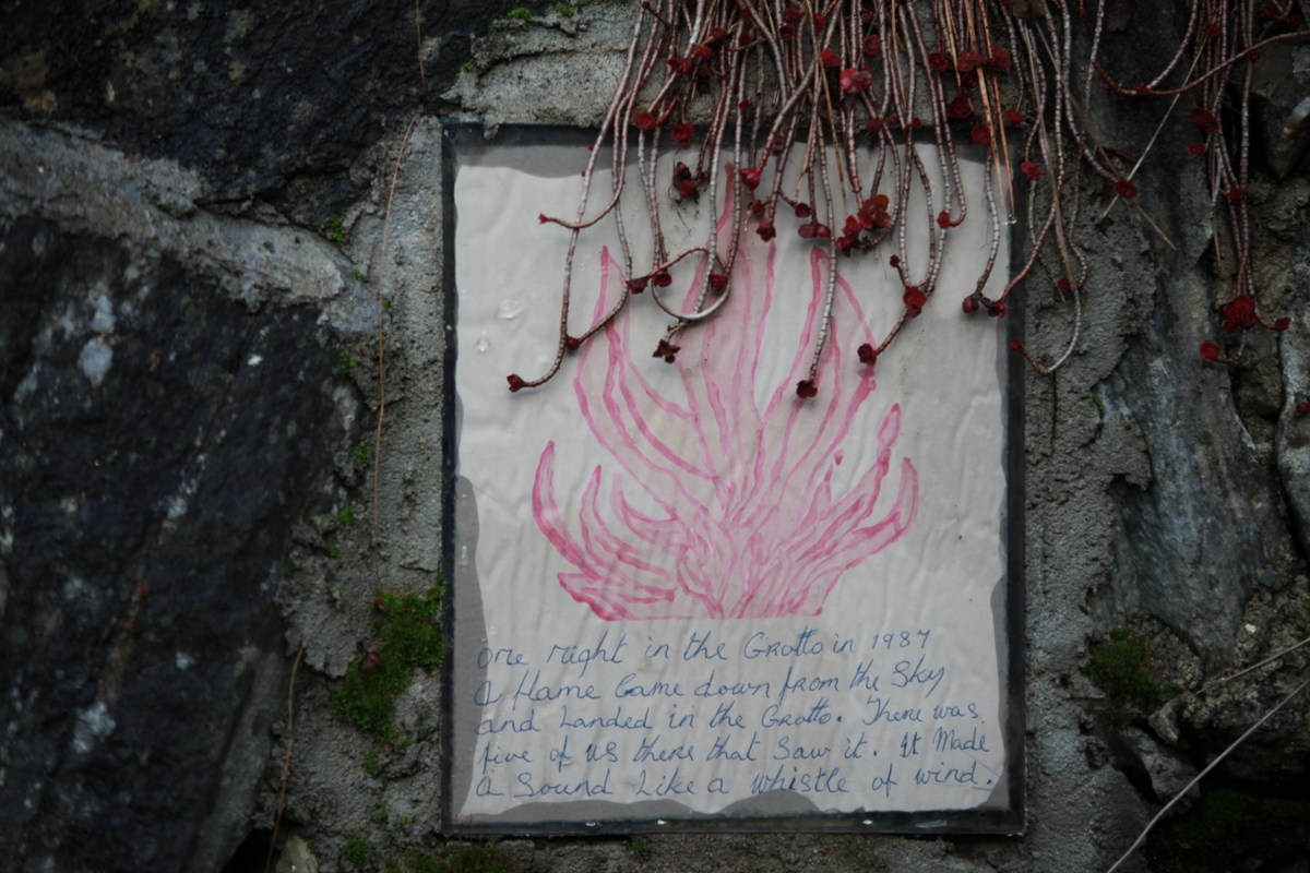
Mass rock
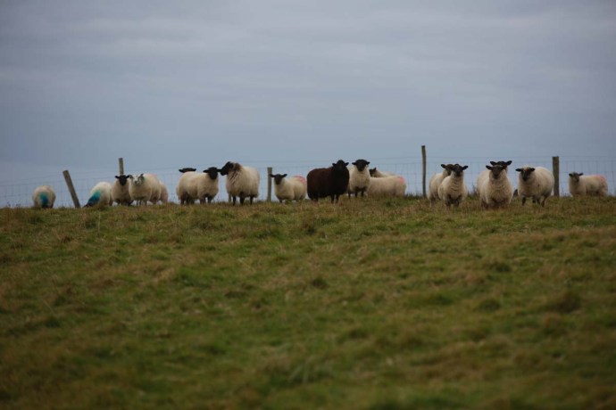
The black sheep in the flock
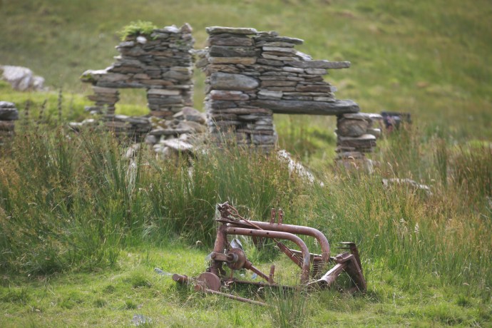
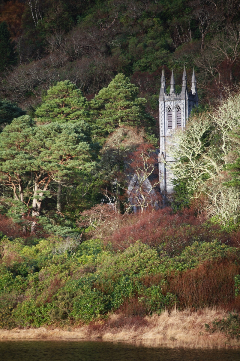
There once was a church
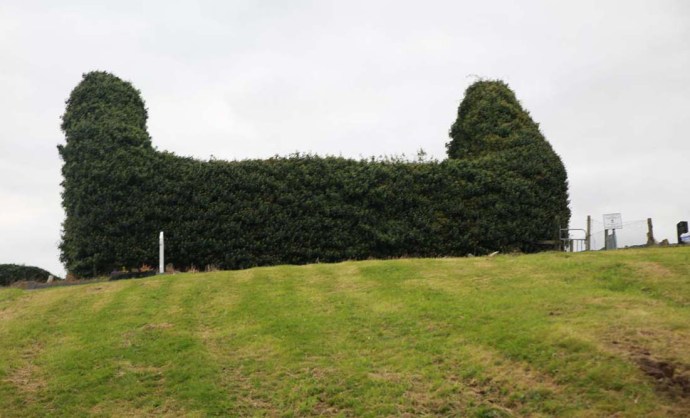
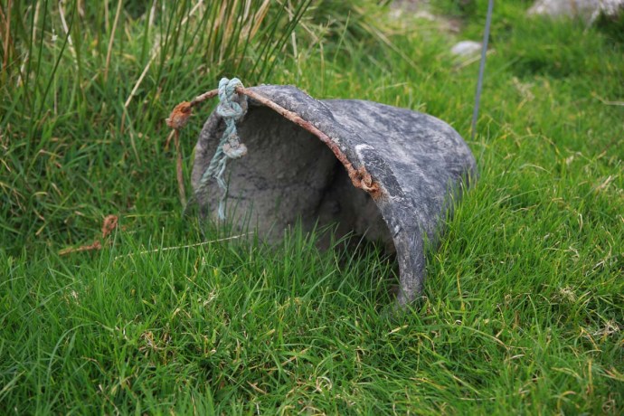
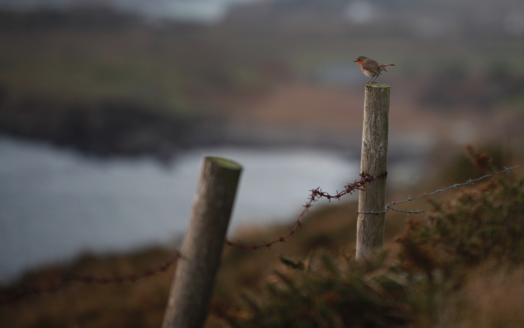
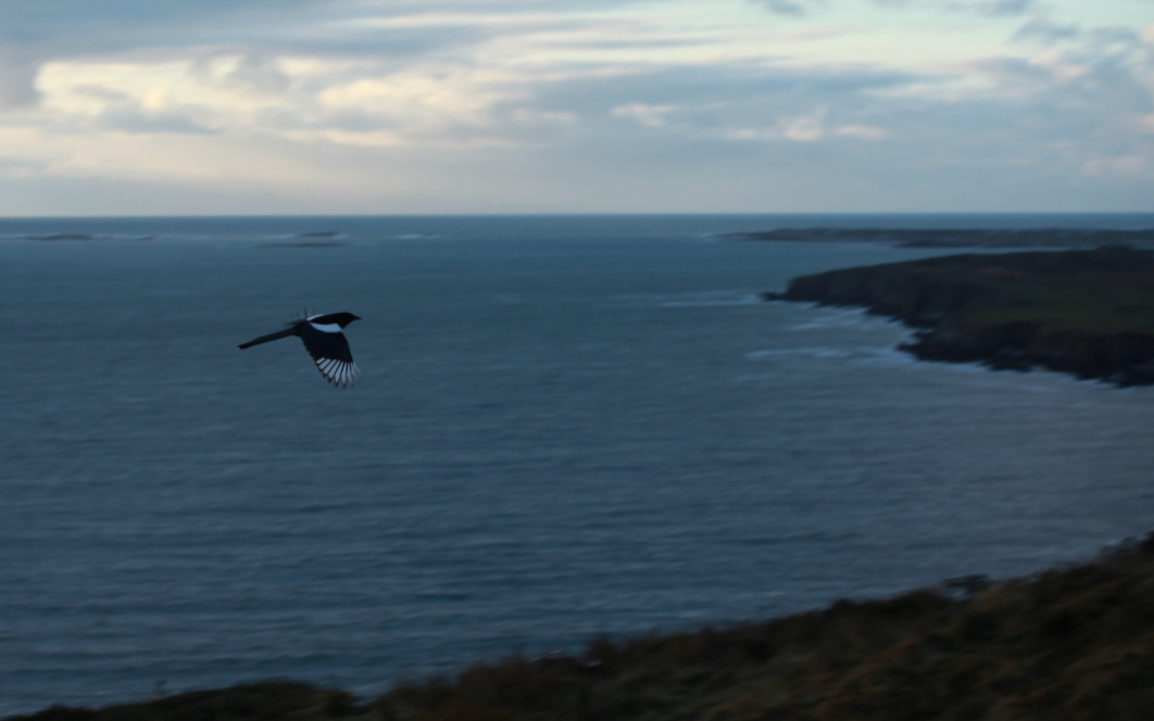
The beauty though is not just in the grand vistas but in a host of other details for me that capture the personality of a place. Here are a few photos that speak loudly about the struggle for life for both nature and man.
Abandoned bucket near a well.

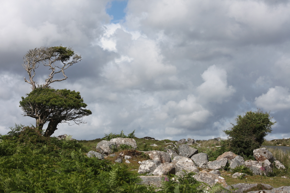
Perfect bonsai tree growing wild.

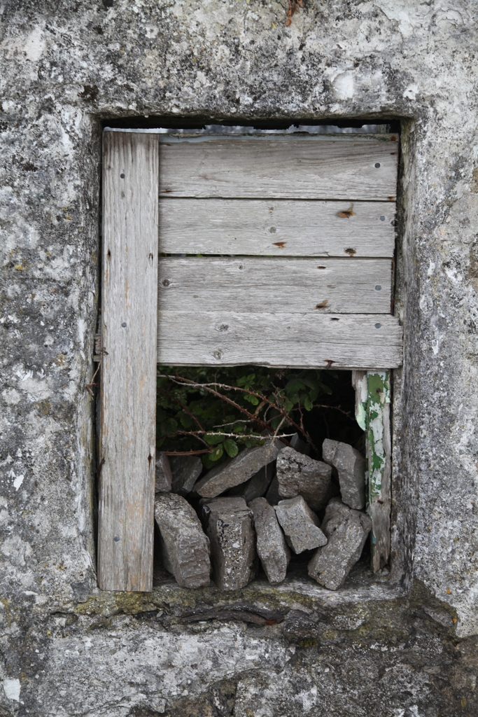
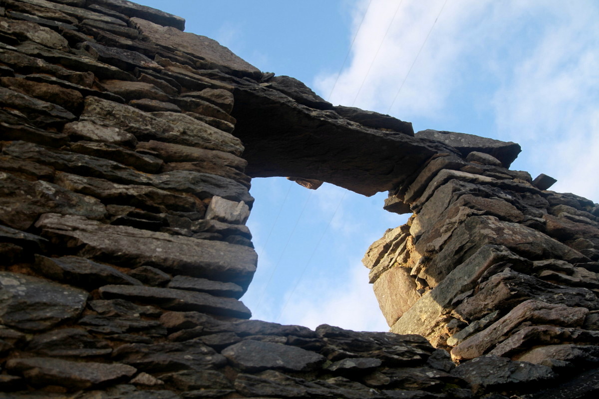
Window treatment

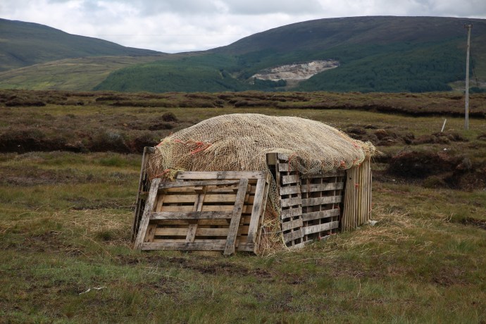
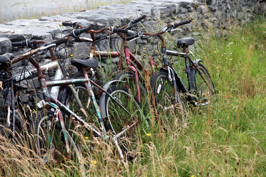
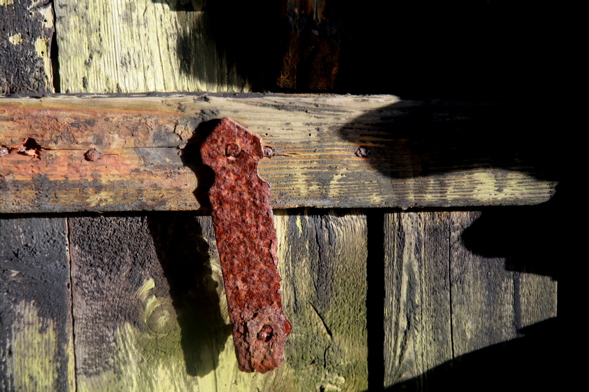
Ingenuity

Maintenance can be a problem
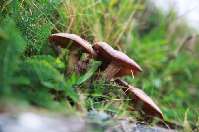
Fantastically fertile for funghi

Life hangs on
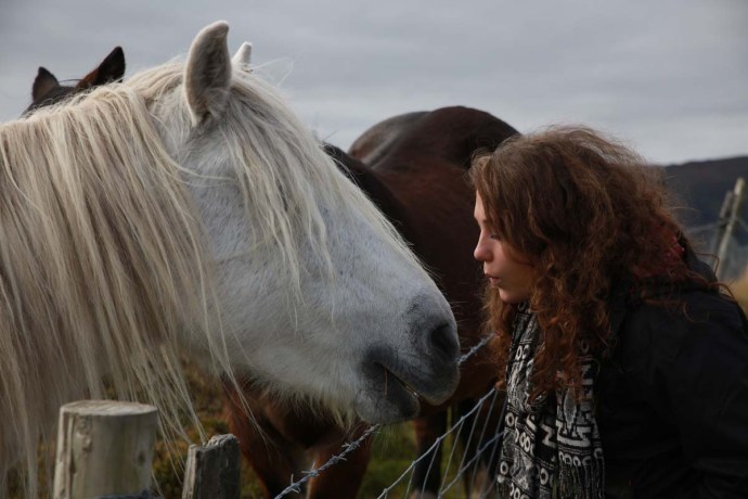
True love

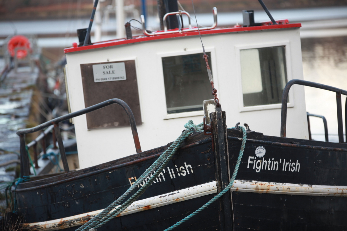
Faded hope
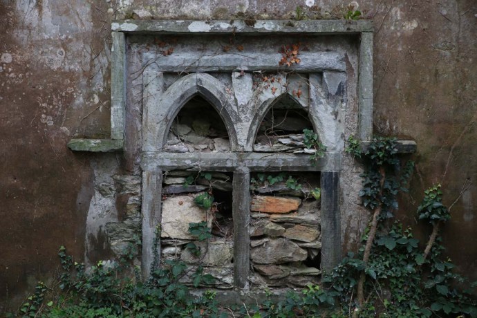
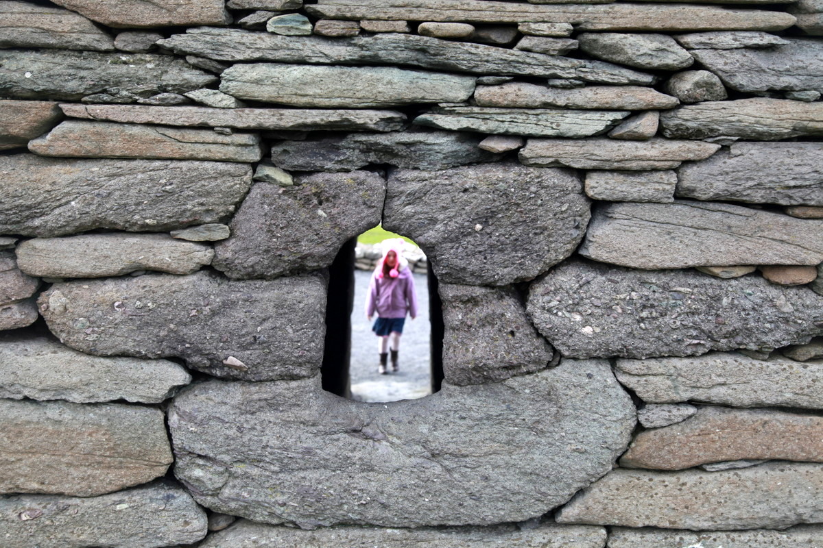
Was this to avoid the window tax?
So that’s it. I’ll be back and very soon.


